Sinkyone Wilderness State Park
Trip Date: July 7, 2006
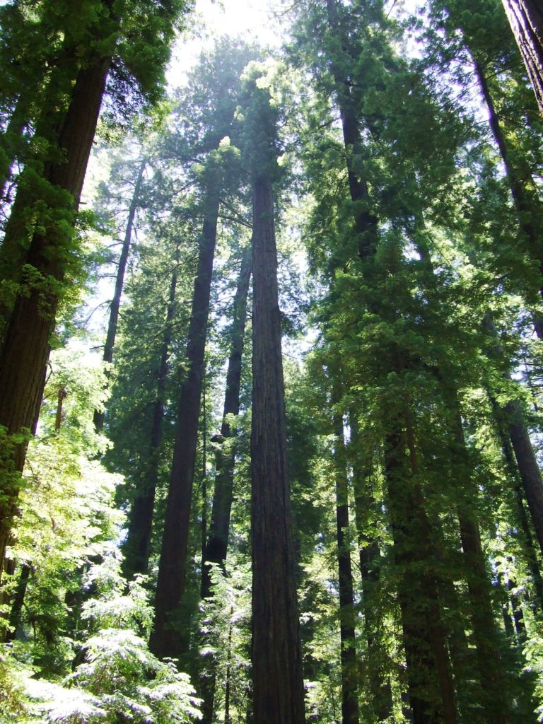
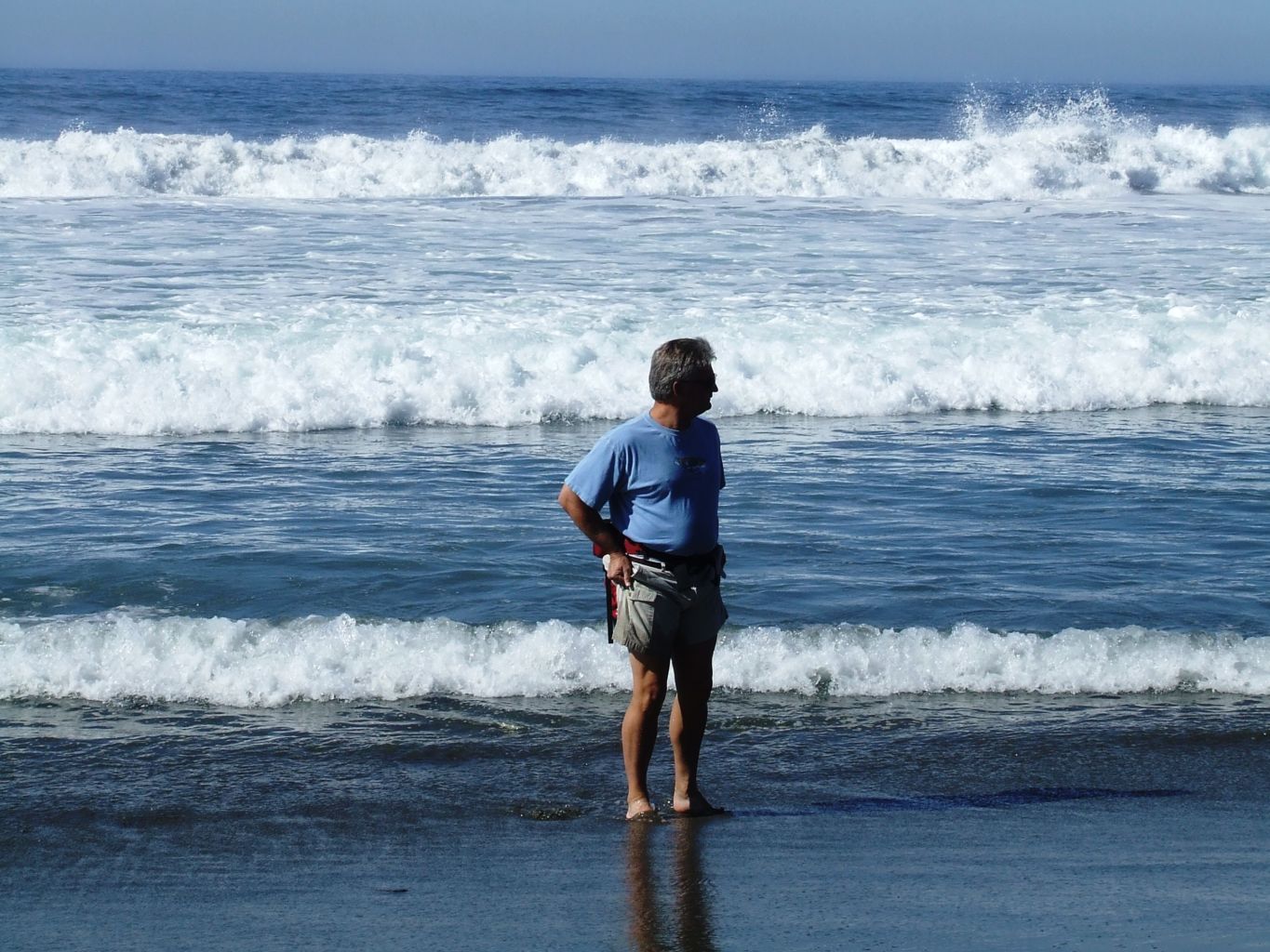
The dates on the pictures say July 7-9, 2006, so I will have to take them for their word as this is April 11, 2018. There also are 2 photos in the folder that don’t match that further blurs the memories, but I do recall the basic premise was to camp on the North coast along the Lost Coast. Sinkyone Wilderness State Park lies on the southern portion of the Lost Coast, a 60-mile stretch of wilderness comprising the park and the King Range National Conservation Area. I am fairly certain I did not know we would end up in a State Park, and I probably did not know it was part of or attached to the King Range National Conservation Area, I think I probably just wanted to get back to the Lost Coast, because that is such a cool name for a place.
Back when I was a student at Humboldt State University, the best Natural Resources school in the nation, Marty, Pete, and I went on a backpacking trip with a small group of students through the Lost Coast. The trip was organized by “Center Activities” and is still offered today. We had an absolute blast despite it raining often and heavily at times. Our trip had to be cut short and we had to head back to our starting point rather than heading all the way through to the end because the road to the far end was washed out and the creeks in front of us were too high to cross. However, I still have many images in my mind from that trip; the seals playing in the surf, the Brama bull by the cabin we stayed, the scary doll Marty put on me at night, the incredible greens, Jillba and Mirny and our cocktails. I may even have slides of that trip.

With that trip as my fuzzy recollection, I wanted to get back and share it with Kristen. I recall driving up Highway 101 and out Mattole Road from Weott. The Mattole is a beautiful valley and river that dumps into the Pacific near the town of Petrolia. This area, although far off the beaten path, is a must for any ardent California explorer. It is also situated just below Cape Mendocino, the westernmost point in California, just beating out Punta Gorda eleven miles to the south. Standing just offshore from the mountainous headland of Cape Mendocino is Sugar Loaf, a 326-foot sea stack. Several other large rocks protrude from the shallow waters along this stretch of coast, hinting that hidden ledges might lie just below the surface of the ocean waiting for a misguided vessel. That they do indeed exist is evidenced by dangerous Blunts Reef located three miles off the cape.
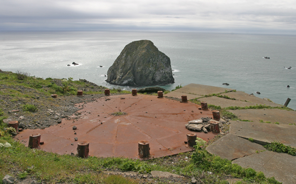

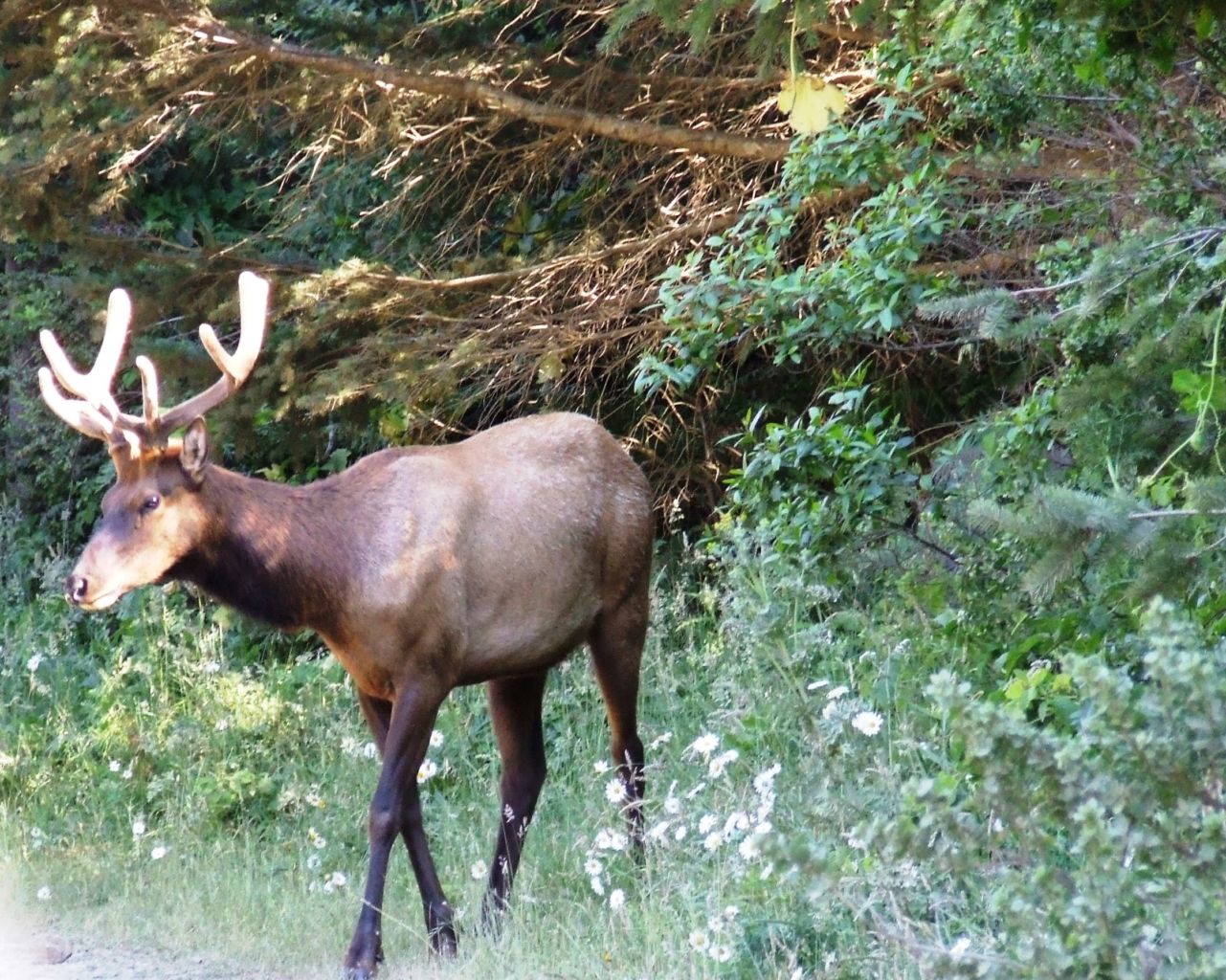
Far off the beaten path it is, and in hindsight, I realize I didn’t even have to come all this way, as our destination was way down the South end of Lost Coast. I do recall a ridiculously long drive and much doubt that we were on the right path as there were no signs or indications where we were or where we were headed. Perhaps it was the young Elk that let us know we were close, as we finally came to a sign and the little access road. The “Needle Rock Visitor Center”, such as it was, was not open, nor was there anyone else around. In spectacular fashion, we had the entire place to ourselves.
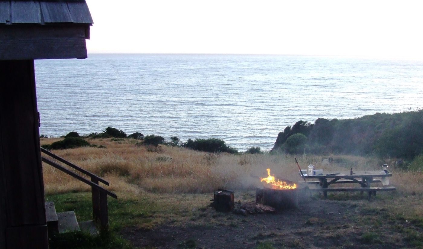
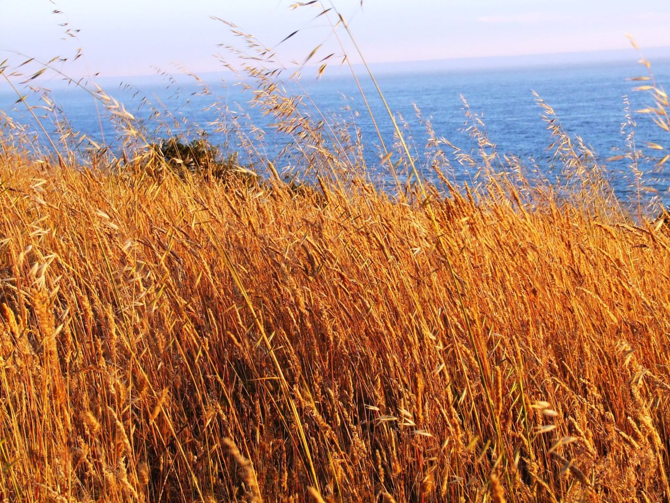
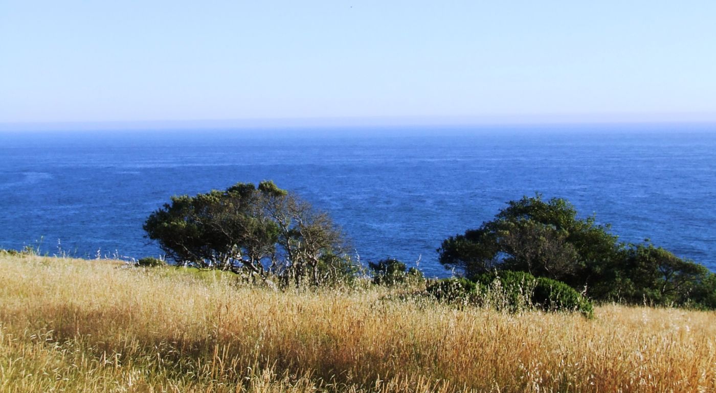
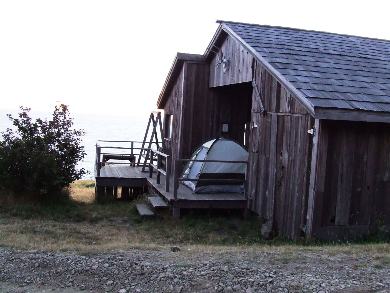
We chose an ideal site closest to the edge of the bluff overlooking the Pacific. The weather was perfect. I was excited to be back in this country, and we were happy to be out of the car and in such a wonderful place. Unfortunately, we didn’t have enough time, but we ingested as much as we could from the plentiful feast. As if we hadn’t enough rough, unmarked roads the day before, we didn’t take the easy way out to pavement either. Coming out of Redway on Briceland Road probably would have been the most direct way, but we drove a massive loop the entire length of the Lost Coast coming out on Highway 1 near Hales Grove. Other then the ridiculously long drive, I didn’t mind because we drove right past Usal campground, which is at the very southern tip of the State Park, and a place I will definitely return.

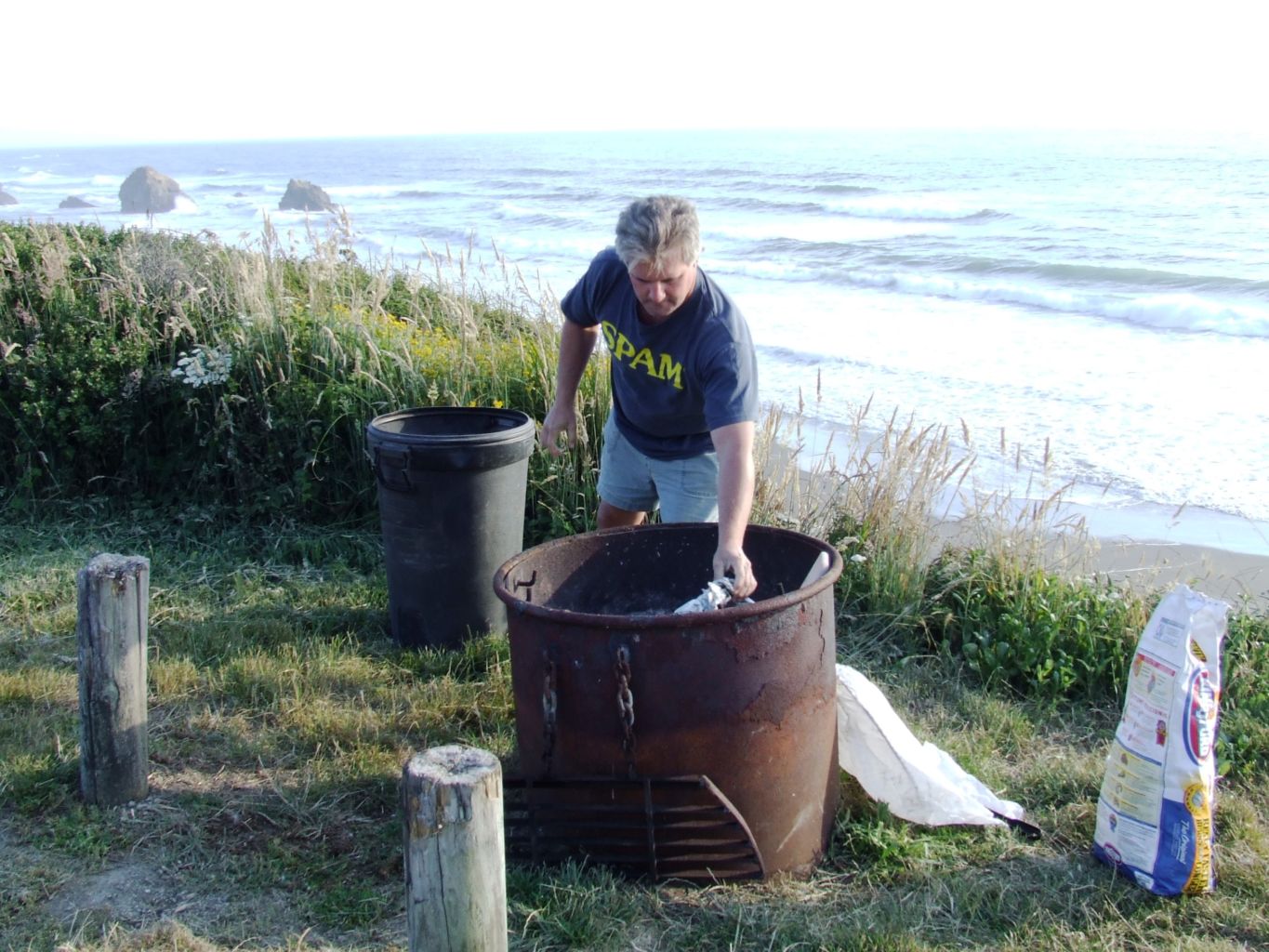
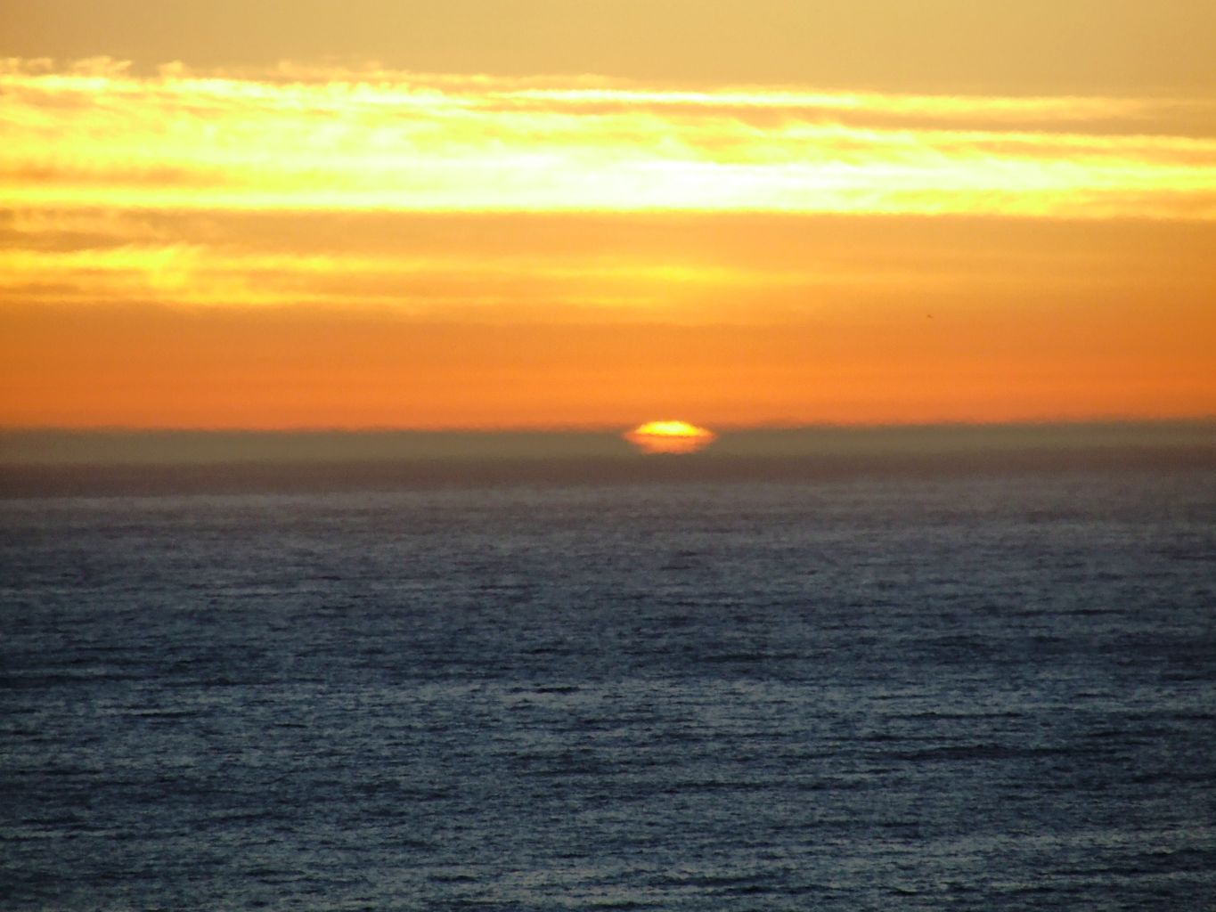
Once back on Highway 1, we headed South to Westport-Union Landing State Beach perched along a Cliffside high above the beach. It is a perfect place for an RV as I assume the wind blows often, and of course the storms must be plentiful and powerful. However, our perfect weather continued, and we pulled up to a table and fire ring with a million dollar view. The sunset, the food, the beverages, and of course the company, were unparalleled.
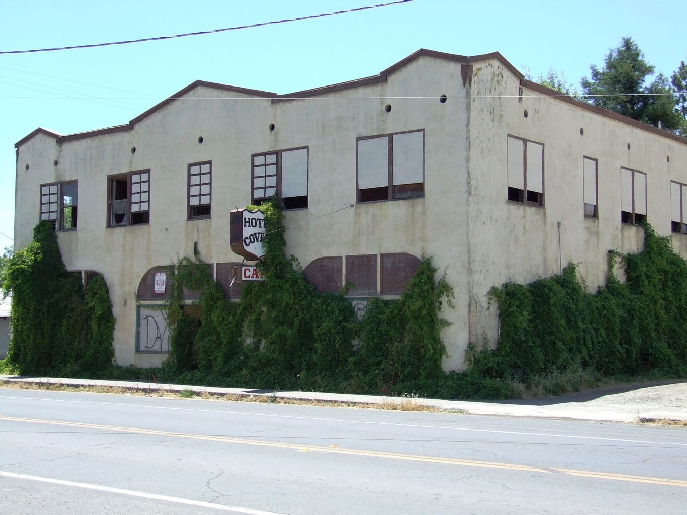
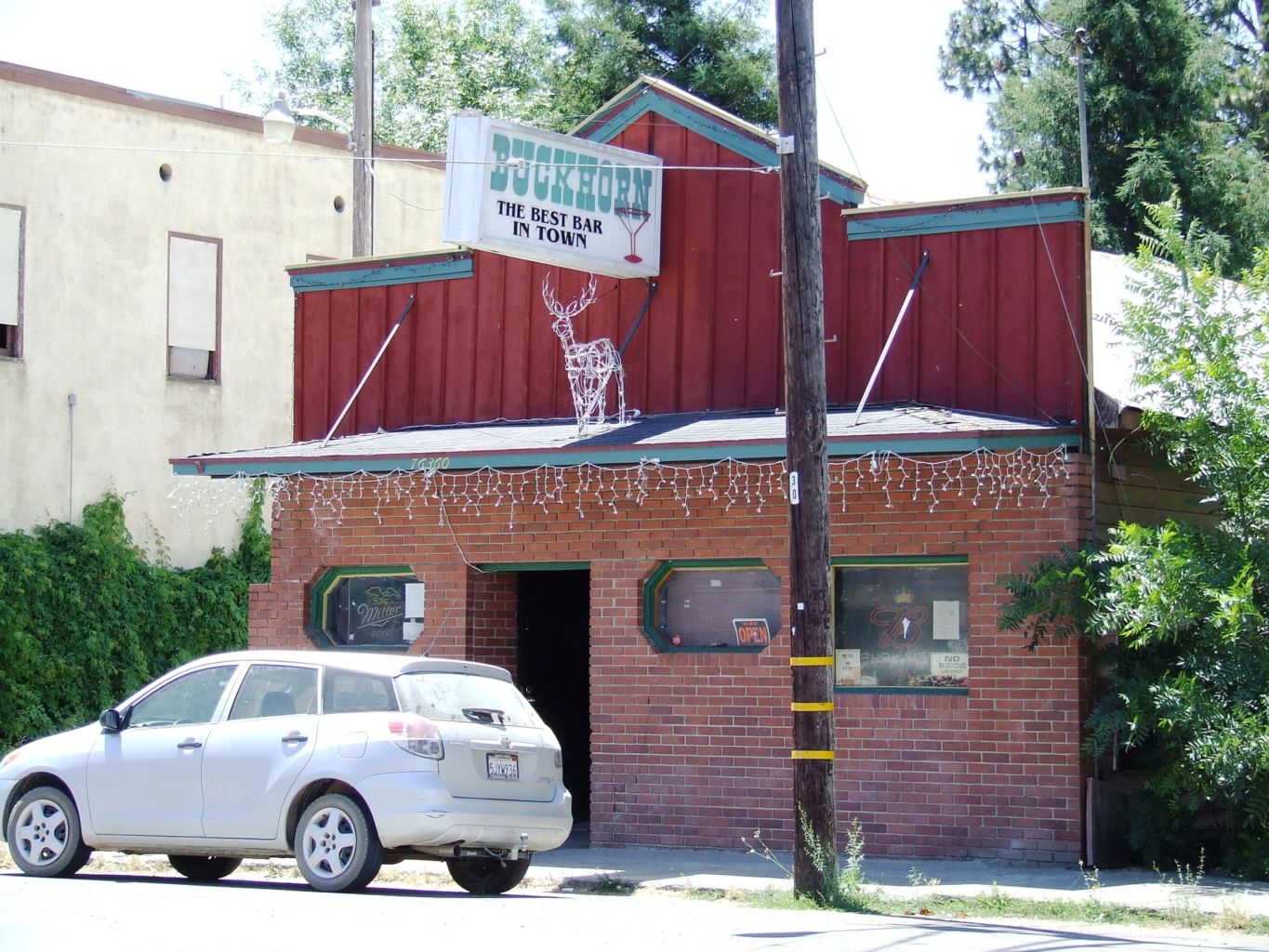
I understand the truck was new and I guess we couldn’t get enough of it, because apparently, according to the pictures, we headed out Highway 162 to Covelo. Now, I could write a hefty book on my experiences in Covelo as I worked and played hard there for several seasons while I worked for the Forest Service. I met Marty and Gabe there; I “dated” several of the local lasses; I split my head open diving into the river on submerged rocks; I rolled the truck with Marty and Heidi; I made many friends like Crazy Larry, Galen Azbil; I discovered Schaefer beer; I had sex in the cemetery. It was the time of my life, and so I wanted to tell some of my stories to Kristen.
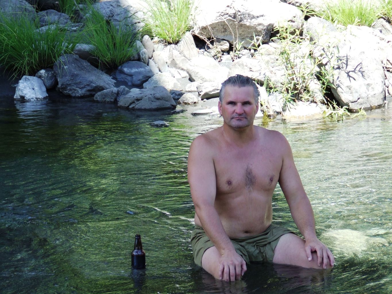
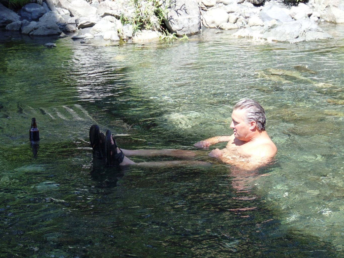
We had time to take a dip in Black Butte River near Eel River Station where I lived with Heidi one season. I assume there was some morbid curiosity as well, because I wanted to find the rock where I left part of my skull. Alas, the bridge had been rebuilt so everything was different and I couldn’t exactly tell what was what. Being there still made my skin crawl a little and a shiver ran up my spine. It is certainly one of the many times, but one of the most significant times “someone had me by the hand” as my mom always used to say.
The girl I was with went across the river to pee, so I was alone and took the opportunity to dive, as I always did, into the river. I hated jumping as water always went up my nose. This was another of my beautiful, graceful dives with fingers stretched and pointed in front of me and toes extended and feet together behind. Charlie Sava would have been proud of me. In a split instant, as my forehead splashed into the water, it bashed onto bedrock, the point of the rock splitting a fairly symmetrical “X” smack dab in the middle of my forehead.

I am sure I was stunned for a minute. I don’t remember losing consciousness (but does anyone?). I recall getting my legs under me and opening my eyes to see nothing but bloody water. I knew I was hurt bad, but didn’t want to move my head or look up, just letting the water and blood mix on my face and spill into the river current. I called out to my friend, but she was too far away to hear me, so I just had to wait. When she got to the river’s edge, she could see the blood and panicked. I had to get her to calm down and reassure her I was alright, but I needed her help to get something on my head and to get out of the water.

She got me up the hill to my truck and drove me to the Indian health clinic. The technician there said I need to go to the hospital so she had to drive me all the way to Willits, blood soaking everything I put up to and around me head, as head wounds do. Once there, they wanted to stitch me up, but I guess they needed my mom’s permission, so they had to call her, or maybe I called her, I don’t recall. But that poor girl stayed with me, in her tiny jean shorts and swim suit, still wet from our fun day at the river. Now we were at the hospital getting my face put back together.
My mom came all the way up from San Francisco before I was released from the hospital. I assume I had another concussion (at least 6 verified ones) so, she followed us back to Covelo. I remember at some point me and my mom going to the girl’s parents house (I wish I could remember her name) and having the best blackberry pie ever. We thanked her and her family for helping me and taking good care of me. I don’t recall seeing her again, and that is unfortunate.
I should have died for sure. I should have at least been paralyzed with a broken neck. I didn’t scrape my hands or my chest or any other part of my body on rocks, just took all the force of the 10 feet or so of dive onto a pointy rock with my forehead, without anyone around. I would have been down at the confluence with the Eel River by the time she came back. I don’t know how that all works; if it is Tim, Paul, an uncle, or the river spirit that kept me conscious, but they did good work. We raised a toast at the spot, thanked all involved, and headed back up Forest Highway 7 to Mendocino Pass.
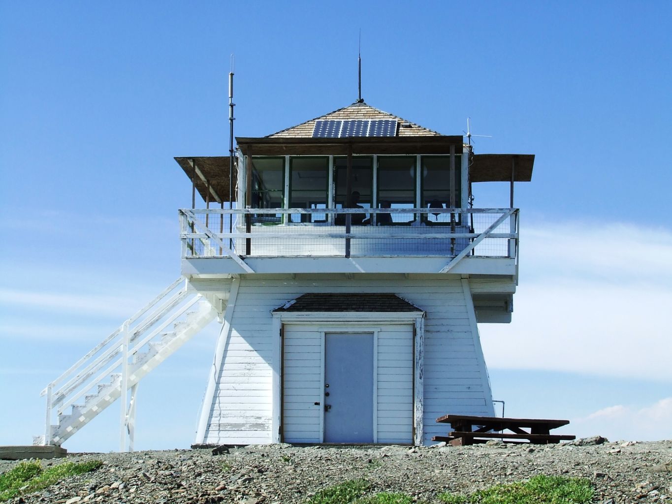
I used to know all this country very well. After 3 seasons working out of Covelo, I worked 2 more out of the East side of the Forest from Stonyford. Marty and Gabe worked here the entire time too and we continued to grow into very good friends. We all went to HSU together and Gabe and I started living together at school; first in the hot tub house off Alliance Road, and then at the Blue House in McKinleyville. Gabe and I were partying at Marty’s house when I met Ingrid and her friend Elita, who turned out to be roommates with the girl Marty invited over to bone. Marty has served me up more than once.
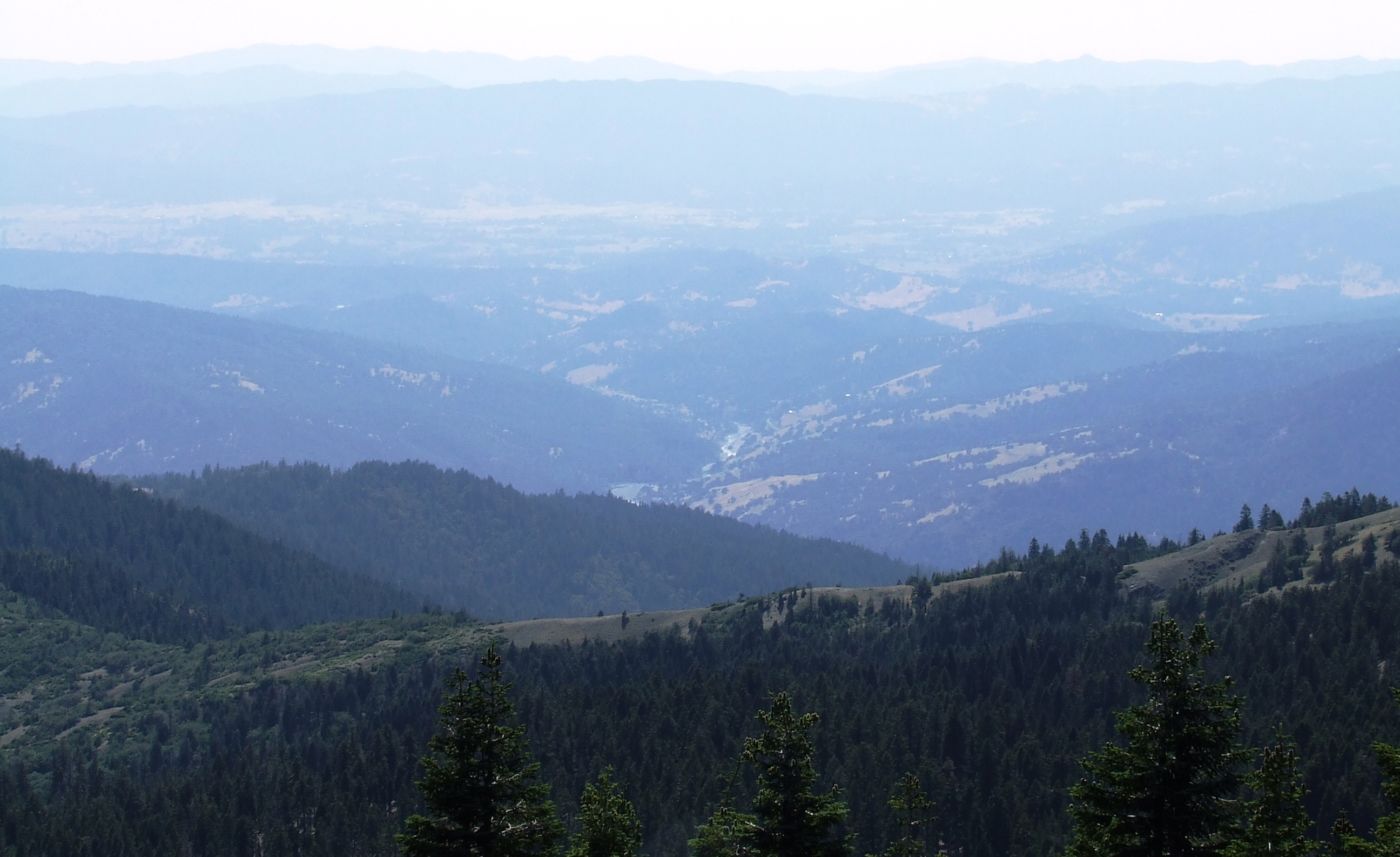
Finally we got back to I-5 at Willows, and resisted the temptation to go another route home. It had been a great break-in tune-up trip for the truck; one of many more to come.
Find this Spot
Sinkyone Wilderness (Lost Coast) Photo Gallery