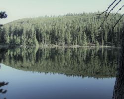
Lindsey Lake, Tahoe National Forest
Trip Date: May 17, 2013
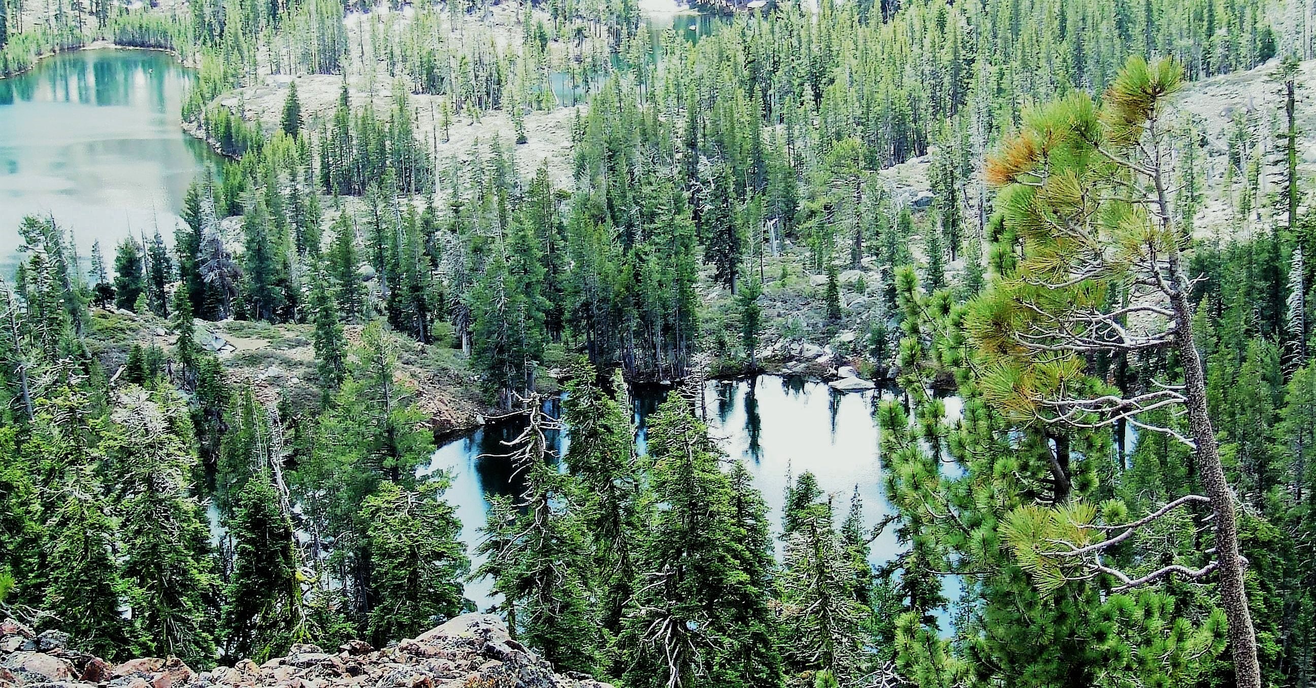
My wife Kristen and I headed out of town last weekend to try to get to a lakeside spot in the Grouse Lakes Basin area of the Tahoe National Forest. This area is North of Interstate 80 above Emigrant Gap where Highway 20 comes in and then North on Bowman Lakes Road. Door to door, it was less than three hours from Carmichael and there are dozens of lakes in the “basin”, some of which you can drive to. The rest require a hike, although the section of trail we were on was very easy walking and we passed at least 7 different lakes in about a two mile stretch. It is a fantastic area to hike and backpack for spectacular scenery within short distances of easy hiking from the trailheads.
From Sacramento, we shot up I-80, turned West on Highway 20 for 3.5 miles, then north on Bowman Lakes Road. In just a minute, you come to the Bear River Nature Area. There is a nice little interpretive kiosk, picnic area and nature trail. The Bear is a small creek, but very pleasant for toe dipping and listening to the mellow gurgle of the water as it passes through a mixed conifer forest at about 4800’ elevation. Just past the picnic area, you drop steeply into the South Yuba River gorge and then quickly climb up the other side. The area right around the bridge is a very popular swimming area.
 Bowman Lakes Road, Forest Road 18, is paved for about the first 8 miles, until just past the turn-off to Lindsey and Carr/Feeley Lakes on Forest Road 17. Road 17 heading to Lindsey, Carr, and Feeley Lakes, is a pretty good dirt road. In two miles, you come to a fork; to the left, Lindsey Lake is another two miles. There are some steep, gravelly stretches of road, particularly just as you get to the lakeside campground that I would not drive on unless I had four wheel drive (just in case). The road certainly is doable in a truck or high clearance rig when the weather is good and there are no unexpected situations; however, I wouldn’t chance it. The Lindsey Lake Campground is a US Forest Service campground with about a dozen sites stretched out along the Lake. The campground is set in dense Red Fir at about 6200’. The sites are not on top of each other, but there isn’t a lot of privacy either. There is one outhouse and water, and each site has a table and fire ring. The fee is $15 per night per space.
The road goes through the campground and then is gated. Forest Service, PG&E, and private landowners have keys to the gate and can pass through. Otherwise, this serves as a trailhead to hike into the Grouse Lakes basin area.
I had no intention of staying at the campground as I try to avoid people at all costs, but I did want to check it out. Ideally, we would find a spot above the lake with a view, but that was not a choice in this area. We turned around and headed back the two miles to the “Y”, and this time took the other fork, heading two miles East to Carr and Feeley Lakes. These two lakes are literally a stone’s throw from each other so they are often listed on maps and such together. We drove to the end of this road which was a trailhead parking area, but we did not see a sign or any indication we were at the lakes, near the lakes, or where they was in relation to where we was. I was cornfused.
 We turned around and drove back to the only side road that seemed like it could have been a turn to the lakes we missed, maybe a quarter of a mile back from the end of the road/trailhead. We took this fork off to the right and headed up a pretty good dirt road – at least as good as the road we had just gone up to the trailhead parking lot. Thinking positively, we continued on a few minutes passing smaller, less traveled/maintained roads left and right. There were many trees “marked” with blue paint marking timber sale unit boundaries or “take” trees – trees that were to be cut down in the timber harvest plan. At the top of the hill, the road split yet again, left, right, middle. The middle track seemed most prominent, so straight ahead we went; and then down, down, down, down, down…get the picture? The only things that interrupted our 40 degree descent were the massive berms that help slow/prevent erosion from water streaming along the roadside. These may be a foot or so deep forming a trench and then the material excavated to make the trench is piled up on the downhill side to make a lip which is also about a foot high, so as you drive over these dips and lips, it can be rough going.
Rather than erosion control, if the intent is to block traffic, a bigger berm is needed and a bulldozer will make a rampart that can often be three feet deep and three feet tall on the backside. This road got enough use that the lips had been compacted and much of that material filled in the trenches – still adequate to move water off the road, but not so rough on the suspension. Still, I used my four-wheel-drive because I had it and because it does help with traction, especially with the steep grade, but I wouldn’t say I “needed” it. I would not have gone down this road unless I had it though, just in case.
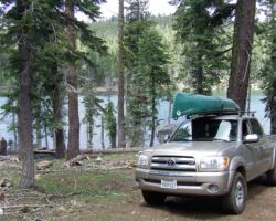
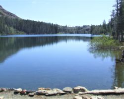
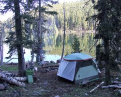
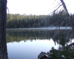
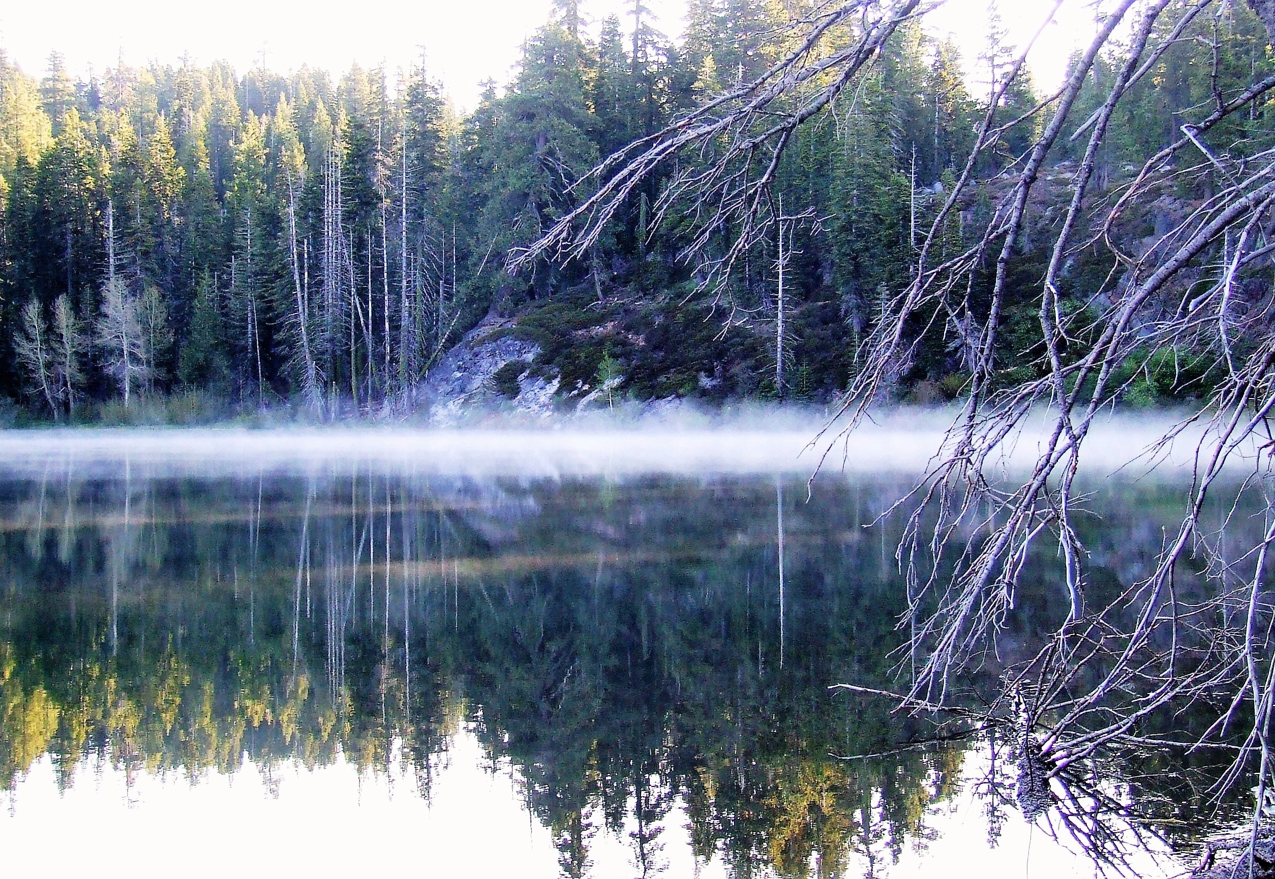
 We switch-backed our way on down the mountainside until we finally came to the lake at the bottom – not the bottom of the lake. Not a soul was in sight and it was very peaceful and still. There was no campground (thank god) but we came upon a nice camp spot alongside the lake shortly after the road leveled out. There was another large open site about 200 yards further down the road, pretty much at the end of the road, but to get there you had to go up another very steep stretch of loose rocky road. All in all, we liked the first spot better, so we backed in and scouted about. In the fifty feet or so from parked truck down to water’s edge, you dropped maybe 20 feet in elevation, but there were three plateaus in the site – one good spot for the tent about half way down to the water, a second level spot that had a fire ring, and then another large fire ring at water’s edge. After a celebratory beverage, we unloaded the truck and kind of had things distributed to the appropriate levels and somewhat organized.
 After getting the tent set up and the middle flat area established as the cooking area with the tables, water, lights, etc., we set up the chairs around the lower fire ring as that would serve as the sacrificial fire, I mean the warming fire. We dragged one of the garbage cans of wood down to this lakeside vista and laid out a big after-dinner fire. Pretty soon we were done and it was time for a beverage and to relax a bit. I am not super good at relaxing so in a short time, I accidentally woke up my wife and we decided to walk along our side of the lake and across the man-made dam at the far end to check out the other side. We could hear faint voices across the water so we knew there were people, probably fishing, hiking, or possibly like us, having set up a primitive camp site. We assumed we were at Carr Lake, but we still were not sure. So off we went with a beverage in hand excited to get our bearings and find out where we were. We stopped and talked to a fisherman on the dam that had a pretty good heat-on. He denied drinking all the Bud cans that were crumpled around his chair, but once we told him he had fallen in our esteem, he quickly admitted the feat, as if we couldn’t tell by his “glow” and slight wobble.
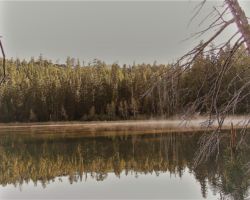
Across the rest of the cement dam,  over the metal bridge to terra firma, I began to get a funny feeling; something was happening. Were some of my other lives seeping into my present? Had I been here before? Was this my house; was this my wife; how did I get here? I started to think we were back at Lindsey Lake – but how could that be? As we got to the road and walked up to the campground sign, sure enough, we were back to the first place we had driven. We had just come in a big loop and ended up camped on the other side of Lindsey Lake. Oh well, that is what exploring is all about. After a good laugh, and now having some bearings on where we were and how we got here, we headed back to our spot. After crossing the dam, we followed a little path along the water’s edge through the trees and riparian vegetation; enjoying the sparkle of the water from the sun’s rays.
Pretty soon it was time to start cooking. The day was cool and breezy – not quite windy – but off and on and every once in a while we would have a pretty strong gust. It was great to have two fire rings, as I often keep a fire going alongside the grill- kind of splitting the fire ring into two sectors, but this sometimes impedes the cooking and/or the cooks. With two separate fire pits only a few feet away from each other, I could have a nice warming fire without worrying about it messing with the food or me while I was trying to cook. We had boneless skinless chicken breast, corn on the cobb, and Pesto pasta. It was great to have the big fire already going to keep us warm while we ate and finished our evening cocktails after dinner.
I was exhausted from the drive, exploring, and way too much thinking, so I was off to bed pretty early, as is often the case.
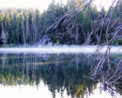
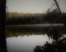
 The tent was real warm and the night a perfect cool/cold temperature to get all bundled up and sleep well. I didn’t even get up to pee, which is very unusual for a young man of my age. I was up early as I almost always am and watched the sunlight slide down the mountain side across the lake, then flow across the lake top, then finally spread out over our site. It was wonderful to finally feel the warmth of the sun after watching it for so long come down the mountain and cross the water ever so slowly. It was a long time coming, and despite my failure at making it hurry up, it was definitely worth the wait.
 I had sort of thought of not getting back in the car on this middle day and instead spend it hiking some of the trails to some of the lakes in the Grouse Ridge Basin. But, I was antsy to find the stupid Carr/Feeley Lakes that we somehow couldn’t find the day before. I couldn’t wait until the following day on our way out to find them, as I knew by then, we would be thinking of being home and if we had trouble finding the lakes, it would not be fun. We would be torn between continuing the search until successful, and getting home at a reasonable hour. So off we drove, up, up, up, up, and over all of the dips and bumps to the top of the Red Fir mountaintop. We retraced our path from the day before; back to Forest Road 17, turn left, then back up the hill to the trailhead parking lot.
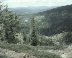
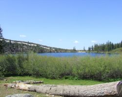
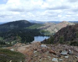
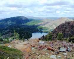
 Still no sign – no glowing neon lights to tell us knuckleheads “you’re here stupid.” We first walked beyond the parking lot, past a gate blocking the rest of the road we drove in on. After a few minutes walking, we left the road and followed a trail up and over a little ridge to our left, and lo and behold, a beautiful lake right in front of us. On top of this little ridge was a great camp spot in the middle of the Manzanita with a great view of the lake and total privacy – no other spots around and far away from the parking lot. It was an easy 10 minute walk from the parking lot and you could easily bring a wheel barrow or wagon or use small children to carry your gear beyond the gate. We followed a small path through the brush to a small concrete dam that held back the lake and added a few gallons to the natural capacity of the depression. The small dam begged to be crossed, so over we went and up the hill and suddenly we were treated to an outstanding 180 degree view of the Bear and South Yuba drainages, with Highway 20 and I-80 off in the distance. Far to the South, we guessed we were looking at Carson Pass off Highway 88/89 and Mormon Emigrant Road area bisecting the El Dorado National Forest from Highway 50 in Pollock Pines to Highway 88 just shy of Silver Lake. Mountain peaks East and West emphasized the fact we were truly well up into the Sierra’s. This was definitely a spot worth coming back to.
 Assured we were at a lake, but still not knowing which one, we went back to the truck and loaded up our day packs for our hike, still somewhat incredulous at not seeing the lake the day before despite being at this exact spot. There were perhaps six other vehicles in the parking area, and one other group of eight or so people gearing up at the same time we were. We decided to have a beverage while we let them get out ahead of us a bit so we could have some sense of being in nature. With a break in the activity of peoples heading down the trail, we headed out ourselves, rounded the corner, and boom like that! A massive sign with numerous rules and regulations regarding Carr Lake campground. Despite feeling a bit like Christopher Columbus, one of the more bumbling explorers yet somehow receiving most of the fame, we had arrived. So, it turns out you cannot drive to the campground, or the lake technically, as I had been told. The road to the campground is now gated (a different gate from the one at the far end we walked past) and you have to walk to the dozen or so campsites spread out along the lake. Four sites are grouped together at the very beginning of the road, just above the parking lot and sign. Then there is a group of four or five sites at the far end of the lake grouped around the lone outhouse.
 I can’t see why anyone would stay in these sites, other than maybe for the table (that not all sites had) or if you wanted to be around people (for whatever reason). There are plenty of camp spots you could actually drive to that would not be along the main trail, where you wouldn’t be seen by every person walking by, but that still had great views of the lakes and/or surrounding mountains. I guess it’s a personal preference. In any event, we walked the trail formerly known as the campground road that brought us to the far end of Carr and literally to the base of the dam of Feeley (and the outhouse near the last group of sites at Carr).
 At this point, we picked up a regular hiking trail along the edge of Feeley Lake that is very flat and easy walking. The trail brought us up a very gentle and short rise and then alongside lake after lake after lake. This is spectacular country and the hiking/walking could not have been any easier. We passed maybe twenty people and 10 dogs (because this is not designated wilderness area, dogs are allowed – although they are supposed to be on leashes – which are supposed to be attached to a responsible human being). Although there were a lot of people (relatively a lot for a person who prefers no people), it is a massive area and the human presence quickly disperses along different trails, and off trail to far corners of the various lakes and creeks and vantage points, so you definitely feel like you have the place to yourself most of the time.
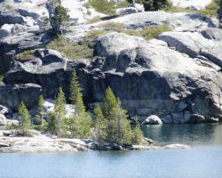
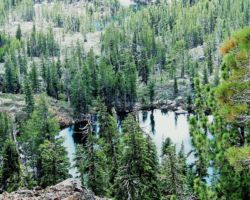
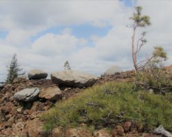
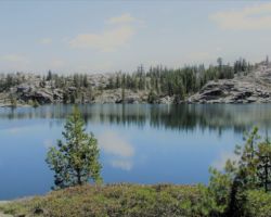
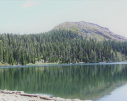
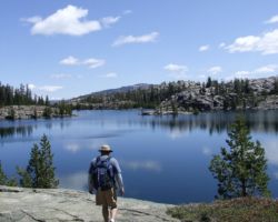
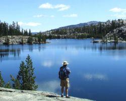
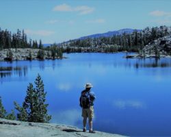
We walked about two miles and passed 6 lakes. As you get further East on the trail, you leave the Red Fir forest and get into that classic Sierra granite landscape. High Sierra lakes surrounded by granite, many with small islands, and a few trees along the shoreline, often in clusters that make for great campsites. My guess would be that half the people we passed were geared up for backpacking and the other half were day trippers. Everyone, including the doggies, were well-behaved, as most I think, were in a sort of natural beauty trance brought on from being in such awesome landscapes.
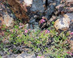
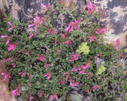
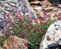
 We stopped for a snack on a solid granite ledge, about twenty feet above Island Lake, with a view of several…wait, wait , wait for it…islands, many inlets, and the ever glistening, infinite tones of blue. The trail was muddy in spots, with small rivulets of water streaming down the trail from the final vestiges of snow patches surviving for a few more days in the deep shadows. There were some wildflowers, great boulders, and rich riparian zones around the lakes and alongside the connecting streams that “chain” them together. But my eye was usually stretching outward, searching the ridges that divided the lake basins, searching for the next lake, trying to define islands from granite ledges stretching out into the depths; up to the precariously perched lookout on top of Grouse Ridge; up to the flag on top of Fall Creek Mountain – a sort of center piece of one of the loops of lakes that form a liquid apron around its base.
 Since the “hike” was so short and easy, I wanted to scramble up the side of Fall Creek Mountain to get a better view and add a little adventure. This too was pretty easy going other than carefully picking our way through the low lying Manzanita and loose rock. Up top, you really could see the ring of lakes on all sides – Carr, Feeley, Hidden, Island, Long, Crooked, Middle, Penner, Culbertson, Lindsey – almost a complete circle around Fall Creek Mountain. The views of the scattered trees and granite ridges and table tops dotted with lakes and meadows were better than what you see in most shopping malls. This is what people should be spending their hours staring at.
The hike was perfectly easy, the views better than imagined, so much great country so close to home and accessible. We found everything I had hoped to see, I had my bearings (not all but some), and now we were headed back to our lakeside camp. I was a tad worried about possibly being “discovered” on our side of the lake or having neighbors, but luckily no one had moved in. Shortly after getting back to the site, two quad-runners drove by, riding up and over the steep hill beyond our spot. Fortunately, they came right back, past us, around the bend, and back on up the road, quickly out of sight, out of sound, out of mind. Three hikers also came down the road, but again, just cruised by and disappeared. I assumed we would see them return from whence they came, wherever that was, but I didn’t see them again, which was alright for all involved.
 The hazards of camping in a campground were apparent all of Saturday. I do not know how many quads and motorcycles were over there but it sounded like a Harley convention. It was very loud a lot of the time. Just when it quieted down and you started to relax a bit, another one would rev up or rev down the road. Like most Harleys, the point seems to be to make as much noise as possible. The dog was barking, people were yelling (not necessarily angrily, but we could hear them across the lake nonetheless). If I had occupied a site over there expecting to stay, I would have left long ago. It would not have been relaxing or enjoyable in the least. Sounds definitely do travel across open bodies of water, but all I wanted to hear were the sounds we made preparing food or another cocktail, the crackling of the fire or the rustling of the tent. Is that selfish – I think not! Can’t a feller get some peace and quiet even if he takes the time and makes the effort to drive way out in the woods specifically trying to avoid people? I mean, come on.
 The noise from across the lake died down shortly after dinner – rather earlier than I was prepared for quite frankly. The evening temperatures were again pretty cool and the wind was still present, but we had a very pleasant evening around the fire. As usual, it was early to bed and early to rise. The quads wasted no time cranking it up in the morning, like they had to ride out to a store for coffee or breakfast or whatever they needed. We wanted to get home early so we packed up and left. On our way home, we stopped at the Edelweiss Café in Auburn – Home of the Super Omelet – for one of the best meals I have had in a long time. Super nice people, great atmosphere, great service, and great food. It was a great end to a great trip of exploring, hiking, eating, drinking, fires, and adventure.
Find this Spot
