Fiske Creek Road, Bureau of Land Management
Trip Date: February 16, 2018
So many trips are on the verge of not happening for me, for everyone, for weather, for family, for a myriad of reasons. This one was on the fence because a friend of ours, a guy we had worked with, camped, and partied with over the past 30 years or so has been fighting brain cancer. It seems he has beaten it back on several occasions, but it is back again.
He has retired from work and a gathering was planned for him which was to be either Thursday or Friday evening. It turned out a group of us gathered with Jeff at the Track 7 brewery on Thursday night. It was a great gathering; some old faces and some new ones, and many smiles and laughs. Much talk of the future and getting together more often.
I had not done a very good job of packing and preparing ahead of time, especially with the food. And of course, with Kristen being on this damn diet of frozen paper and waste products that take up every inch of the freezer, I have no room to make my ice bottles. It has to stop I tell you. I brought Steve to Jeff’s gathering with much of my gear strewn in the back seat, but I had to spend a fair amount of time Friday morning grabbing leftovers from Valentine’s Day, cube ice in baggies, and whatever else I could put my hand on.
At Steve’s, I did some organizing, double checking and inventory, and felt like I could get by for one night on the ton of gear I had. I felt a little bad about not wanting to go meet Tom and Bill at Bill’s house, especially since it was literally on the way to highway 128 into Winters, but there just wasn’t a reason to, and besides, I just wanted to get out into some nice country. So we decided Thursday night, we would meet somewhere past the dam, or beyond the far end of Lake Berryessa.
 We stopped at a BLM day use area, had a beverage, and walked down to the lake to see what we could see. Sure enough, we found some driftwood that would look great at the pond. Bill and Tom arrived shortly, despite not receiving the kind of assurances from us that we had crossed over 2 bridges and were still in front of them. Steve and I must have been chatting it up or just tripping on the scenery because I don’t recall if we crossed bridges or just elevated road above wetlands, or if it was a causeway, or jetty, or land bridge or how many there may have been. I believe Bill still suffers from the ridiculousness of Ken and Dave not finding us at the end of the road despite their best efforts, and so he puts a bit more energy into directions and meeting locations. I on the other hand, rely on years of luck and outrageousness to make sure the boys are united in the end. When Bill and Tom arrived, they too received a rock or a log to put in the rig for later use.
We were headed to an area 10 or so miles down the road called Knoxville. What was a mercury mine, town, and small community is now a just an OHV area for motorcycles and such to continue to thrash the area. The remains of the town and the mine were bulldozed and buried in a cleanup effort in 1984; however, a massive pond/lake lies above the road out of sight except from aerial imaging as an unnatural blue green colored body of poisonous liquid. For anyone wanting detailed information about the mining activity of this area, and firsthand accounts, you may enjoy this document.
Once we got out to the old site of Knoxville, we had a decision to make. To the West of the road was the official Knoxville OHV area with miles of road which had yet been explored in our ongoing quest for winter camping grounds. Ken, Kier, and I had driven through way back when, and although we did not camp, we found some great views up top of the hills looking further West and North west . We did notice that the wide spots and open areas clear of the dense brush were few and far between, but I was certain that with some exploring, we would find a few good spots.
 In the other corner was the road that used to go through to Highway 16 that also goes through a big chunk of BLM land. I had seen this area and this road in particular on maps and googly earth, and Ken and I had at last found where the road comes out on Highway 16 at Cache Creek Canyon Regional Park. There is actually a street sign for Road 40, but the chain across the road blocks vehicle traffic from this end for unknown reasons.
Since finding that end of the road, I have wanted to try to find the other end, which I later learned came off Knoxville Road near the OHV Park. Prior to coming on this trip, I did some extensive googly earth research and printed off a number of images in the OHV area and along this side of Road 40 (or Reiff Canyon as it appears on some maps). Given the choice by the boys, I chose Road 40.
The BLM map was almost worthless as it looked like a spaghetti plate of tiny squiggly lines, making it very tough to discern light brown topo lines from light red roads; however, the images I printed off googly were helpful, and having spent so much time looking on line before we left, I had a pretty good idea of where we needed to go. I was not confident in the condition of the road we would find, but I was pretty sure I could find it. Fortunately, the first few possible routes that were clearly visible from googly, were also clearly gated. This was disappointing because I would have loved to get up to the massive pond that I assume is the old open pit mine filled in with debris and water. I’m sure all life below it is enjoying the seepage and leakage and overflow.
 The most likely access onto Road 40 was a few miles beyond Knoxville toward Morgan Valley, just past the turn off to the Homestake Mining Operation, which is now part of the UC Davis McLaughlin Reserve. The intersection was obvious, the gate open, and the road in good shape. This last part changed rapidly and radically. Through beautiful Bosch Canyon and some sweet homesteads, past remnants, equipment, buses, and other assortment of history from the Manhattan mine, owned and operated by
William Wilder until 1981. Once we climbed out of the verdant valley, things changed.
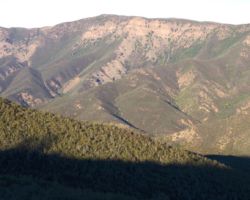
Up top, the road became rock. It was beautiful orange, red, and white, a rock hounds heaven and a place I may have to return, but dropping into Davis creek, the road narrowed to one narrow lane, with significant slides, erosion and numerous sharp turns. The options to turn around were few, so progress forward just had to be steady and slow. Eventually we got to the bottom where Davis Creek enters Davis Reservoir. I noticed this spot as the intersection of one of the maze of roads off Knoxville road that encircled the mine pond up above, that eventually came to this spot, but on googly, I could see a dark line across the road, an indication of a gate or a log or something that, if we could have found our way through all that, may still have prevented us from getting onto Road 40 at this point.
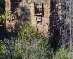
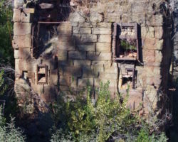
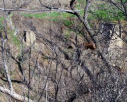
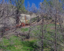
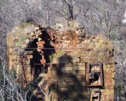
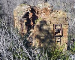
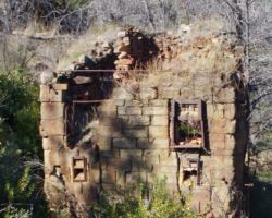
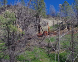
There was a wide spot at the intersection and we took the chance to stop, stretch, unwind, and look about. We found a very cool two or three story square cement block/stone structure below the road on the hillside. It had massive steel threaded rods and nuts on the end projecting a foot or so beyond the walls on each corner. High above the creek on the opposite hill, was a large ruin of something, mine, mill, god knows what. It was huge and rusty and lots of steel was still lying about, but it was high up on the hill. It is only at this minute as I write this that the thought occurs to me that I may have pulled out my binoculars for a better look. Oh well. It was fun to guess and imagine.
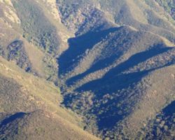
It was great to relieve my grip on the steering wheel, stretch and relax a bit. The Davis Reservoir was large and picturesque, also a calming influence. I assume it is a poison pond because of the effluent from the mine pond that sits directly above it, but it looked pretty at the surface. I was soon glad for the chance for a little break as the road ahead made the first up and down look child safe. This climb was narrower, steeper, rougher, and with the clear view above the brush of the canyon bottom far below, far far scarier.
Steve and I considered stopping several times, but for what. We were in too deep. It was probably 3;00 or so by now, and if we went back to Knoxville, that would be an hour plus and then we would still be looking for a spot in an unknown area. Plus, the thought of trying to turn around and then pass Bill was not sitting well. It seemed all I could do was grip, stare intensely, and proceed with caution (no need to look left and looking right was terrifying).
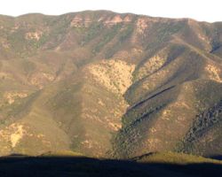
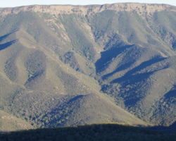
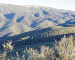
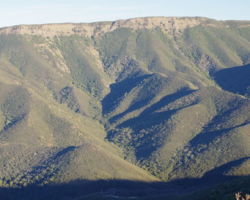
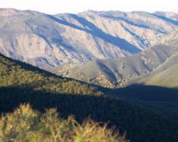
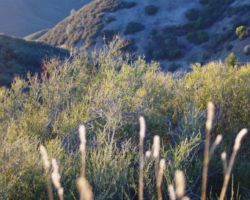
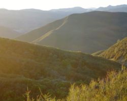
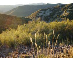
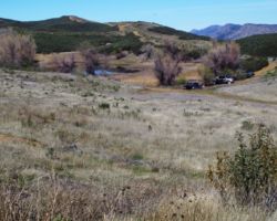
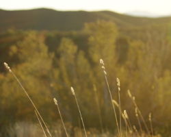
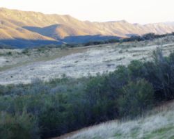
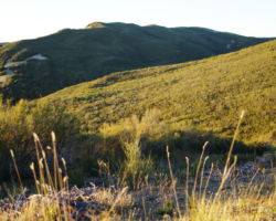
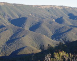
 We stayed on the road, rubber side down, and we did make it to the ridge. There was and had been nothing but brush in this area, so the views were great. It was a tad breezy, but sunny and warm out of the breeze. There was a wide spot right at the intersection of the North-South Ridge Road – Fiske Creek (at no point does this road get to any creek, so why it bears that name is beyond me. It should be named if you got up here to this ridge – congratulations! – good luck getting down Rd.). I know that is too long a name for a road but it is fitting.
I unwound a lot up top. We had made it. This ridge top road was a wide and reasonably inclined road of clay, so heading North or South, I was good. I got my confidence back that we would find a good spot, maybe not one worthy of the effort to get in, but a good camp spot for the night. I got out the printed googly images and showed the boys the closest options to potential sites I could see/imagine. I suggested we try a mile or so south to what appeared to be a pond/small lake. If not that another mile or 2, looked like at least a wide spot.
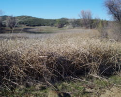
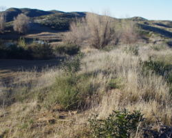
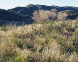
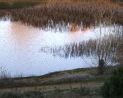
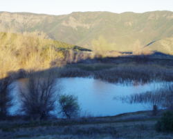
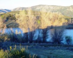
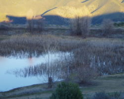
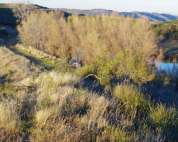
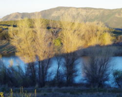
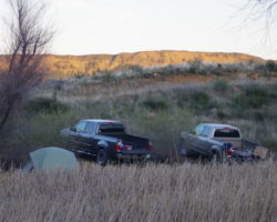
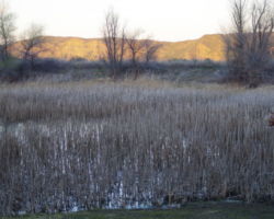
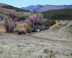
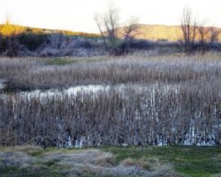
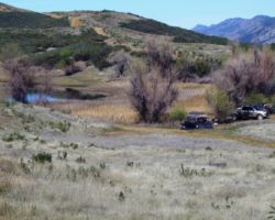
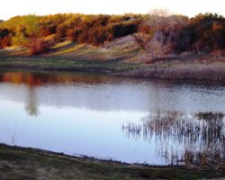
As we neared the pond, we saw some trees and I noted it would be great if we could get into them as they were so rare out here. Sure enough we went right to it; a great bowl below the road, protected from the wind, with trees, a small lake, grasses, reeds, and tons of birdies. This was a sweet spot, so good in fact it challenged to be worth the drive up here. Good luck getting down…
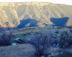
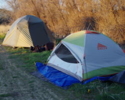
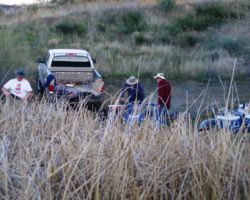
We circled the lake and decided on the far end. It was a huge relief, and we had plenty of time to unload, set up, relax, and get on with it. There was much rejoicing. For reasons unknown to me, and better left unimagined, Tom and Steve hauled their tents and sleeping paraphernalia back to the far end of the lake and set up abnormally close to each other. Bill and I set up near camp. It may be one of the only times I have slept on reeds, sedges, and rushes. I couldn’t exactly tell where the water’s edge was, but I was close. It was a sweet spot, although a tad close to the camp.
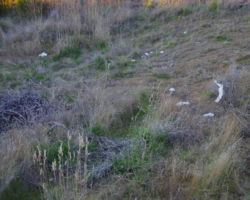
 I must digress here for a post writing rant as I look through and place my photos in the story. Across the road from the lake was a place someone apparently used as their toilet. Toilet paper was strewn about and although it didn’t stink, it was a foul reminder of how stupid people can be and how irresponsible, negligent, careless, and rude people are. It is NOT OK to leave your shit and toilet paper all over the place – bury it or haul it out. It is NOT OK to leave your trash, litter, or garbage behind. Leave everywhere you go cleaner than when you came. It is NOT OK to leave your fucking bullet shells and casings on the ground. Clean up after yourself!
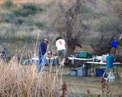
We were celebrating with Manhattan’s in no time. Tommy outdid himself yet again. We dug 2 fire pits in the soft soil; one for the fire and one for cooking. The wood I brought was rather small, so we drug over as much wood as we could find. Unfortunately it was all Willow and/or Cottonwood of almost no heat value. We got briquettes going, and had some stuffed mushrooms, brie, marinated salmon, rib eye, and shrimp pasta. Yes, we barely survived.
 Bill took to bartender school learning from Master Tom how to make the perfect Manhattan. Fortunately, the trials were plentiful and the waste was negligible. The fires raged and merged into one. The warm calm night was spectacular. The drivers pushed the limitations of celebration and decency, and were soon snoring side by side slumped in slumbering soundness.
The morning light was bright, the brain foggy and grey, the body ravaged by unspeakable actions. Coffee and water were miracle drugs. As soon as I could concentrate on one thought at a time, I was afearing the drive. But, we wanted to walk the ridge road a bit, and see what there was to see. I spotted quite a collection of very squared smooth, flat rocks along the road bed that Bill and I tossed to the road. I have been making a conscious effort not to gather more rocks without a specific purpose, but sometimes purpose can be found later. I have been enlarging my pond and as such, I also needed to enlarge my rock temple at the head of the pond. These were excellent temple building rocks.
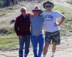
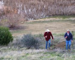
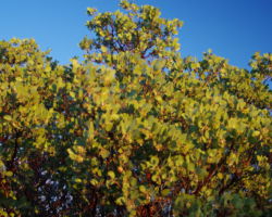
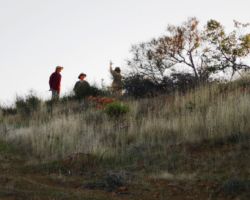
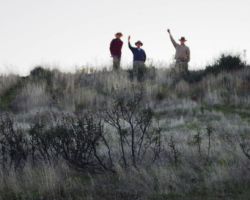
With mind clearing and body loosening up, we hiked up the road a mile or so. Bill and Tom spied some trees above the ridgeline in the distance; a beautiful silhouette of deciduous tree limbs against the intensely clear blue sky. We had gone “just one more bend” several times now and the time had come to face the drive back. It was a great hike to loosen up, clear out and refresh. Bill and Tom were staying a second night, so Steve and I packed up and loaded the rig in short order. I wished now that we had brought more wood, as the night before proved to be a higher fire risk than anticipated. However, there was plenty of brush along the road to gather and Bill and Tom are indeed resourceful.
 The boys helped us load the rock and Steve drug out some of the brush for them. I was good with leaving after one night as I was mid pond expansion and Steve had a dinner to get to, but I really was concerned about getting down that dam road. There were 2 spots in particular that seemed to have a hump on the inside track directly opposite an area of eroded road on the outside such that the truck watch being pitched over the edge at a point where the outside tires were bouncing over a notch where the water had carried the road away – far down to the creek below.
As we went back down Fiske Creed to the intersection of Road 40, we saw 3 motorcycles parked across our path, blocking the road and all the guys up Fiske creek on the other side of the intersection working on a 4th bike. They barely looked up and made no effort to come back to their bikes to get them out of the way. Maybe they were surprised to see us; maybe they thought they were bad-asses for being up here and then out comes a Tundra. Maybe they were just more motorcycle dicks.
We had to drive way out around them, drive up near were they were, back up, and then make a sharp turn to get back onto Road 40 for the dissent. A better man would have driven over at least 2 of those shiny new bikes fucking them up beyond repair, but we just went on down the road. Perhaps my anger at them smoothed out some rough spots, but it did not hide the spot that made diamonds out of fear. I probably gave it a bit much gas to get the rear tire over the abyss of missing road as we bounced off the next boulder in front of us, but we were over.
The rest of the road seemed less concerning on the way over. I didn’t even recognize the 2nd bad spot on the other stretch; none of them seemed as horrific as on our way in. I had to get Steve back to town by 6:00 at the latest so we were watching the clock. It took us an hour and a half to go 9 miles. It was intense and I was much relieved to reach the pavement of Morgan Valley Road. It would be a race though, as that took a lot longer than planned for.
We made time all the way back and took Highway 13 to I-80 rather than the country roads between Davis and the Causeway. I think we got to Steve’s about 5:30 and I was home by 6. I did nothing but get in the shower and enjoy a celebratory beverage. I may say this often, but that was one of the best trips ever; certainly in terms of the search for a spot, the difficulty of the trek in, the excellence of the camp spot, the weather, the food/beverage/fire/rock hounding – it was all outstanding. Another one night that seemed like a week.
I was concerned about Tom and Bill getting down the road the next day so I shot them a text about 2:00 or so. Tommy responded that they got rodgered and I assumed he was referring to the drive down. However, later we learned that the weather turned that afternoon bringing high winds at night and a frozen morning. The boys did take the time to drive out to the oak tree studded ridge we had seen before, but the morning was not one for sitting about relaxing. They had made the drive without incident and we had recorded yet another excellent camping trip.
Find this Spot


