Oregon Coast II
Trip Date: October 7, 2018

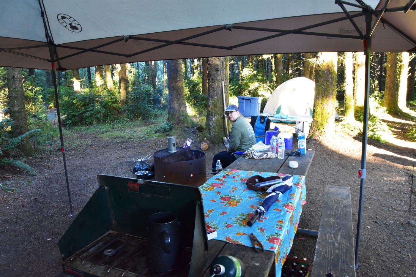
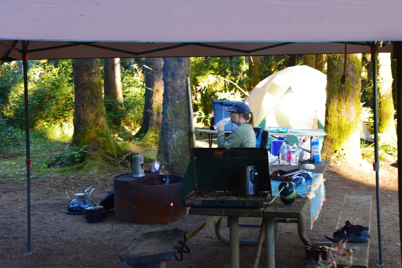
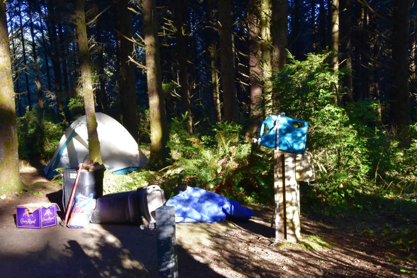
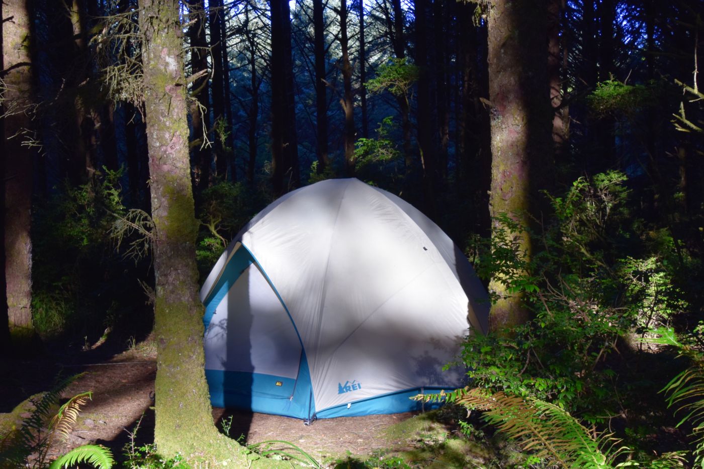
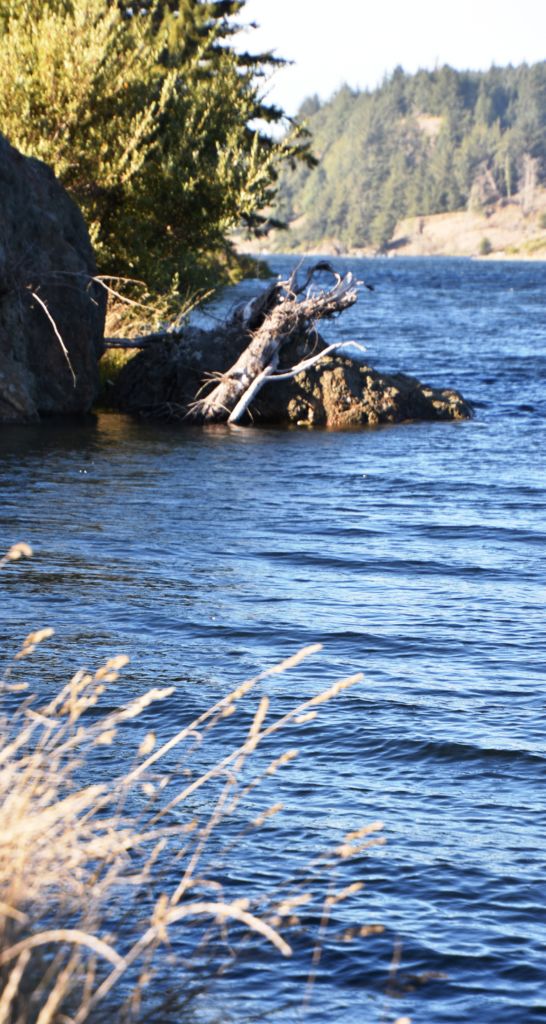
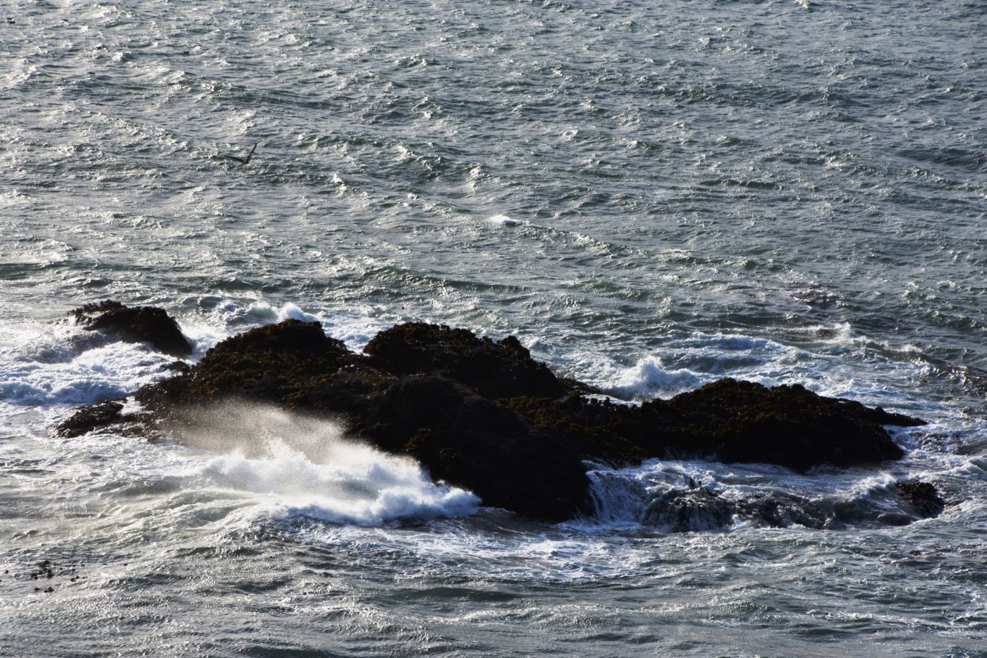
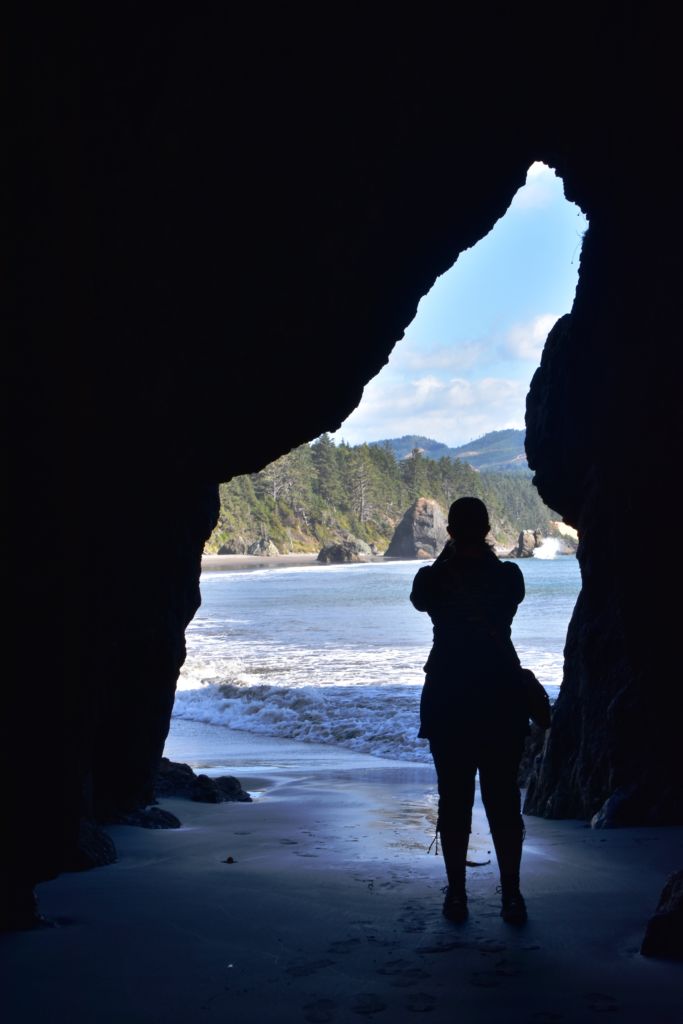
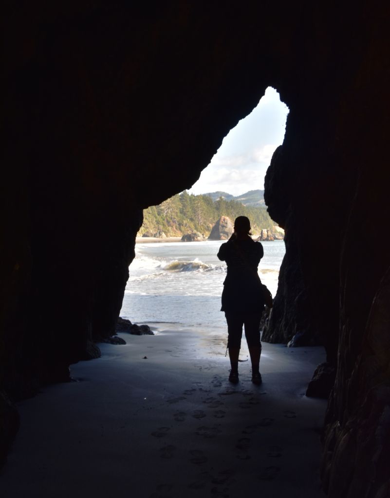
We pretty much rolled through Brookings and Gold Beach, although we had a momentary temptation to take Jerry’s Jet Boats up the Rogue. We stopped for groceries in Port Orford, but we were excited to get to our campsite at Cape Blanco State Park. As has been our experience with the Oregon State Parks, it was just as advertised, and despite the great weather, fairly scarcely occupied. We set up camp, then took a stroll out to the beach before we settled in for the night.
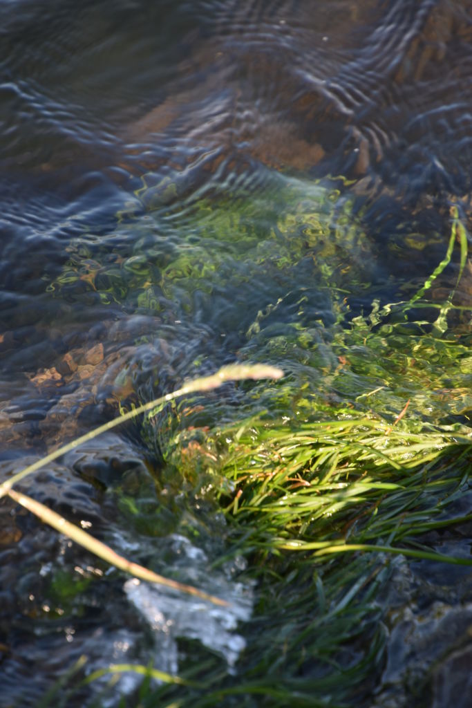
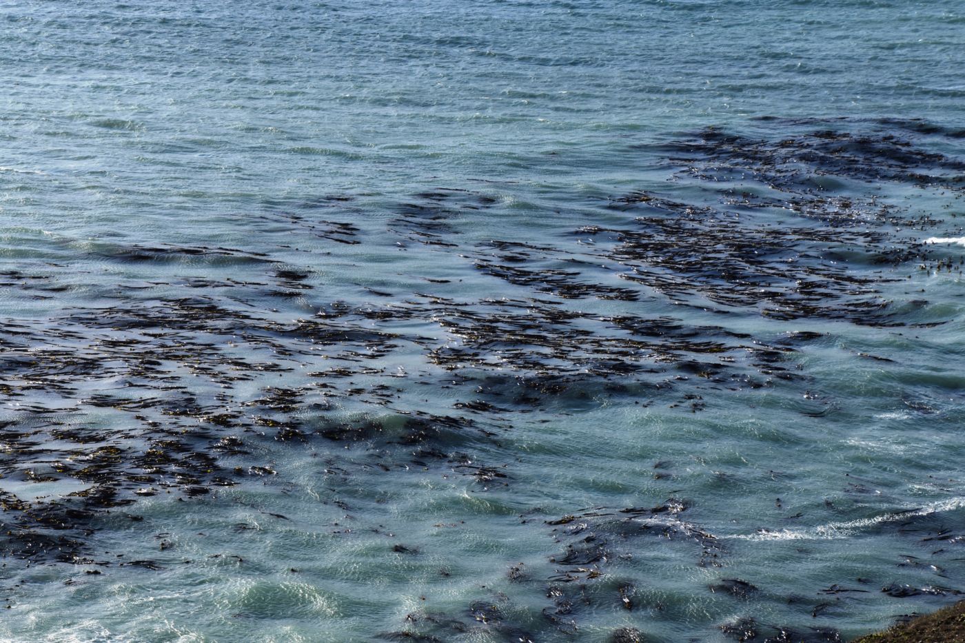
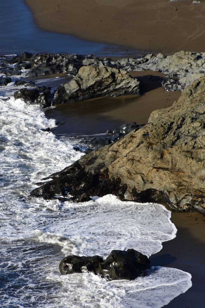
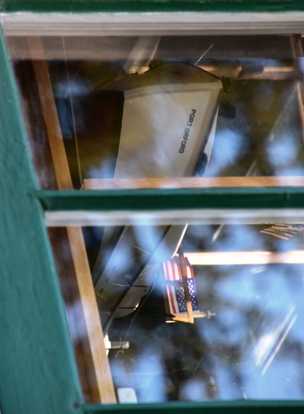
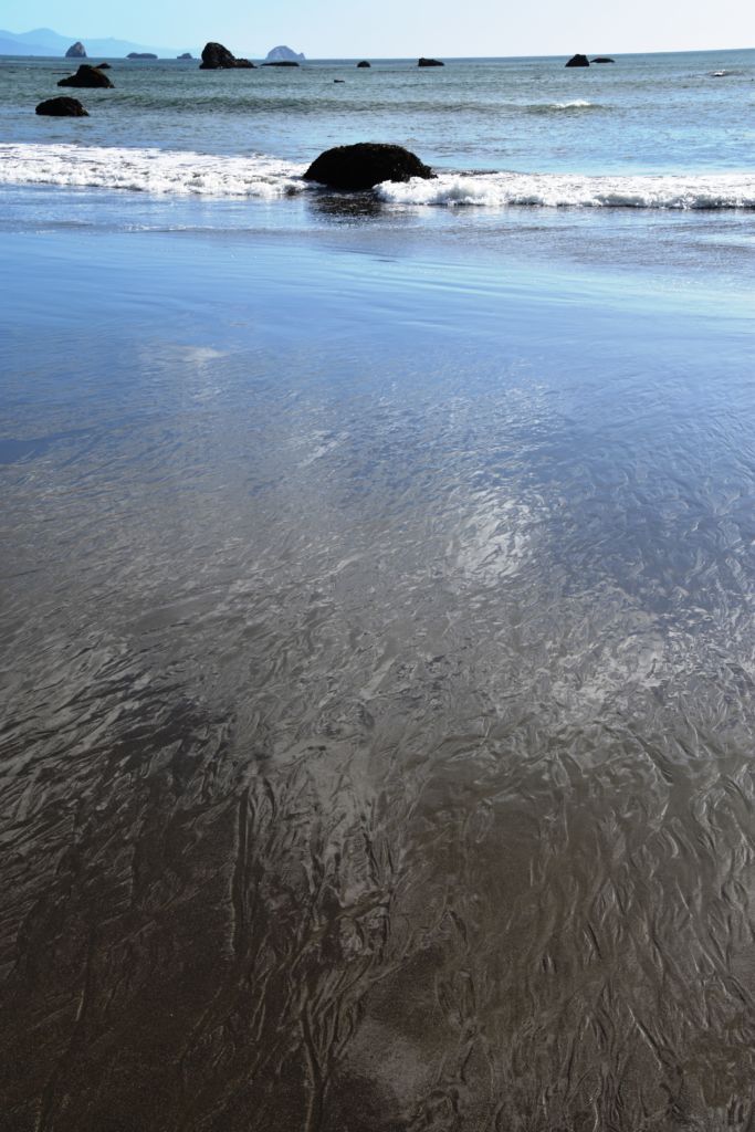
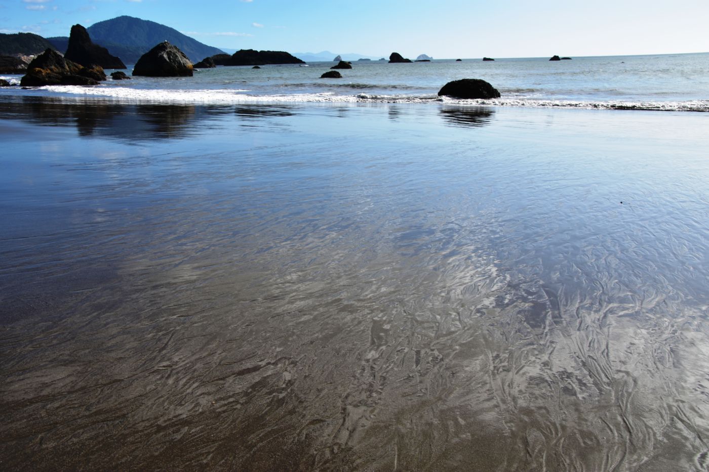
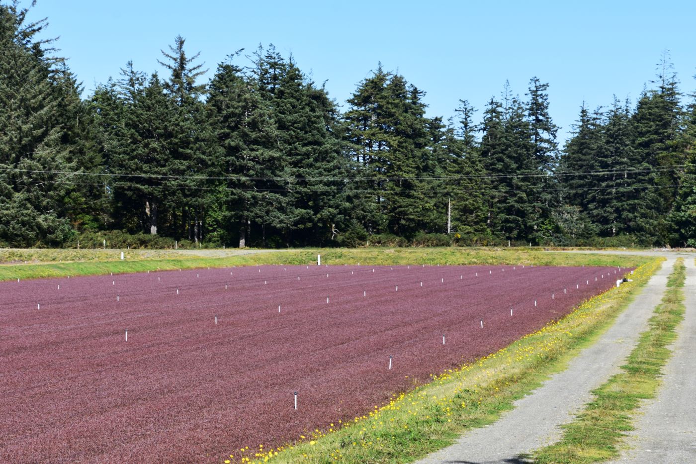
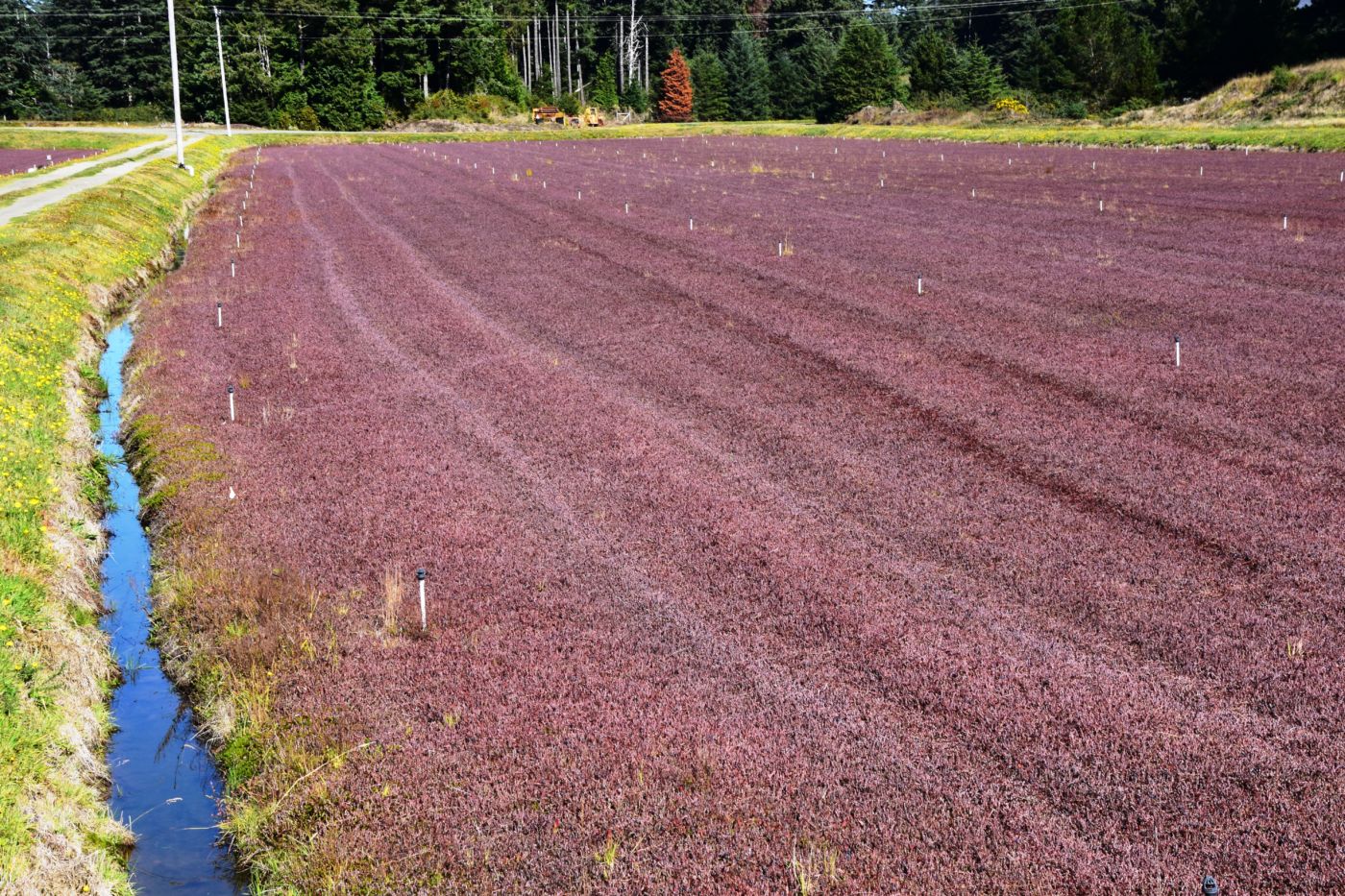
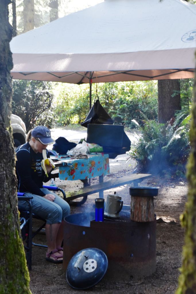
The weather turned a little drizzly the next day so we set up the rain tent over the table and fire and that took care of it. We went into Port Orford, passing some super cool Cranberry fields. We stopped in town an outstanding lunch at Redfish, outside overlooking Battle Rock Wayside Park. We walked down along the beach and took a ton of pictures. Everything seemed so clean and vivid; we had a great time. Back up at the park, they have a visitor’s center. The old timer in there was a super nice guy and we talked and talked, it just being the 3 of us.
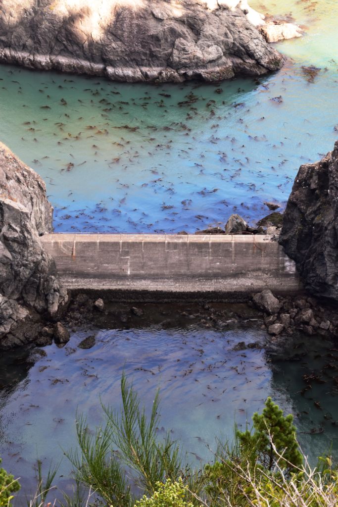
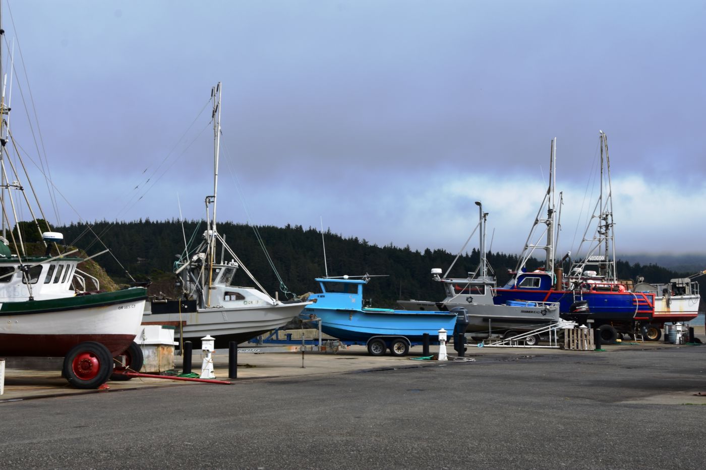
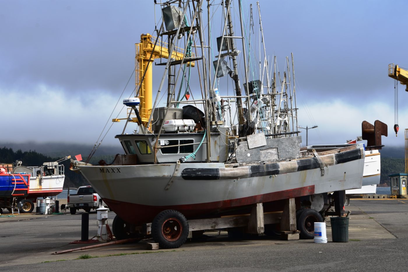
We headed out to the Port which was rather interesting because although it had quite a few boats, they were all small to medium sized, there were no real big fishing boats that you often sea on the coast. We then noticed they were all n wheels of some sort, or carts that could easily be towed. We eventually understood it all as the port sits high above the water along the bay and a crane is used to raise and lower the boats in and out of the water. It is quite an interesting process and a fascinating solution to the location and geography of the bay.
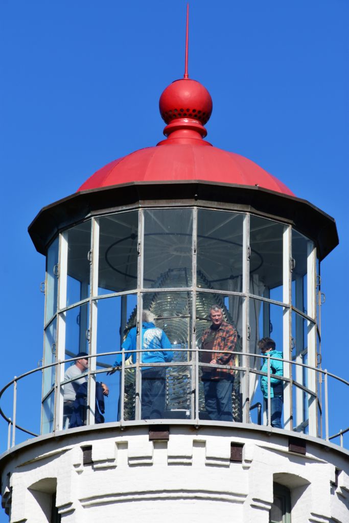
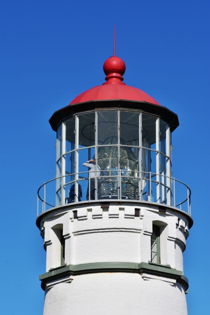
It was already a great day, but we were out and about so we wanted to squeeze in a visit to the Port Orford Lighthouse Station up on a bluff within Port Orford Heads State Park. Most everything was closed by the time we got there, but we could see the Lifeboat station constructed in 1934, the former crew quarters which is now a museum, and a lifeboat on display in the courtyard. A trail heads up to an overlook of Nellie’s Cove where the boathouse sat and a rail-mounted carriage used to launch the boats. The piers and concrete breakwater are still visible.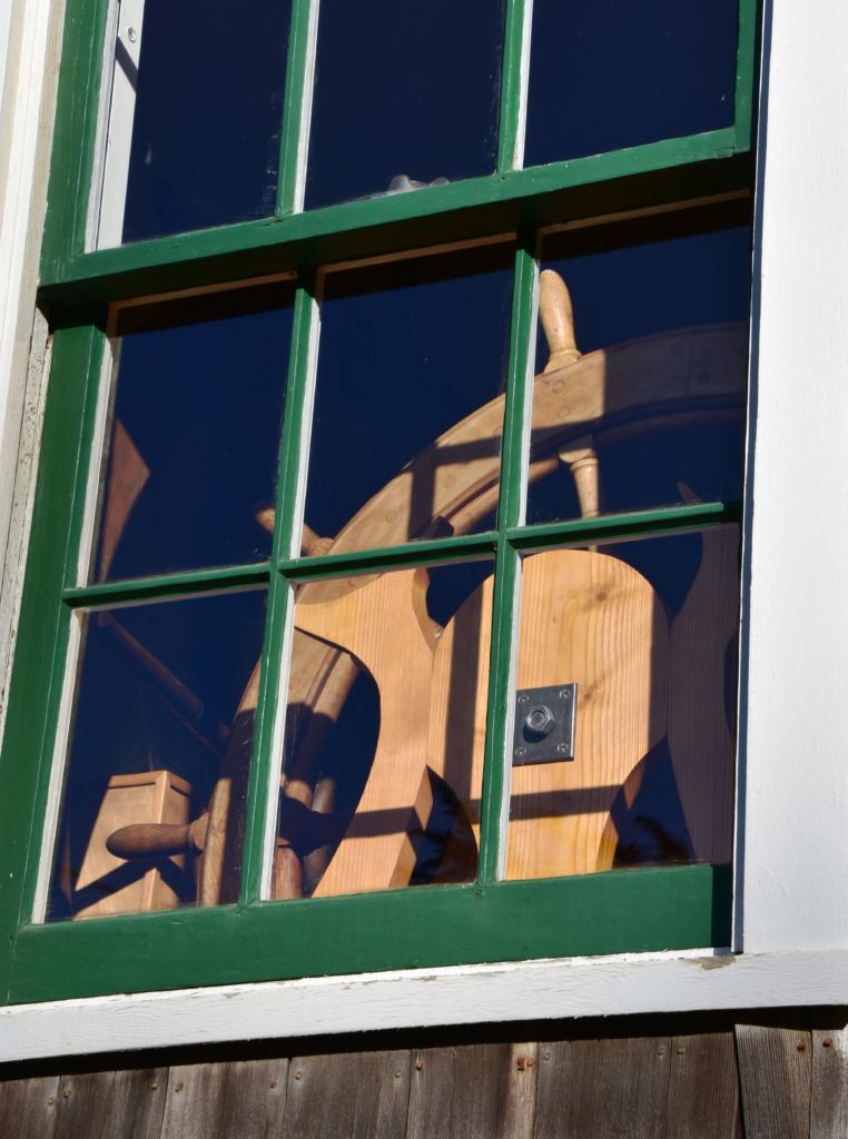
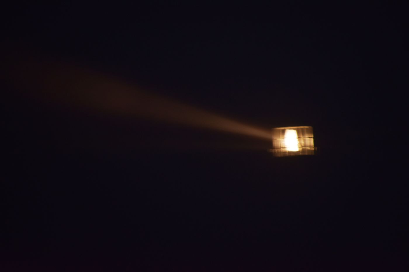
With that, our day had ended and we barely had time to get back to camp before dark. The weather held again and we had a great dinner and fire. That night the wind really picked up and raged. It was so loud, neither of us were sleeping so we decided to get up before dawn and drive out to the lighthouse. The light was very cool in the dark, cloudy, foggy pre-dawn. We could barely get the truck doors open the wind was so strong. We didn’t stay long, but it was a very cool experience.
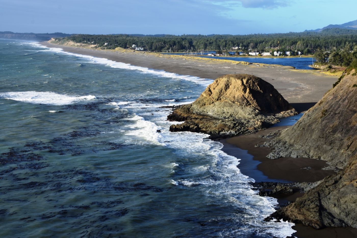
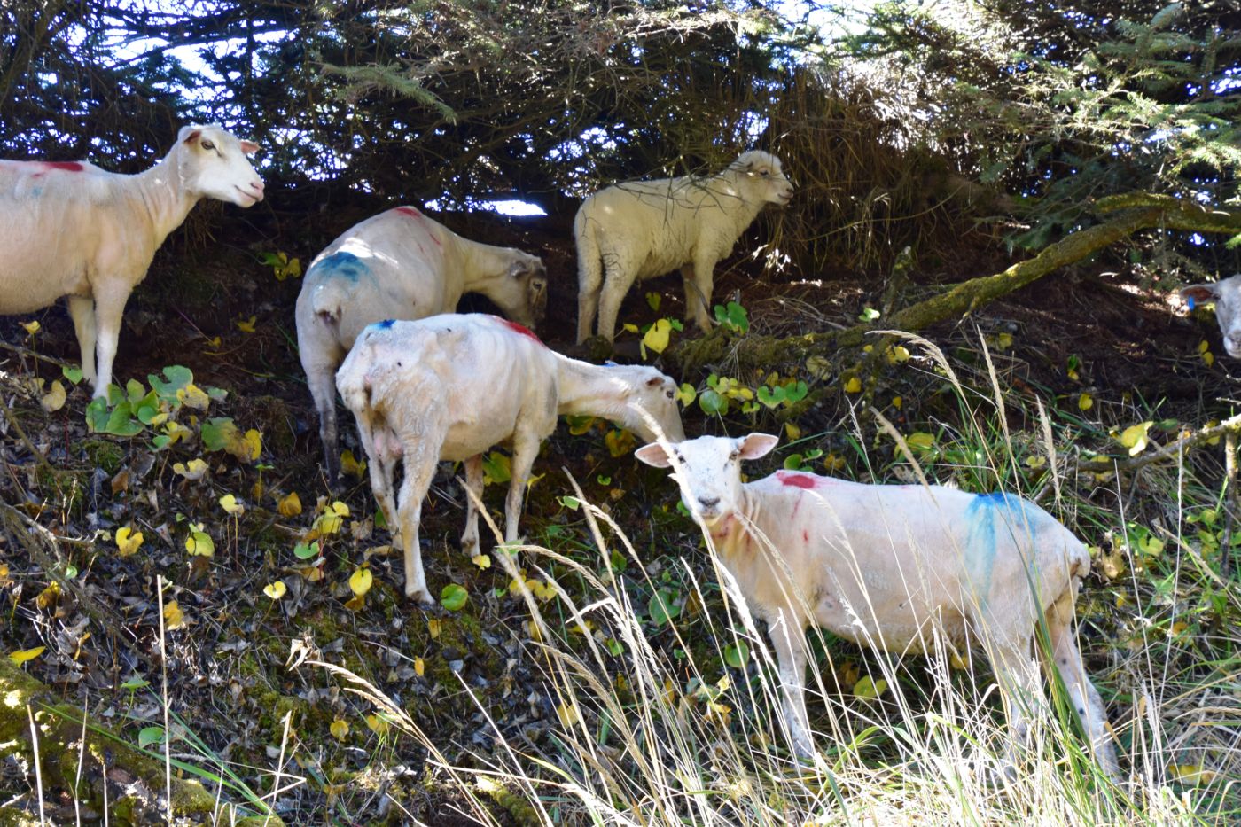
Fortunately, the wind blew out by morning and it was a gorgeous day. We walked along the beach and saw a herd of sheered sheeps that looked like they had been attacked by paint ballers. They were kinda silly looking. By the time we headed up to see the lighthouse, they had stopped doing tours, but we were able to hit the gift shop and buy some shirts.
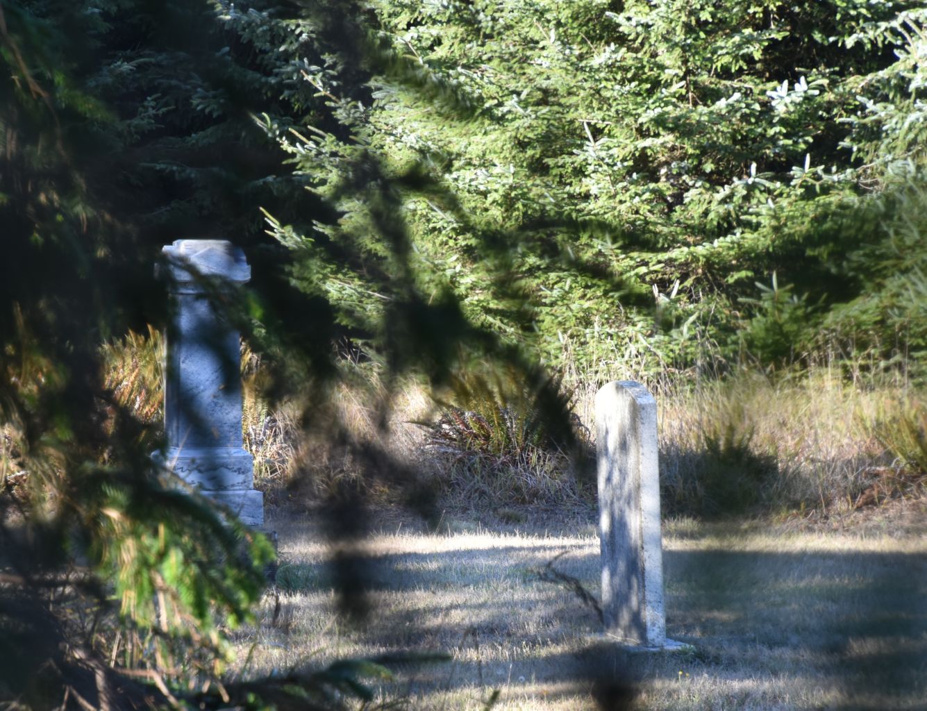
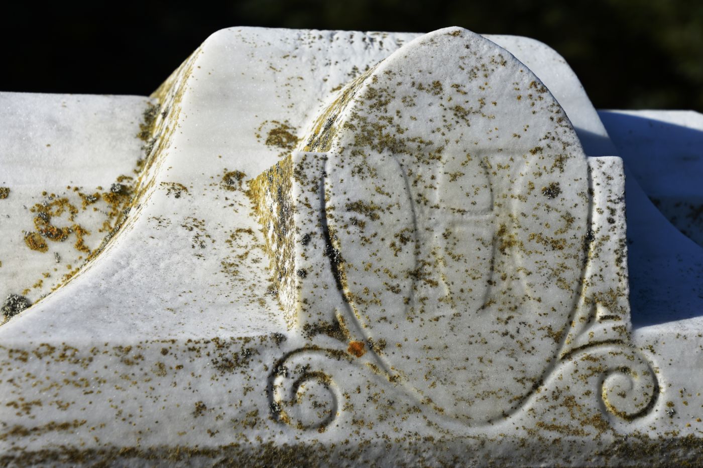
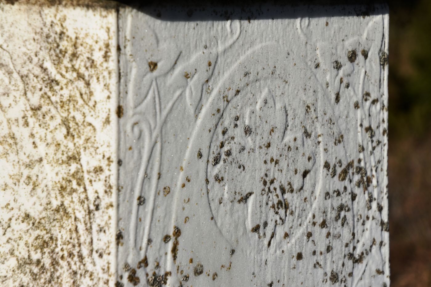
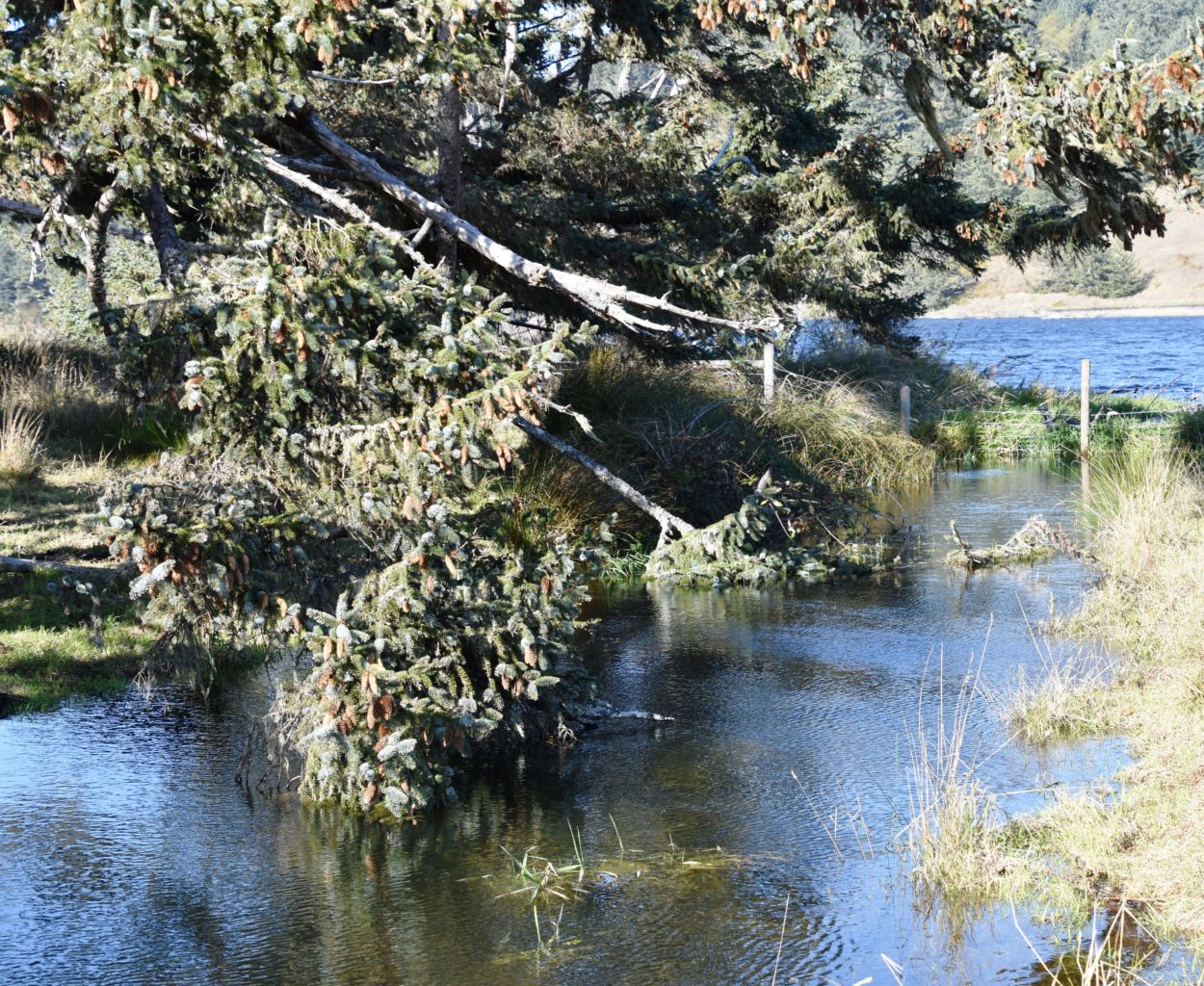
With that stop a little shorter than expected, we headed out to the Sixes River and the Hughes Historic House. The Hughes family were early pioneer settlers and built this house in 1898. They had a successful ranch over several generations of family. There is a large family cemetery nearby that we also visited. It was a great day to just stay close by the camp and see the local sights.
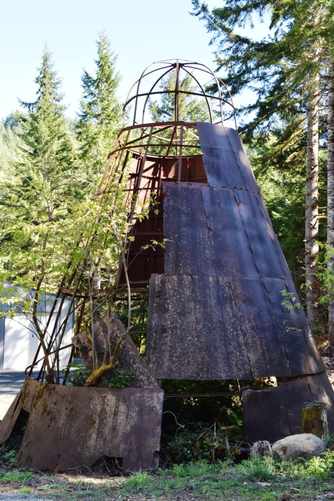
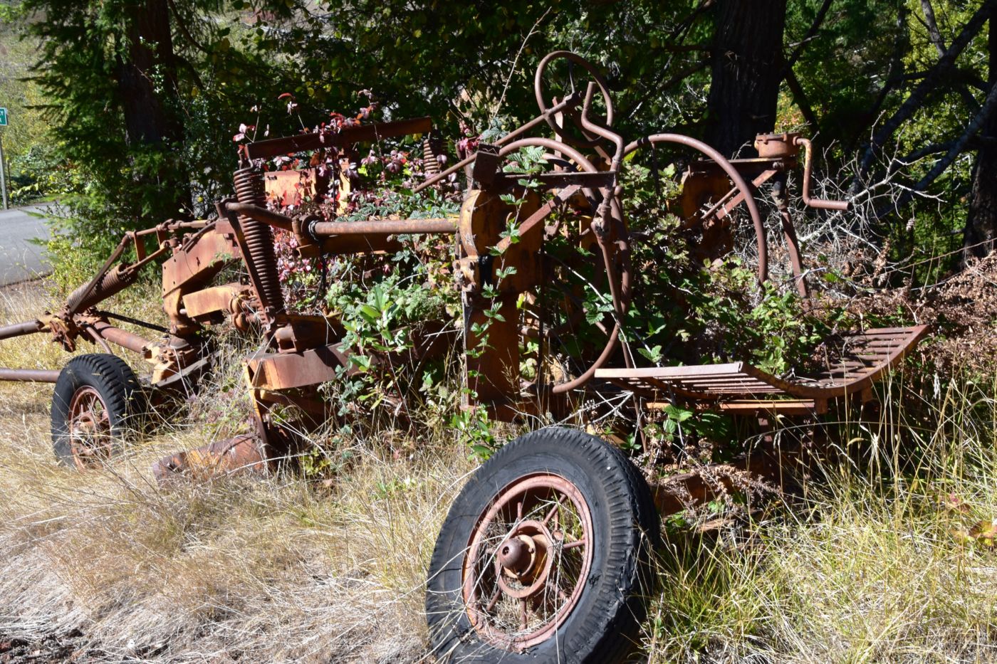
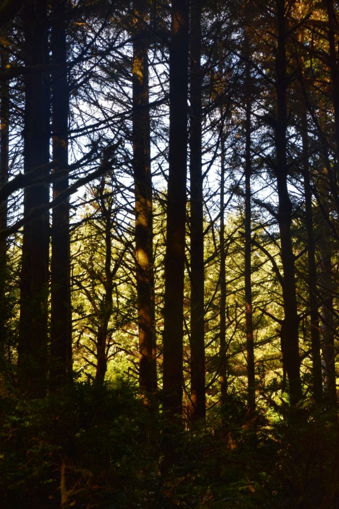
The next day we decided to head inland to see what the mountain country was like. We headed North on 101 a few miles into Langlois and ate at the Spoon. After lunch, we headed East up Langlois Mountain Road. We passed on old mill site with the remnants of an old fashioned tipi-burner where they would burn all the bark and mill-ends to dispose of them. The road got smaller and smaller and split off to people’s property, until we finally reached a gated fence, the literal end of the road.
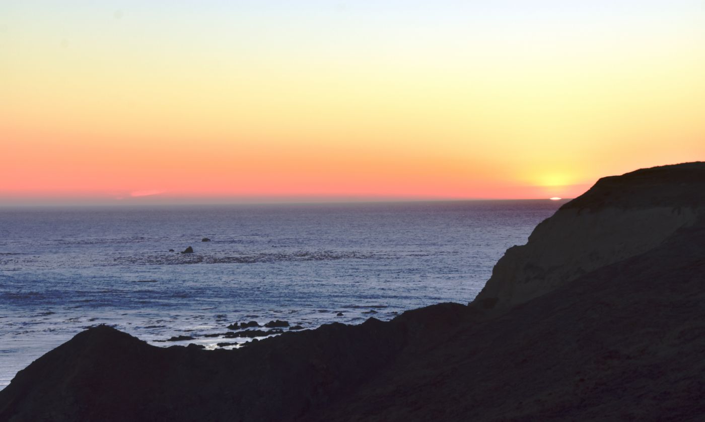
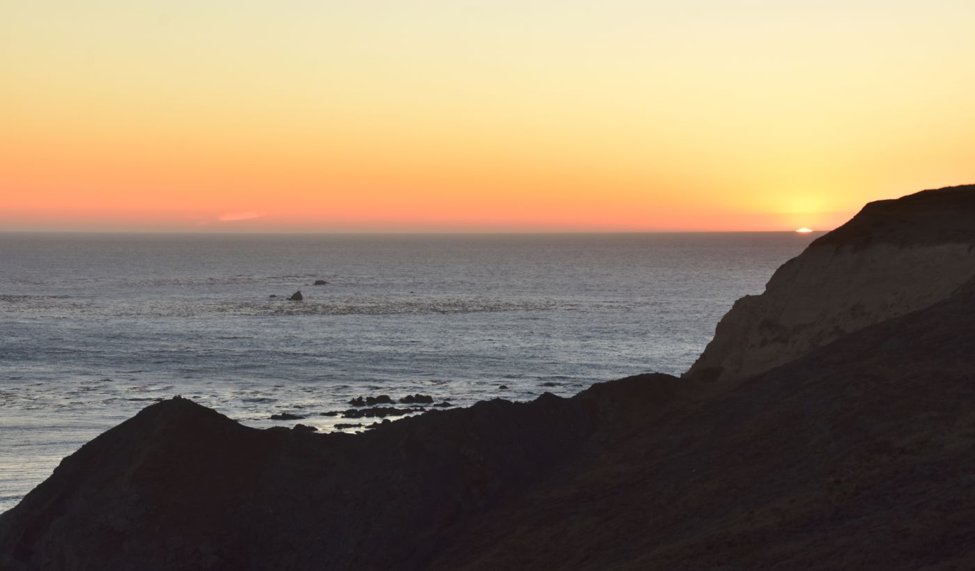
Back in town, we hit the Langlois Market for some dinner fixins before heading back to camp. It was just sunset so we headed out to the bluff to take it all in. Not only was it spectacularly beautiful, it was the end of the good weather. It was raining the next morning and the forecast was bleak so we packed up and left a day early. Fortunately, the weather cooperated with us one more time to give us a little window to pack without getting soaked.
 We headed North up 101 into Bandon to get gas and take a look around. We headed East off the coast on Highway 42 into I-5. On the way down 5, K made a reservation at a VRBO in Grants Pass on the Rogue River. It was a great spot, especially for the spur of the moment reservation. K went into town for Mexican food and we at out on the back patio overlooking the river. Sleep was excellent.
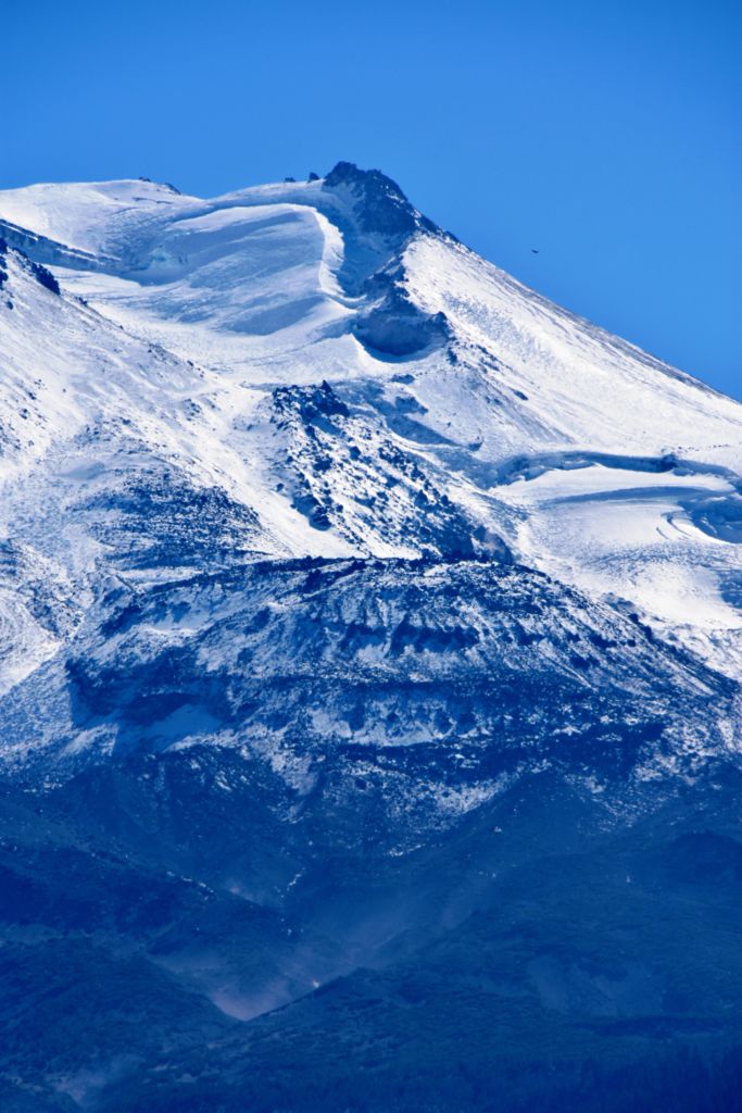
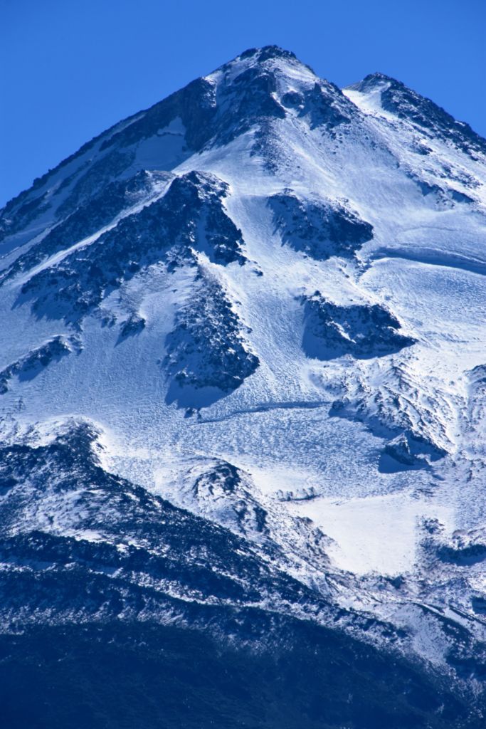
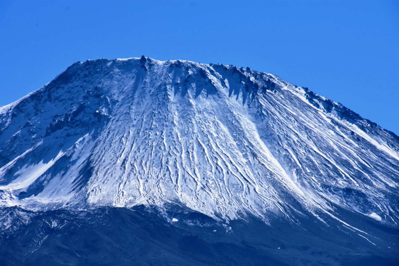
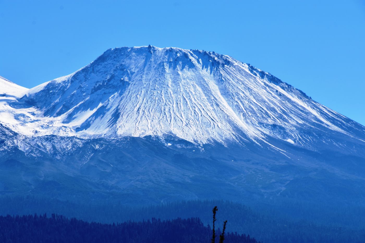
With basically an extra day for the drive home, I brought Kristen out Highway 97 out of Weed, just East of the Lake Shastina subdivision to look at property I had been looking at for years. In the way back days, you could get any number of these 2.5 acre lots for $2500. Now, the good ones were going for twice that, but still, a great deal. No water, some with power, and very very few structures. Some had incredible volcanic deposits and most had incredible views of Mt. Shasta. I was excited to show K.
Somehow we were able to get several listings to look at so we had a starting point, but it didn’t take long for us to realize things had changed, significantly, and not for the better. Many lots had plastic tarps surrounding them and others had more substantial fences and screens. There were a few abandoned cars, trucks, and misc vehicles. There were buckets and pipes and irrigation stuff everywhere. The whole area had a bad vibe, one of drugs, and hardship, and distrust, and desperation.

We found a couple of lots, but just for fun. In searching for another, a guy came out from his place; I am sure he had a pistil behind his back. Once he knew we were harmless he relaxed and his wife and kids came out. It was a rough scene. We found one large property that had a lot of potential, with power, water, and old cinder block shell of a structure, another steel garage or workshop, great views of Shasta, and plenty of distance from the main roads. They were asking $67,000 I believe, and it was tempting, but the place had changed and no longer felt good to me.
I was filled with memories of some 10 years ago when I brought my brother Mike and sister Wyn up to look at a property in the undeveloped development. I was in love with this double lot that had a 2 story wooden house on it. The place was super rough, again, just a shell, but the property was awesome and the Shasta was just massively in your face. I guess I would have been disappointed with what has become of the area, but that place was a gem. Oh well, nothing but cheap memories now.
We blasted home the rest of the way with a second Oregon Coast trip under our belts and excited about what was to come. We are fortunate to be able to take these trips and enjoy traveling and adventures in this great life we live.
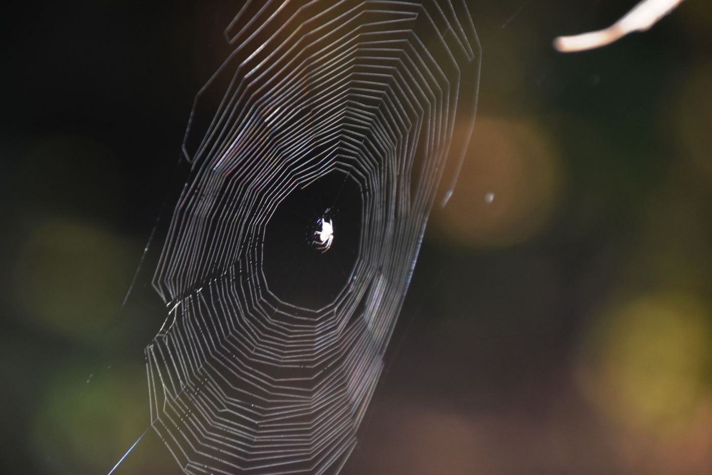
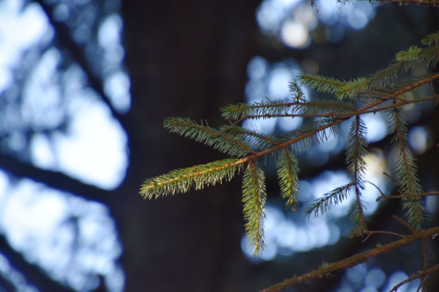
Oregon Coast II Photo Gallery