Saline Valley, Death Valley National Park
Trip Date: January 28, 2019
2019 it is; holy fuck. This is perhaps our fourth consecutive January trip; first heading out to Carrizo Plain, then the Panamints, a bit South of Saline, then 2 consecutive jaunts into the Mojave. We will return to the Mojave in a couple months but we want to get up into the New York Mountains in the northeast part of the park where it will be colder so we will postpone that trek until it warms up a bit. So back to DV it is.
This is a particularly meaningful trip for me as it was from my cousin Gil that I first heard of these hot springs. Gil was a very adventurous guy and traveled much of the world in his few years on earth. I was captivated by his description of this place some 30 years ago and get the memory in hopes of seeing it for myself some day. In all the trips I have taken to DV and all the canyons and vast expanses and passes and rough rocky terrain I have explored, Saline always seemed a notch above and beyond. Recent inquiries into the road conditions only amplified the adventure level. I needed my boys to get me in there.

It may have been at Tom’s retirement trip we bandied about the possibility of heading to Saline. All seemed in favor and so with clear dates, and favorable weather, Bob picked me up for our first leg of the journey. Bill and Steve were headed down about the same time, and with Tom’s retirement, he would head over from San Luis Obispo. The snow was high in the Sierra’s but it was no longer clinging to the trees, even in the high ground above the passes. Someday I will figure out how to cross over from Highway 88 to 395 without either getting all tangled up in the neighborhood or going all the way North into freaking Minden, but, as usual, I had Bob turn too soon and we saw way too much of town than we wanted. It is Centerville Lane dummy!
Even with a slight tour of town, we soon were passing through the stupid inspection station, having entered Nevada for that tour of Southern Gardnerville, since 89/Monitor Pass was closed. As we pulled forward to the uniformed guard, he asked the usual questions of what planet we were from and what our sexual preferences were. Then he asked if we were with the strange guys that had just come through. Assuming he meant Bill and Steve we said yes. He proceeded to tell us that we shouldn’t be transporting wood more than 50 miles; but despite that fact that we already had, and had many more miles to come, and he looked over a couple pieces of wood in our overflowing garbage cans and said he could see all the bug damage, and that the strange guys in the rig ahead of us had warned him of our illicit load, he just let us go.

Now, I much appreciated him letting us proceed, not having to leave the wood, and unload the whole truck and all the effort and lost time, but how ridiculous. I transported the wood more than 50 miles bringing it home from the woods. This is just another example of why people get all pissed off at the government and stupid efforts to try to do good things. We can’t transport wood, we can’t gather it along the way, we can’t gather it where we camp…do we burn coal? Is that the legal way? It is a tangled web we weave. Alas, we were on our way, unmolested, and feeling good, relived, and a tad perplexed at the point of it all.
We were soon passing through a strong entry for Worst town in America” – Bridgeport. Yes, it is cute and has great memories of my sister Wyn staying at the Walker River Lodge, my mom at the burger joint, getting great meat and jerky at the butcher, Mike’s court date with the crooked lawman, and getting bit by the dog at the gas station with Ken, but this place sucks! Maybe it is the people. They have no service station – no help, nothing. With all the traffic passing through, they seem proud to not be able or willing to do anything for anybody. You have to get help from Lee Vining.
 It was last time through when we got a flat just beyond town but were able to turn around and limp back to the Shell station on the North end of town with the huge sign that says “No Services”. I took the risk of sharing words with the lone guy behind the counter and he barely struggled to make the effort to grunt and point to the sign. I tried to clarify my request, acknowledging I could read and understand that they did not offer services; however, I wondered if I could borrow a jack. That apparently fell under the offering of services clause in their finely detailed contract. I respectfully asked if I might find a more helpful human being anywhere else in town. To my surprise, answering questions of any kind was also covered by said contract.
Despite being parked right in front of his formerly known as a “service” door, we would be doing the tire change on our own with our own tools. I raged at the asshole for a moment, thanking him profusely for being alive and our time together. Astute chums that they are, Bob and Steve had witnessed my negotiations, and had begun to unpack the truck and get to the tools. We had her done in no time, and left that lovely burg in the rear view mirror until the next time, which was this time. Fortunately Bob’s rig suffered no such incident and we rolled through to Lee Vining.

Unfortunately, this being winter and all, much of town was closed. The cool little gift shop where I bought the runner in front of the wood stove that the cats crapped on and I had to throw away was closed, foiling my intent to replace it. Bob’s preferred gas station and coffee supplier a tad up 120 was also shuttered, requiring us to turn around and get back to the main restaurant in town for a coffee fill and a pee. Cocky copper was parked in a similar place by the restaurant but alas, he had his hands full of himself and we passed by without being assaulted. Thank god we are white.
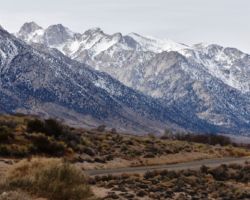
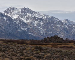
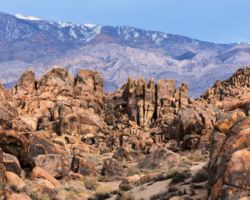
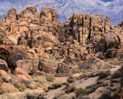
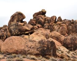
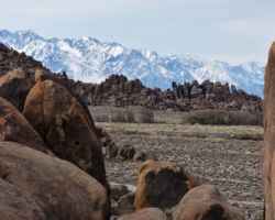
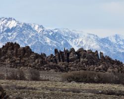
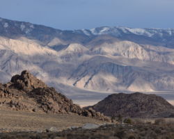
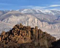
We passed Bishop, Keough Hot Springs, Big Pine, Independence, and Manzanar, all places that deserve specific trips of their own, then finally arrived at Lone Pine. The reputation of the road into Saline convinced us to stay in town the first night and attempt the descent first thing the next day, fresh and unhurried. This turned out to be a very good decision. The Alabama Hills are a natural phenomenon that has become a human interest site as well. The Alabama Hills are a range of hills and rock formations near the eastern slope of the Sierra Nevada in the Owens Valley, just west of Lone Pine. The rounded contours of the Alabamas contrast with the sharp ridges of the Sierra Nevada to the west. Though this might suggest that they formed from a different orogeny, the Alabamas are the same age as the Sierra Nevada. The difference in wear can be accounted for by different patterns of erosion.

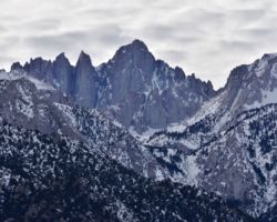
Mount Whitney, the tallest mountain in the contiguous United States, towers several thousand feet above this low range, which itself is 1,500 feet (460 m) above the floor of Owens Valley. However, gravity surveys indicate that the Owens Valley is filled with about 10,000 feet (3,000 m) of sediment and that the Alabamas are the tip of a very steep escarpment. This feature may have been created by many earthquakes similar to the 1872 Lone Pine earthquake which, in a single event, caused a vertical displacement of 15–20 feet.
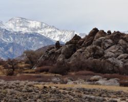
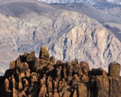
There are two main types of rock exposed at Alabama Hills. One is an orange, drab weathered metamorphosed volcanic rock that is 150-200 million years old. The other type of rock exposed here is 82- to 85-million-year-old biotite monzogranite which weathers to potato-shaped large boulders, many of which stand on end due to spheroidal weathering acting on many nearly vertical joints in the rock.

The Alabama Hills were named for the CSS Alabama, a Confederate warship deployed during the American Civil War. When news of the ship’s exploits reached prospectors in California sympathetic to the Confederates, they named many mining claims after the ship, and the name came to be applied to the entire range. When the Alabama was finally sunk off the coast of Normandy by the USS Kearsarge in 1864, prospectors sympathetic to the North named a mining district, a mountain pass, a mountain peak, and a town after the Kearsarge.
The Alabama Hills are a popular filming location for television and movie productions, especially Westerns set in an archetypical “rugged” environment. Since the early 1920s, 150 movies and about a dozen television shows have been filmed here, including Tom Mix films, Hopalong Cassidy films, The Gene Autry Show, The Lone Ranger and Bonanza. Meanwhile Classics such as Gunga Din, The Walking Hills, Yellow Sky, Springfield Rifle, The Violent Men, Bad Day at Black Rock (1955), the Budd Boetticher/Randolph Scott “Ranown” westerns, part of How the West Was Won, and Joe Kidd. In the late 1940s and early 50s the area was also a popular location for the films of B-western actor Tim Holt. More recent productions have been filmed at “movie ranch” sites known as Movie Flats and Movie Flat Road.

Tom had suggested he wanted to spend some time in the Alabamas on his way down and none of us other than Steve had been there, so we all headed that direction. Somehow, Bob and I couldn’t find the road to it and headed South beyond town before pulling into a trailer park to ask for directions. As it was we were just kinda on the Southern edge of the area and we soon pulled off Lubken Canyon Road for a beverage. We followed our directions, turning right on Horseshoe Meadows Road, but we sure wanted to turn left and head up the nasty looking switchbacks to what we thought might be Whitney Portal. However, this road heads up to 10,000’ and some spectacular country around Horseshoe Meadow, Last Chance Meadow, and Cottonwood Lakes. A MUST return trip. However, dutifully we headed towards what appeared to be a little community set among the boulder fields and formations. Indeed, there is quite a collection of stately homes, modern architectural gems and skanky run down trailers. We stopped in the middle of the road rather spellbound at the rocks, vistas, and structures, when all of a sudden we got blasted by a loud horn. A gigantic yellow school bus had snuck up on our 6 and wrecked our moment.

Bob pulled off the side of the road in front of the house where the little girl lived that jumped off the bus; so somehow, the only 2 moving vehicles in the area were still in each other’s way. As the bus finally passed us, I reached out to Steve to get their whereabouts, and to let him know we were behind the giant yellow school bus. They thought we were hallucinating but somehow we still met up at a formation out of town where the movie Gunga Din was filmed. It was a surreal moment as we both left Sacramento some 8 hours before and were now meeting in this very strange and otherworldly beautiful place. A celebration ensued.
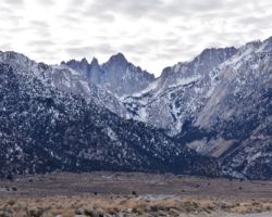
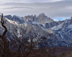
As fate would have it, Tom appeared from behind the rocks in a matter of moments. Bob and I decided to follow Bill and Steve’s recommendation to head up Whitney Portal road to Whitney Portal Campground. The campground was not gated off and one guy was in there, otherwise it was empty. The view of Mt. Whitney was incredible; so close it looked like it could topple over and hit you. Just a spectacular place. We headed up the road another couple miles where it was barricaded, apparently closed due to winter storm damage. Just another reason to return.

It was time to head to town and check out our accommodations. Tom was staying on the South edge of town at the Best Western; the rest of us at the Whitney Portal Hostel. This is a great place to stay; clean, neat, quiet, and with a variety of room types. Bob stayed in the group dormitory room and was the only person in there. Bill and Steve shared a room (with 2 beds presumably), and I had my own room. Once we freshened up, we headed to find a whiskey bar. Alas, this flea bit wide patch doesn’t have a real bar in the entire town. Can you imagine all the drinkin and partyin and carryin on that was goin on when the movie stars and crews and actors and such were in town to film all those movies, not to mention the cowboys and wranglers and prospectors in the old days. This town should be ashamed of themselves for not having a descent bar.
I was shocked; I totally thought she was kidding when the bartender said beer and wine only. This was madness. After a couple very unsatisfying beers, we headed to dinner at the Mt. Whitney Restaurant which was a great little place full of movie memorabilia and friendly people. The night was cold, but I was toasty in my bed. The morning was beautiful and I was excited to get going, but we were warned not to leave town without having breakfast at the Alabama Hills Café and Bakery. OMG, was this place cool.

It was pretty tiny, but fortunately we beat the rush. The waitress was super nice and funny we were having a good time. Then the mounds of food came. It was so good and massive amounts. Then these freakin biscuits came that were like 4x4x4, as big as a saucer. I don’t think anyone had room for them at the table so they were wrapped up with the rest of the leftovers for the trip. By the time we left, the place was packed and we had to speak up to be heard above the din of numerous breakfast eaters. We headed South to gas up and be sure to head in together. It took an inordinate amount of time, but eventually we were ready. I regaled Bob with stories of my previous trips into DV and being buzzed by the fighter jets; literally scaring me off the road.
When we turned left onto Saline Valley Rd., I got chills thinking that after all these trips to DV and all the stories and reading I had done on Saline Valley and the hot springs, this was finally my turn to head into that last area of DV I had yet to see. I was stoked. After only 7 miles, at the very first fork in the road, we were separated. Even in the desert with miles of visibility, no trees, and so few roads, you can get mixed up if you are not careful. This fork heads out Lee Flat and you can access numerous canyons and mines in the Inyo Mountains and Santa Rosa Flat. You can even head up to the ghost town of the Cerro Gordo Mine complex and return to Highway 136 at Keeler. I would love to come back to this area for some extensive exploring.

However, noticing our dust was no longer rising in front of them, the rigs returned in a few minutes and, back together again, we climbed up to about 6,225 feet over an unnamed pass and into some thick Pinyon Pine. It turns out that the elevation and crossing these passes is the real obstacle to getting to Saline. It is easy to forget about the elevation in DVNP and all around the area as so much attention is focused on the low elevation and Badwater and the heat in these low valleys. We dropped a bit and then climbed again to South Pass at about 6,000 feet, some 4,000 above Panamint Springs Resort on Highway190, only 13 miles South of South Pass.
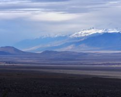
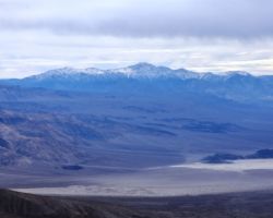
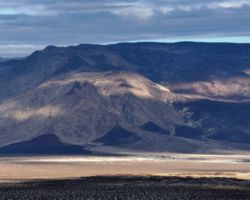
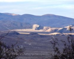
We pulled over at a wide spot in the road, to gaze out over Panamint Valley, the South end of the Panamint Range to its East, which includes Telescope Peak at over 11,000 feet. We guessed at the location of our campsite in the Argus Range, the Western border of Panamint Valley. We were also at the intersection of the 4 WD track that heads North over Hunter Mountain and loops all the way around the Racetrack and Ubehebe Peak, rejoining a main dirt road at Teakettle Junction. Stupendous country.

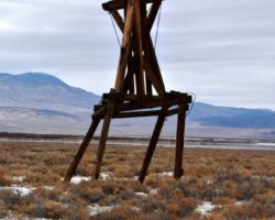
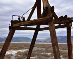
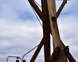
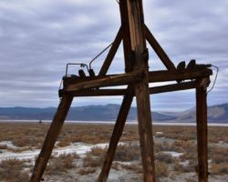
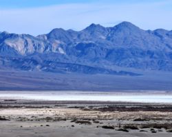
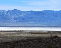
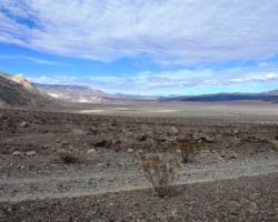
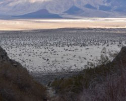
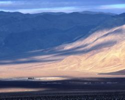
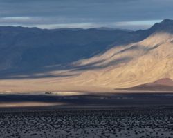
South Pass is the last of the elevation, as is North Pass if entering Saline from the North. From these passes you drop to 1,000 feet at the bottom of Saline in just about 20 miles as the crow flies. The road is a different route altogether. It is narrow, steep, rocky, and winding for about 3 miles as you navigate a steep canyon and drop a couple thousand feet. After that, it widens and you descend more gradually out on alluvial fans, up and down, and around massive boulder fields as you drop the last 3 or so thousand feet until you come to the white mass of the dry Salt Lake. Here you can see remnants of wooden towers from the Saline Valley Salt Tram. Another prime example of insane men doing insane things in totally insane places under completely insano conditions. Relatives you ask?
There is talk of a Saline Valley Marsh of freshwater, that was supposed to have supported about 125 Timbisha Shoshone. Wopschau Spring was said to support over 100 species of birds, toads, bullfrogs, crayfish, chub, bullhead, and bluegill fish, and lots of mosquitoes. I did see the impressive mesquite grove, but I cannot imagine any standing fresh water out there. We did not stop and search; I suppose we should have. But this was the second day of driving and it had already been a long rough one and we still had no idea where our destination was. We had driven the 30 or so of the expected 40 miles to the springs, but, nothing was in sight and beginning a quest for a spring looking out over the blinding white salt deposits felt like something only fools would initiate. So off we went!

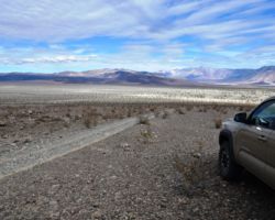
No we didn’t. We wondered about the tram towers for a bit, but excitedly mounted our rigs, hoping this would prove to be the last stop before camp. We had a great guide book with mile by mile descriptions, but it was written 24 years ago and no 2 odometers are the same on good pavement, let alone jarring rock and miles of washboard. We were supposed to see a painted rock, which I assumed would be quite obvious, as it was given as the landmark and there were plenty of boulders available that would have made an excellent road sign. We passed the dunes which were our last geographic marker, but found no painted rock. We were a few miles North of our best guess to the access road to the hot springs before we convinced ourselves we were too far and turned around.
A few wild burros met us on the road to make sure we were getting back to where we needed to be; guiding us onto the sandy track that not only headed to the hot springs, the reason 90% of people come to these parts, but also to intersection of the road that leads out of Saline to the Northeast over Steele Pass. You’d think it would be more obvious. We were hugging the dunes and that felt right. We saw a dark spot which we imagined could be the small group of palm trees by the springs. Things were picking up. I put my guidebook down and watched the trees become more treelike as we got close enough to see we were finally here.

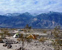
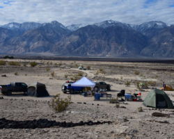
What a relief and yet, not so much. The most critical work was now at hand. Figuring out the scene here, as there are 2 groups of springs here almost a mile apart, and there were many more people than we thought/hoped for/expected, very spread out and unconsolidated, yet present. The bottom springs seemed to have plenty of people and hoping farther was better, we quickly continued up the road. Here and there a roof of a rig, a van in the bushes, a tent on a rise. It was frustrating having come all this way and yet having difficulty being away from people. Our test for each site was, “was it worth coming all this way for this”?
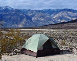
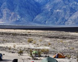
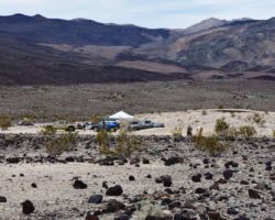
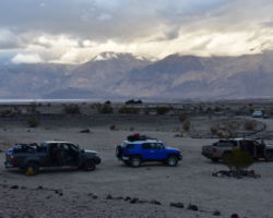
Finally we were above the second group of springs and heading on up to Steel Pass. This road was just rough rock; it was unbearable at any time let alone at the end of this day. We all came up and we all returned in short order. There were less folks here but still quite a few and we didn’t want to feel wedged in between. Finally we landed on a big area below the outhouse; it was off a little spur road with only one other camper in sight. Home sweet home.

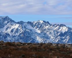
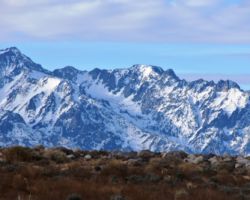
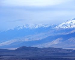
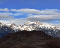
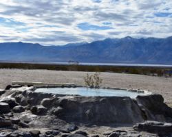
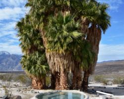
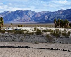
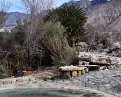
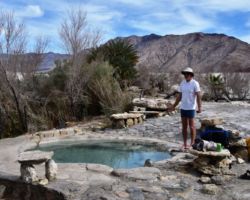
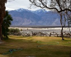
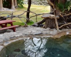
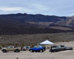
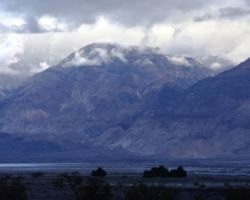
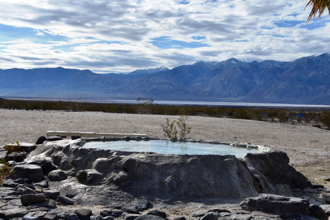
A beverage to knock off the dust and we got to unpacking. Fortunately, we had a large area we cordoned off with the rigs and set about choosing tent sites, kitchen, fire pit, etc. I was a little blown away at the number of people, but tried not to focus on the one rig in our viewscape. Now came the tough decisions; hot spring before dinner or after. I believe Bob was the first up the hill. Not a little intimidated, I left my shorts on for this first sojourn, but it would be the last. The tub was most impressive; concrete all around it, concrete walls, steps, benches. The water was crystal clear with no sediment at all. It was clearer than our hot tub at home. It had a small group of palm trees next to it and an extraordinary view of the snowcapped Inyo Mountains and 11,000’ Mount Inyo to the West. What a soak.

Bob whipped up some ravioli’s and Tom busted out the Manhattan’s. I toasted Gil and we got to grubbin. The fire was excellent, but the cold was effective and I was off to bed early. I did not sleep well, but certainly was not the first one up. I was still a bit funky from the cold I got in Hawaii a month ago; stuffy, little sore throat, snoring terribly, and patchy sleep. My energy was generally pretty low. But the air was clear and clean and being in the desert is always therapeutic – mentally and physically.
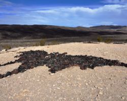
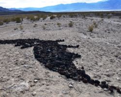
Super happy not to have to get in the rig, we opted for a local hike. But before we could get our shit together, we had fighter jets above. My god what a racket. A couple passes were made seemingly just about as low as they should. An enormous rush of power and energy and noise. They would come out of the North as if just passing over Steel Pass, scream down the valley over the springs to the Salt Lake and the Eastern escarpment of the Inyo Mountains and then bank sharply left to head South down the rest of Saline valley. I assume the cross South Pass just as we did then rage down Panamint Valley and back to China Lake Naval Weapons Center. In the Google Earth image I am using for the story, there is a rock formation on the outhouse hill between our camp and the hot springs that spells out “Go Navy”. Bill hung an American flag from his shade tent.

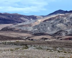
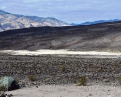
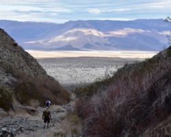
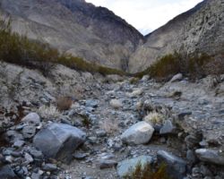
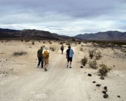
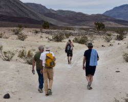
Some passes would be lower than others and sometimes they would be very high making it difficult to spot, but over and over they came throughout the morning. Leaving Tom in camp, we headed North towards the foothills of the Saline Range and Saline Peak at 7,000’. We crossed a river of rock almost half a mile wide pouring in waves 6 and 7 feet high out of the hills; the tops of which were a dull dark brown, but as they eroded away became shades of green, red, tan, blue gray, orange. It was a muted watercolor palette that excited and soothed simultaneously. We finally got out of the wash and into a narrow canyon. We had to choose left or right over and over as we scrambled over boulders, and took caution over jagged lava.
Eventually we came to the wall that was too much for us, so we sat in the shade and enjoyed our refreshments and swapped stories. Not wanting to retrace our path, we scurried up the hillside and got up to the lava field still covering these upper regions. It was dark, warm, ragged and jagged with very little vegetation or soil of any kind. What a wonderland. The slope was gentle enough that we wanted to keep climbing and climbing in hopes of getting to a clear and obvious ridge, but with each “top”, was another down slope and another higher lip beyond and another and another. The top was nowhere in sight.

Finally, we hopped into a ravine and followed it all the way down, picking our way over mini waterfalls and not so mini waterfalls, dry for now, but an absolute spring of wonderment and imagination. To be here in a warm rain. To see the water flowing. To hear the splashing. What a thing to experience. Not on this trip, but perhaps in a prior life. It was great fun picking our way down the ravine and eventually back across the wavy rock river, back to camp. Time for a soak you say? Thank god the jets are done for the day.
We were getting over the number of people here and finding our groove, focusing on these hot springs. There were 2 cement “tubs” in this upper spring and the farther one was a bit bigger, hotter and much more popular. Almost everyone went there. I felt a bit left out like all the cool kids (and women) were at the other tub, but after trying that one and feeling how uncomfortably hot it was for me, I was giddy to kind of have our own spot. We rarely had other people at it, and they usually left as soon as we arrived, typically being 4 or 5 of us. Only once did anyone join us after we had been in for a bit, so we essentially had this pool to ourselves. It was awesome.

A great soak, fire, cocktails, dinner, and spectacularly clear starry night, put me on my knees early and I was soon fighting off sleep. I think Tommy cooked this night; shredded pork, taters, and maybe a salad. I ate myself unconscious. Relenting, I drug my weary body to the tent for a great sleep. By the time I arose, Bob and Steve had eggs, coffee, bacon, and toast ready to go. What a way to start the day. Tom wanted to get up into the canyons we were looking at on the East side of Inyo Mountain, so we loaded up and headed back down past the dunes and onto the main road. Distances, shadows, angles, vastness, perspective all contributes to opportunities for confusion in the desert, so it was with finding the access to the canyon we wanted to explore.
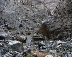
As the jets raged above, we hunted for the entrance to the access road that would lead us into McEvoy Canyon. The book said it was one of a number of canyons that had year round streams, a waterfall or two, and opportunities for wildflowers, wildlife, birdies and such. We finally settled on a road and started to crawl up the alluvial fan, bouncing, and rocking and rolling and rattling our way up towards the gash in the mountains. It did take on the feeling of being in a tank with air support above, but I rebuffed the image and focused on the possibility of flowing water up high in the canyon.

You are often surprised by how much elevation you climb as you slowly climb up all the debris that has washed out of the canyons. We came up this track as far as we were going to and got out to soak in the view and the new perspective, and to see the jets below us from this position. We picked up what we thought was the trail into the mouth, but soon came to the edge of a cliff. We noticed the rock cairns all around us, so numerous as to not be helpful. Apparently, this trail had come and gone with numerous winters debris erasing it over and over, as with just about everything else man made in these parts.
We followed another piece of trail and another and soon realized we either had to hike higher up the mountain and hope to drop into the canyon from above or way down the wash and come back up from way below. I wanted none of either so I convinced myself over the edge was to way for me. I walked the trail just like it still existed until it didn’t. Then I entered the shoot that the trail washed down into and I became just more hillside debris. What was once up top is now down below in the debris river. It wasn’t terrible going down, but once down, it was hard to imagine where I had just been. Tom followed and we were soon having a libation awaiting the return of the 3 wise men.

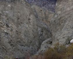
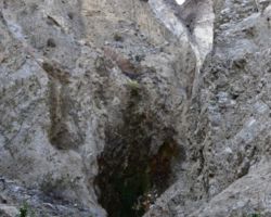
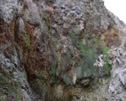
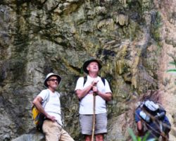
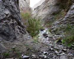
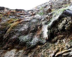
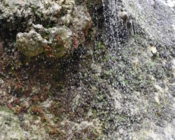
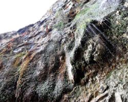
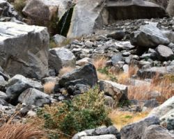
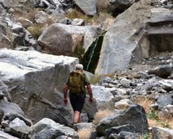
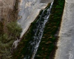
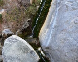
Up into the mouth we went and were soon absorbed by the vertical walls. A turn of the canyon or three and one was unable to imagine a way out, above or below. We soon got to the first waterfall, or I guess more of a grotto. There wasn’t a stream of free falling water, but more of a mist amid droplets that gently rained down. It was very refreshing and a very cool scene to be in such a dry desert, yet having a beautiful shower. A wet slippery smooth slope was ushering the rest of the water down the canyon and folks had left a rope to pull oneself up the granite face. It was easy, but the rope was essential for Tom and I.
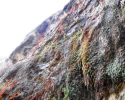
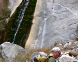
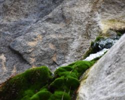
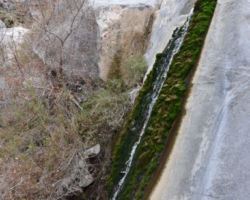
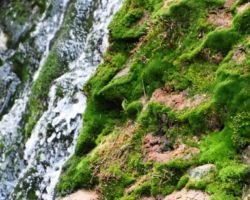
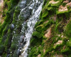
Above the first falls, the canyon opened quite a bit into a series of broad bowls. The creek was continuously on the surface, and the jets were less frequently able to broadcast up into this upper region of the canyon. It was very quiet. If properly equipped, and 30 years younger, it would have been cool to just keep walking and scrambling up as far up this canyon as one could. In reality, I was much pleased to see the upper falls. It too lacked the freefall characteristic of most “waterfalls”, but it had a unique growth of intense green algae along its edges, making for a very picturesque setting. A celebratory beverage was in order.

Tom and I had been gone more than an hour by the time we were in shouting distance of Bill who had waited for us at the grotto below the rope assist. We wallowed down the draw all the way to a spot near the rigs and humped up to the top of the rock river. I was in dire need of a celebratory beverage as this had been a good hike with some pretty good elevation gain up into the canyon. Would have been cool to get an early start and really see how far we could have gotten, if we had any climbing skills, were 30 years younger, 30 pounds lighter, and had some other experienced people with us. You know what they say; going up is easier; it’s the getting down that gets a bit puzzling.
With a great day behind us and a reasonable amount of exercise, we were all excited for a soak, but unable to solve quite a pickle of a predicament. We really wanted to be in the hot tub, but we really wanted cocktails too. What to do; what to do. Being the scientists we are, we decided we must do both. Cocktails were mixed; refills in hand, briefs nowhere to be found. The water was exceptional and the setting sun put on quite an evening show. The boys were feeling plenty good, but the entertainment was just beginning.
The guide book written in 1995 warns potential future visitors that this has been a clothing optional area, basically a nudist hangout. Most people we saw were in robes going to and fro; tent to tub, tub to rig and such. Most, but not everyone was naked in the tubs; of course the younger better looking girls were less naked than others. However, as we were soaking in our tub, a tall slender, shapely gal strutted across the playa from the other tub to a vehicle parked some 100 feet from us. Turning around at the rear of the vehicle, such that her back was to us, she bent over at the waist and filled a cooler patiently and intently, such that she could have been using the occasion to stretch her back and Achilles. The exhibition had reduced our outrageous laughter and frivolity to a mutter and heavy sighing. The boys were perplexed; froggy was about to explode.

The thirst raged and Steve went back for more beverages. He brought back an entire cooler to our hearty cheers. We were back to much laughter and tomfoolery, tripping on the day turning to twilight, when what do my eyes perceive, but the tall, slender, shapely gal returning. Her stride was that of a runway model. They were long, slow, purposeful strides. She came back to the same spot, assumed the same position, and just about brought the house down. My goodness, she was put together. As she strode back to her tub, we decided enough was enough, and headed back to camp to recover from the long, eventful day.
I think Steve cooked this night; outrageous pasta and a few beverages again put me down early. My sleep was OK, the skies were cloudy, but the temps were very reasonable. Our last day upon us, I felt like I had to make the trek to the lower pools and see a little more of the whole place. The breakfast was again monstrous with leftovers galore. It just about put me back in the tent for a rest. The jets were soon screaming above us, and perhaps motivating us for some local exploration. Bob was determined to walk the road above us to check out what was rumored to be another set of hot springs. It sounded far too adventurous for me.

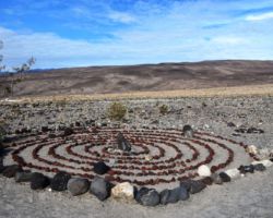
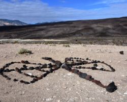
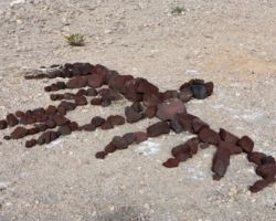
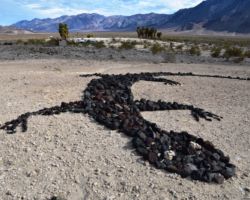
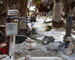
Steve and I packed up for a walkabout and waddled half mile or so to the lower pools. We could see now how much rock work people had done to line paths, line the roads, random artworks, protect vegetation. After talking with some people who had been coming here for years, this was an uneasy arrangement between the National Park, and a motley crew of volunteers. It is certainly unique for a National Park to allow basically a nudist camp within their borders, but this is a very remote and difficult to get to place, but still.
It is also obvious that these volunteers do way more than most National Park staff. The place didn’t have a spec of trash. The springs were very well maintained, the tubs cleaned daily, the grounds meticulously cared for. It clearly was a labor of love to keep this area in good shape, not only because that is what should be done, but to also keep the National Park from having an excuse to come down on it. There are now three nice outhouses with shelving for toilet paper, paper towels, a variety of hand cleaners, soaps, and cleaning supplies. There are a couple of outdoor showers set up with privacy, but also with tons of soap, shampoo, and cleaning supplies. It is by far the best supplied and maintained place I have been to.

We found a couple couples in the main pool at the lower springs so opted for a shower and soak in a smaller tub near the shower. The vegetation was thick and it felt quite tropical tucked in the greenery. We wanted to get in each tub before we left, so we eventually had to join the other folks just to get the experience. The one couple from upper Maine left shortly thereafter, but we had a good talk with the other couple from LA. It was her first trip to DV and she was really cute, funny, and unfortunately swim suited up. Her boyfriend had been here a number of times and done some extensive 4 wheeling, including Steel Pass, and the insanely challenging Lippincott Pass up towards the Racetrack. My book says not only don’t drive Lippincott unless for some reason you have to, but have an experienced driver, and short wheel base rock crawler, and only do up the Pass from Saline, not down from the Racetrack. Of course, this young buck had come down it with spotters walking alongside the rig warning of rocks and high ground, and the edge of death. No bueno.
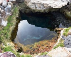
We had just gotten out and wandered about the find the third tub. Just as we were getting in Bill and Tom joined us. This tub was outside of the grotto, but surrounded by great stonework, beautiful tile, stone benches, and seating in the tub. What a place. It also was near the hot spring itself, where it emerged from deep below the surface. Not too far away was the main caretakers setup; trailer, solar panels, generator, a variety or rigs and equipment. It really is an impressive effort. This being our last night, we waddled back up the hill to camp. Bill was cooking so we left him to his chores and headed back to our pool for a last soak.

As we passed a huge camp with a number of tents, vehicles and people, and possibly dogs, I made it a point to catch a guys attention. Although they were many, they seemed rarely outside as we passed by. They didn’t make much noise or anything other than occasionally some music, which for the most part was not too loud, didn’t go on too long, and was very appropriate for the setting. Last night when we were in the tub, watching all the glorious scenery, they were playing a great string of Dead songs. This of course made Steve euphoric, and just fit perfectly for a perfect evening. Not everyone in earshot was as pleased, so I wanted to let them know how much we enjoyed the tunes.
While most enjoyable, this soak was overshadowed with thoughts of the end of the trip, the turn in the weather, the drive out, and the long drive home. We had wanted to head out North Pass, not only to make a loop and not retrace our route in, but because we needed to head North up 395 to get home. The focus on North Pass, being 1,000’ higher and therefore a tad more risky, concealed the concern of driving 395 in a storm, let alone giving the storm all day to wreak havoc in the high country before trying to cross the pass that evening. With the growing darkness, strengthening wind, and heightened concern about all we had to get through tomorrow to get home, we decided to not only head back South Pass, but to go all the way South and over 58 to avoid any Sierra passes. With age comes wisdom? Hopefully!

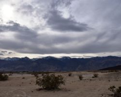
But first, Billy had prepared yet another feast and I damn near ate myself sick. The breeze was present off and on. We did a pretty good job of packing up everything we didn’t need and organizing what we did, so that tomorrow morning could be as quick and easy as possible. The sky was dark with cloud cover which raised my concerns about the next day’s drive all the more. The breeze didn’t help. Maybe I just went into my cocoon early to prepare myself. It didn’t really help. The breeze turned into a gusty wind, the local mules decided to raid our camp and try to get what they could, and a late night/early morning collapse of Tom’s tent made for a rough night. Fortunately, the morning was decent; not so windy, no rain, but it did come quickly.
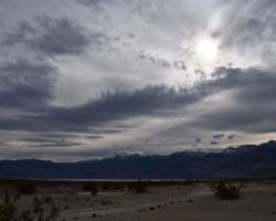
Bob was determined to get out early and thank god we did. We all were up and moving quite briskly by daybreak. We were packed and rolling by 8:00 or so. By the time we got to Saline Valley Road, it was dark again, the storm clouds making it over the Inyo’s and settling low on the Eastern slope. We made sure everyone had their lights on so we could keep track of each other as Tom was usually far ahead and Bill far behind. The climb up South Pass was slow and bumpy, and eventually wet as we began to climb out of the valley. I think we were fortunate to be in the thick cloud as we couldn’t see the shear edge as we topped the pass. I didn’t know where we were until we got up into the thick Pinyon forest and I knew we had crossed over both passes and were dropping down into Lee Flat.

I was much relieved to reach pavement and again expressed my praise of these vehicles. They can pound their way over rough rocky 4 WD tracks, through sandy valleys and dry lakebeds, then they hit the pavement and cruise at 75 MPH with a full load smooth, quiet, comfortable. They truly are remarkable machines. Tom and Bill decided they wanted to head back to Lone Pine to eat at the Alabama Hill Bakery and Café again, so we parted ways at the intersection of 190 and 136 and headed South, out of the rain, clouds, and storm edge. It was calm, clear, and comforting to be out of the Sierras. We gassed up near 14 and raged over the Tehachapi’s.
Unfortunately while we were coming down the Western slope, we watched a big rig, not 100 feet in front of us lose control on the wet surface, hit the center divider then careen up the grassy embankment, the cab just squeezing under an overpass but ripping the top of the trailer. These things happen so quickly, but so slowly and horrifyingly. Bob did a masterful job of following the car in front of us off an exit that just happened to be in the perfect place for us. It got us off the road way and out of the debris, and brought us up and around the entire malfunction, allowing us to reenter the road below the wreckage. Miraculously, we didn’t see another vehicle involved in the accident, and with the cab fitting below the overpass, it was basically undamaged. Goodness, how things can happen.

Perhaps feeling like we needed to again put ourselves in harm’s way, we stopped to eat at a scary strip mall burger joint that was run by an intimidating Ukrainian mobster. The place smelled like dead things, sweat, fart, and bleach. Whatever was flickering on the grainy black and white TV was strangely fitting. I ate my food only because I was afraid not to. If I was driving, I would have pulled over and purged like a dedicated bulimic. The food agitated me all the way home, but we made it with neither oral nor anal explosion. We made great time and had a little daylight left as we unloaded at my place. It was strange to be gone for so long but to feel so clean. Hot spring camping definitely has its advantages.
Find this Spot
Saline Valley Photo Gallery
