Burnside Lake, El Dorado National Forest
Trip Date: July 10, 2019
We had decided to get up to the high elevations and camp out of the canoes as a practice run for a possible future boat camp trip to Lake Ahjumawi Lava Springs State Park. Bob, Mike, Steve, and I headed up to Lower Sunset Lake, just outside the Mokelumne Wilderness at about 8,000’ elevation. I had been up to these lakes several times, with Howard and Kathy when the kids were little, with Bob and Mike, Ben, Jordan, and Jenny, and more recently with Haley. It never disappointed. I was excited to camp out of the boat, get across to some sweet smooth granite that sloped gently into the lake, and soak in the cool water.
 Steve and I headed out with Bob close behind. We were making great time with very little traffic and not a speck of snow anywhere in sight. As we turned off Highway 88 onto Blue Lakes Road, and then onto Sunset Lake Road, we got a gigantic slap upside the head. The road was closed, as in gated. WTF? We pulled up to the first of the parked cars across the road, hikers I guess that went on ahead on foot, we saw a couple guys from the county road crew. I imagined they had taken some grief from just about every person that came up here to be so rudely stunted by the road closure and completely mystified at the reasoning.
One guy came over and talked to us and he explained that up above, there were 6 foot snow drifts covering the road. It was hard to imagine at this spot; no snow in sight on a beautiful clear summer day. But whether we could see the reasons or not, the road was closed and we needed options. Fortunately, this guy told us about Burnside Lake, not far from us, probably not a lot of people, and seemingly a good, if not only option. Upon referring to the map in my head, because I didn’t bring one with me because I didn’t think I’d need it because I thought I knew where I was going, I realized it was up a road I had long wanted to explore, so this was an added bonus. New lake, new place, new road.
 We headed back down the road until we got cell reception and called Bob. We were able to relay the circumstances and the new plan, and he on to Mike. Within minutes, we were off to our revised destination. Burnside road was only about 5 miles further down Highway 88 to Pickett’s junction, right in the middle of Hope Valley at the intersection of Highway 89 and just above Sorenson’s Resort. Within minutes we had a celebratory beverage and were heading Southeast on Burnside Lake road, parallel to where we would have been travelling on Sunset Lakes road. Isn’t life just a series of sequenced parallelograms?
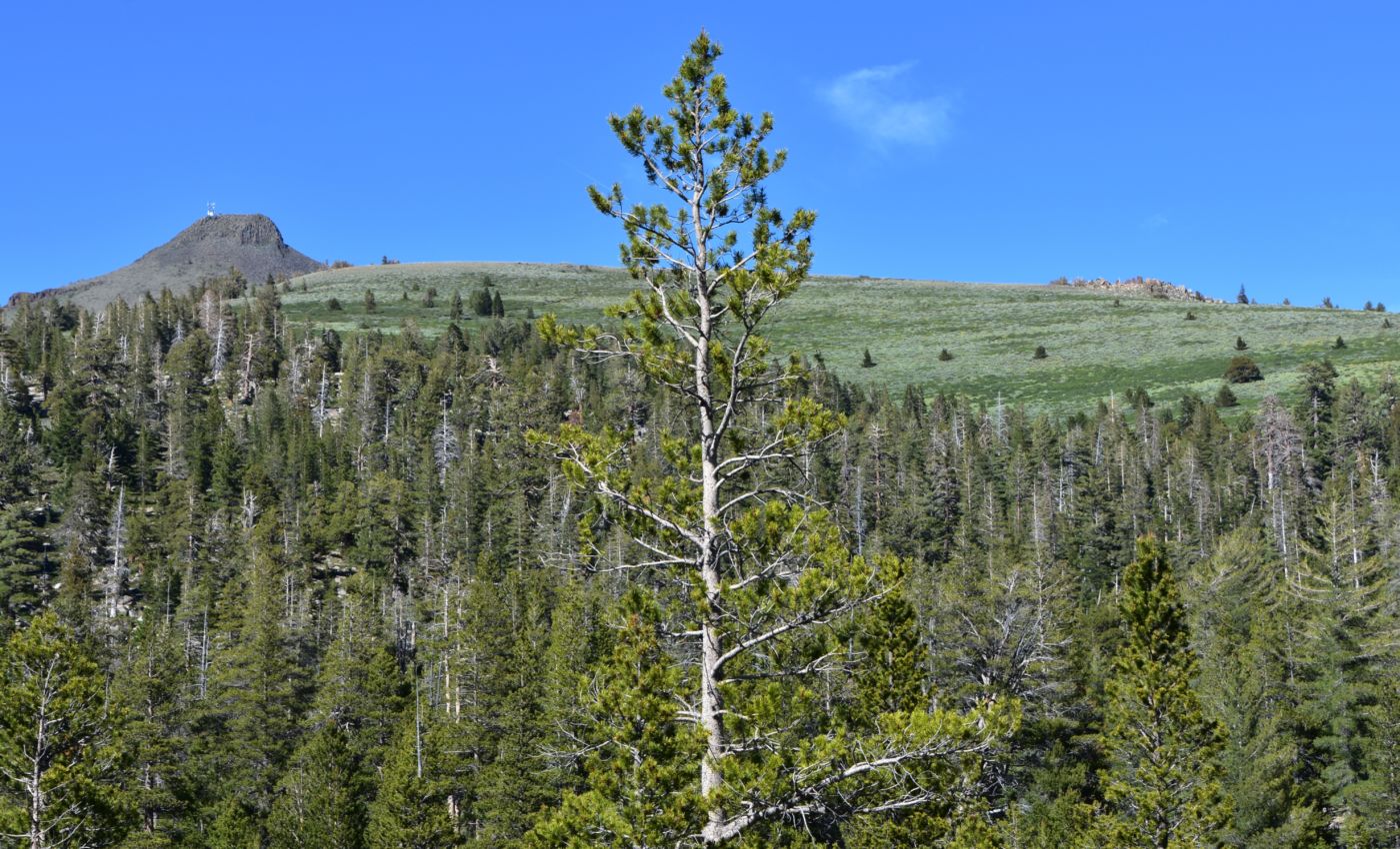
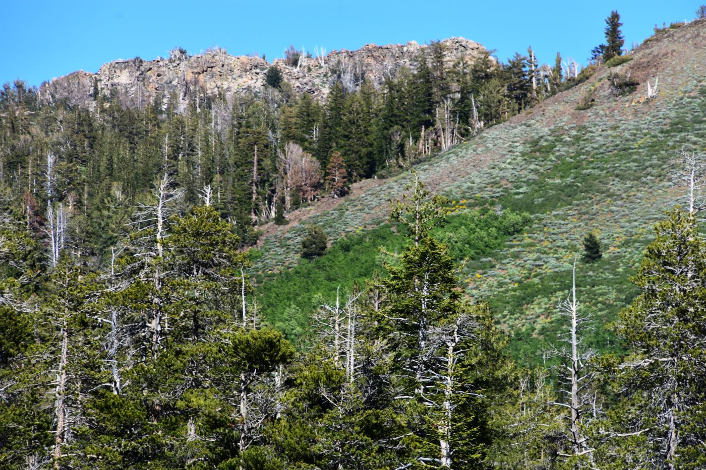
The road wasn’t too bad, but with our aging organs getting rattled and the canoe on the roof, we proceeded casually and cautiously up to the lake. We passed several inviting routes that seemed to lead up to the fire lookout, up out of the forest canopy into the sage, above tree line, where the vistas could be incredible. This is the area I had imagined after seeing the road on the map and Googly. I was sorely tempted to explore, but we had a lake to find and canoe trip, and camp to set up, or so I thought.
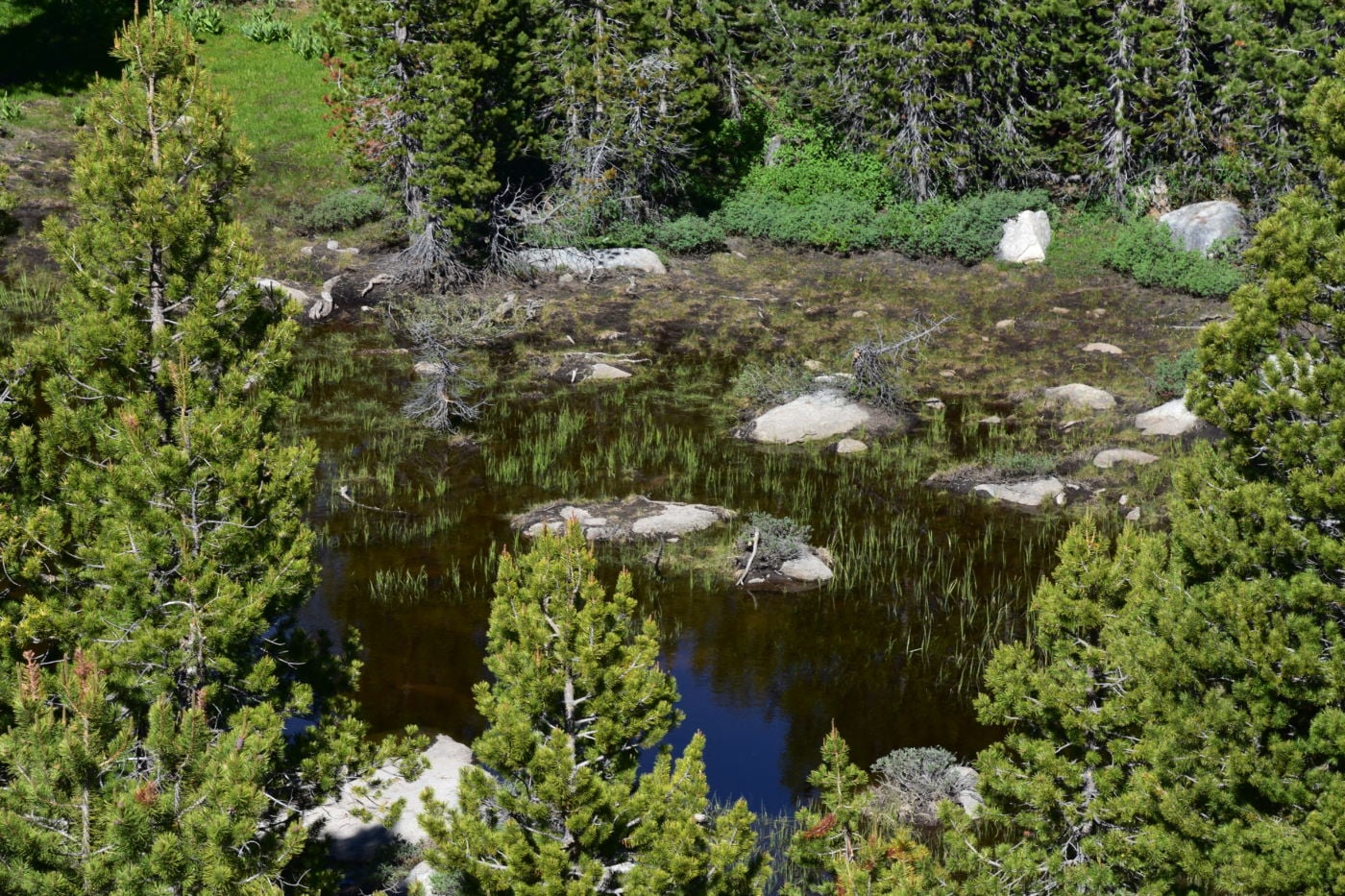
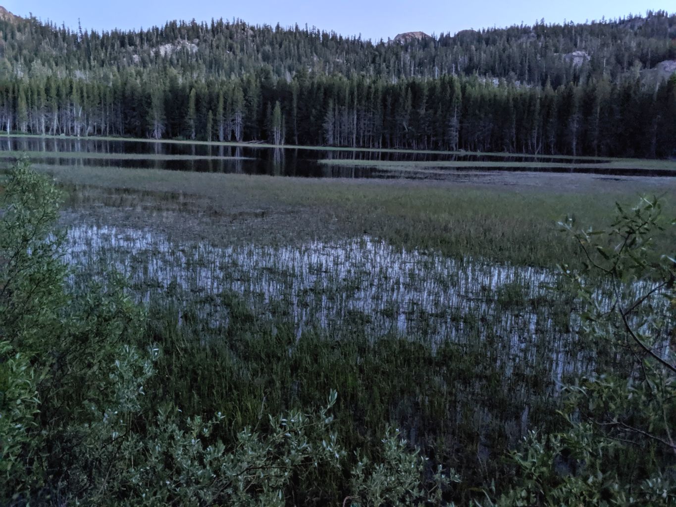
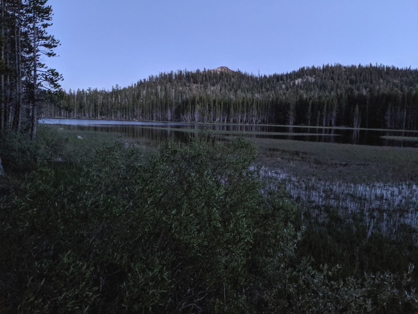
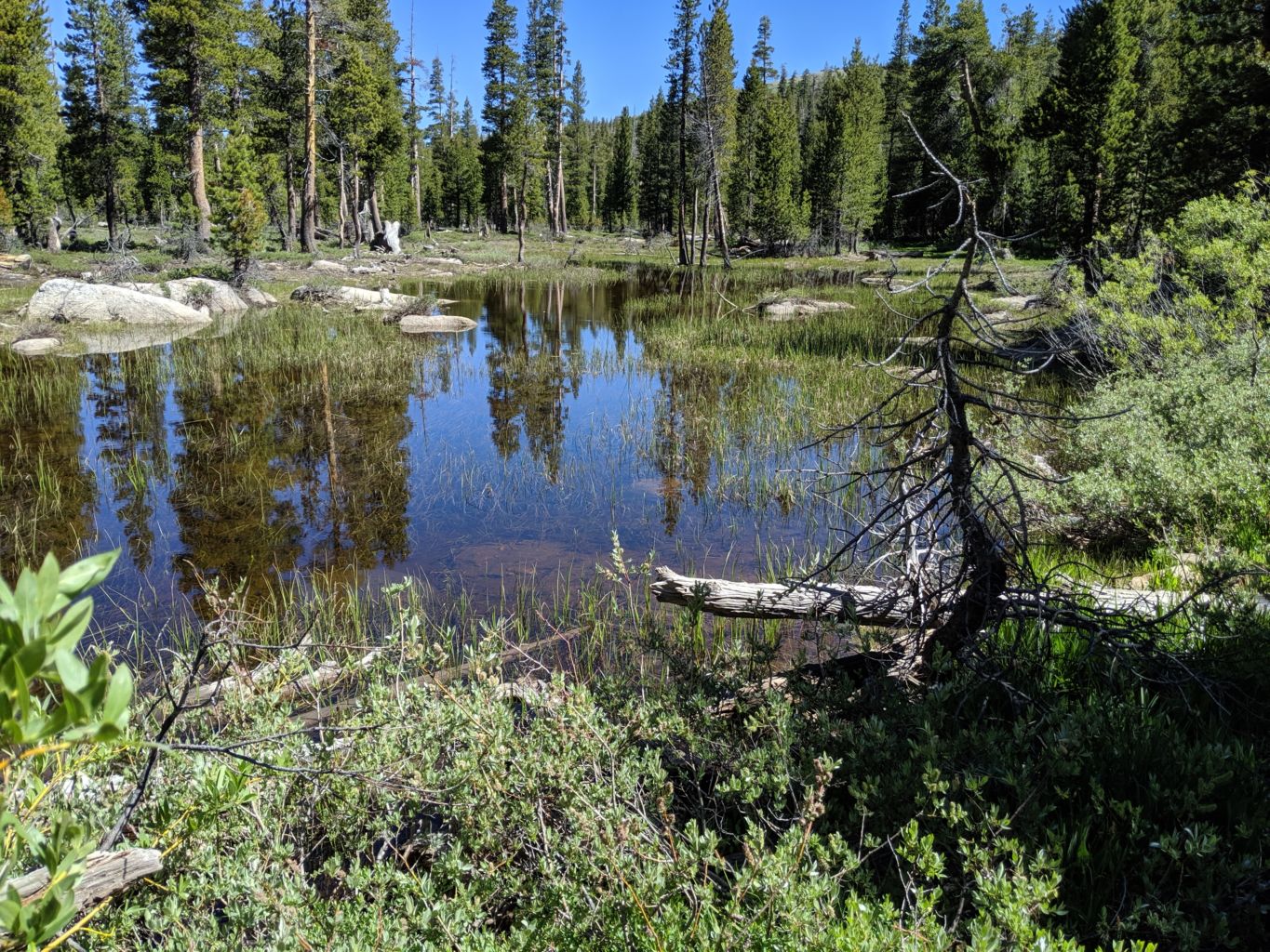
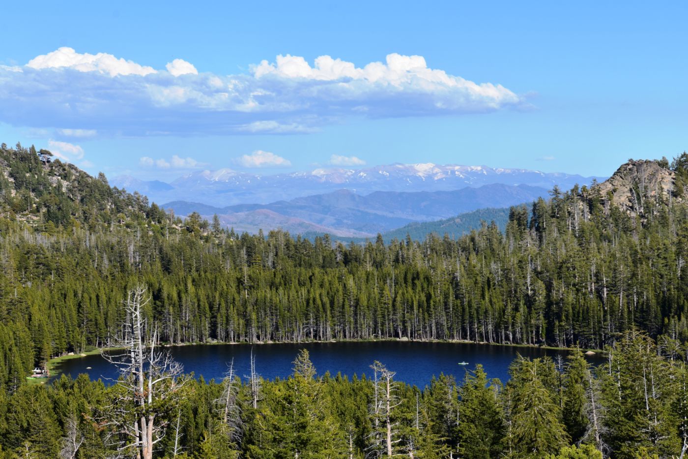
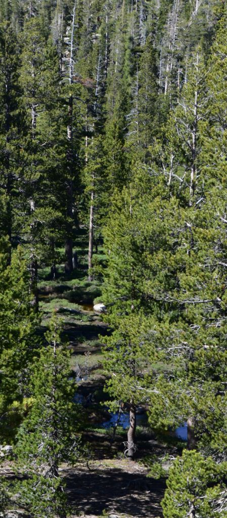
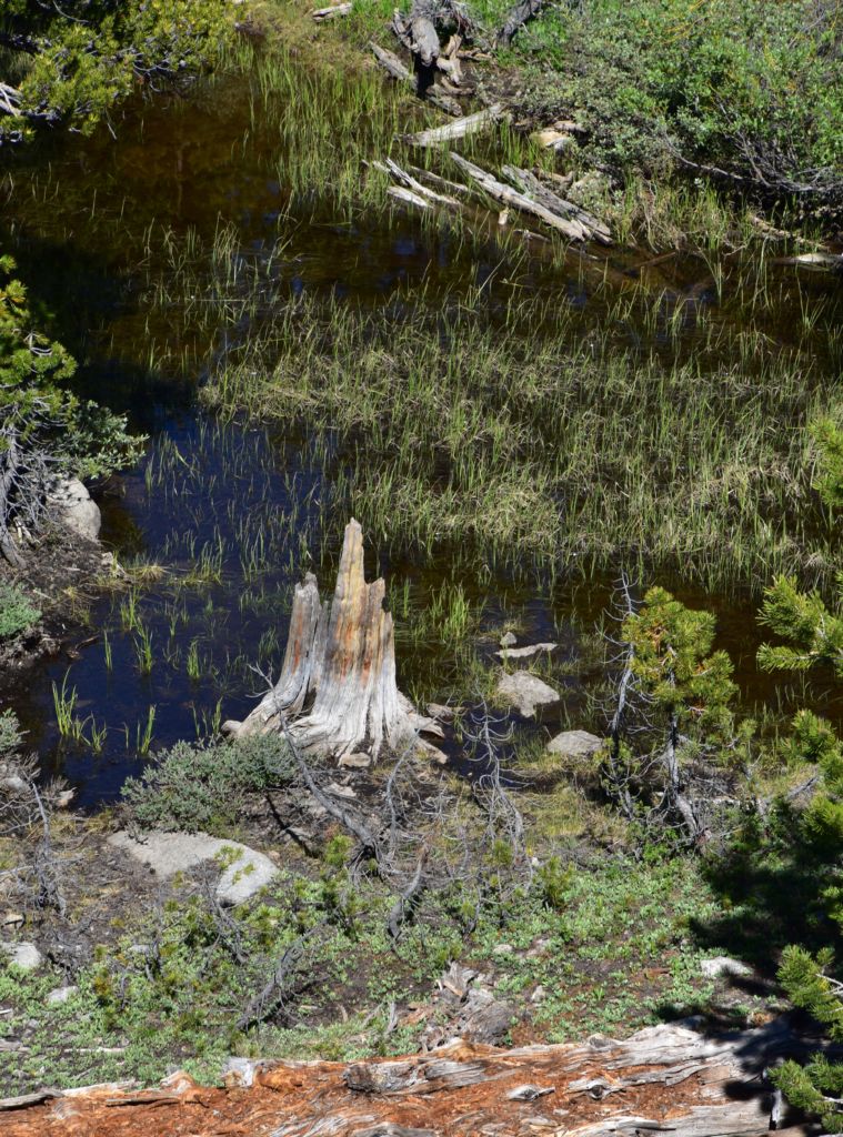
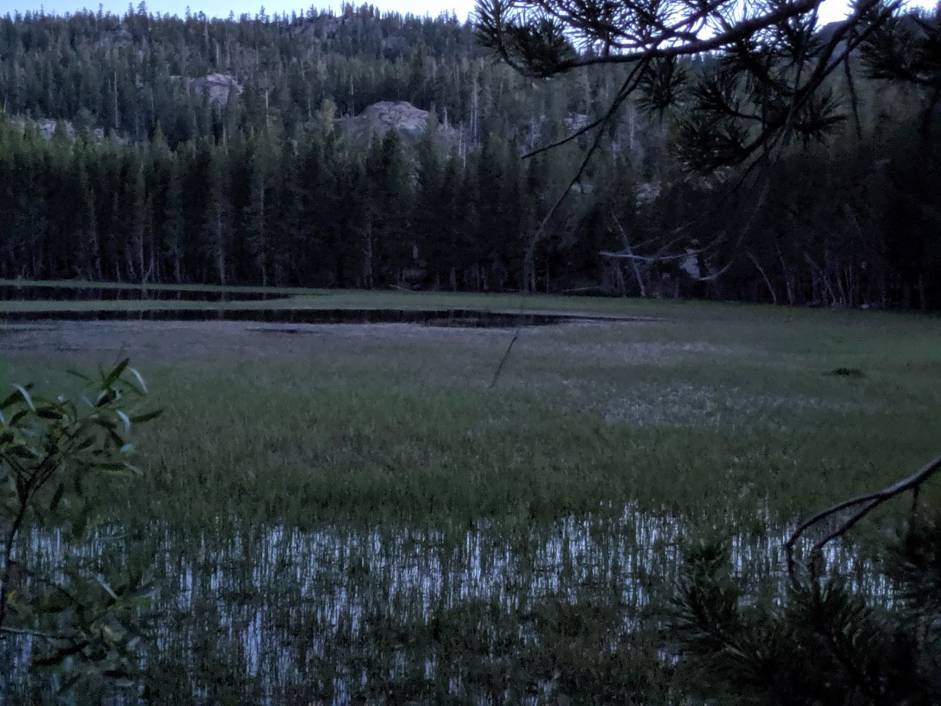
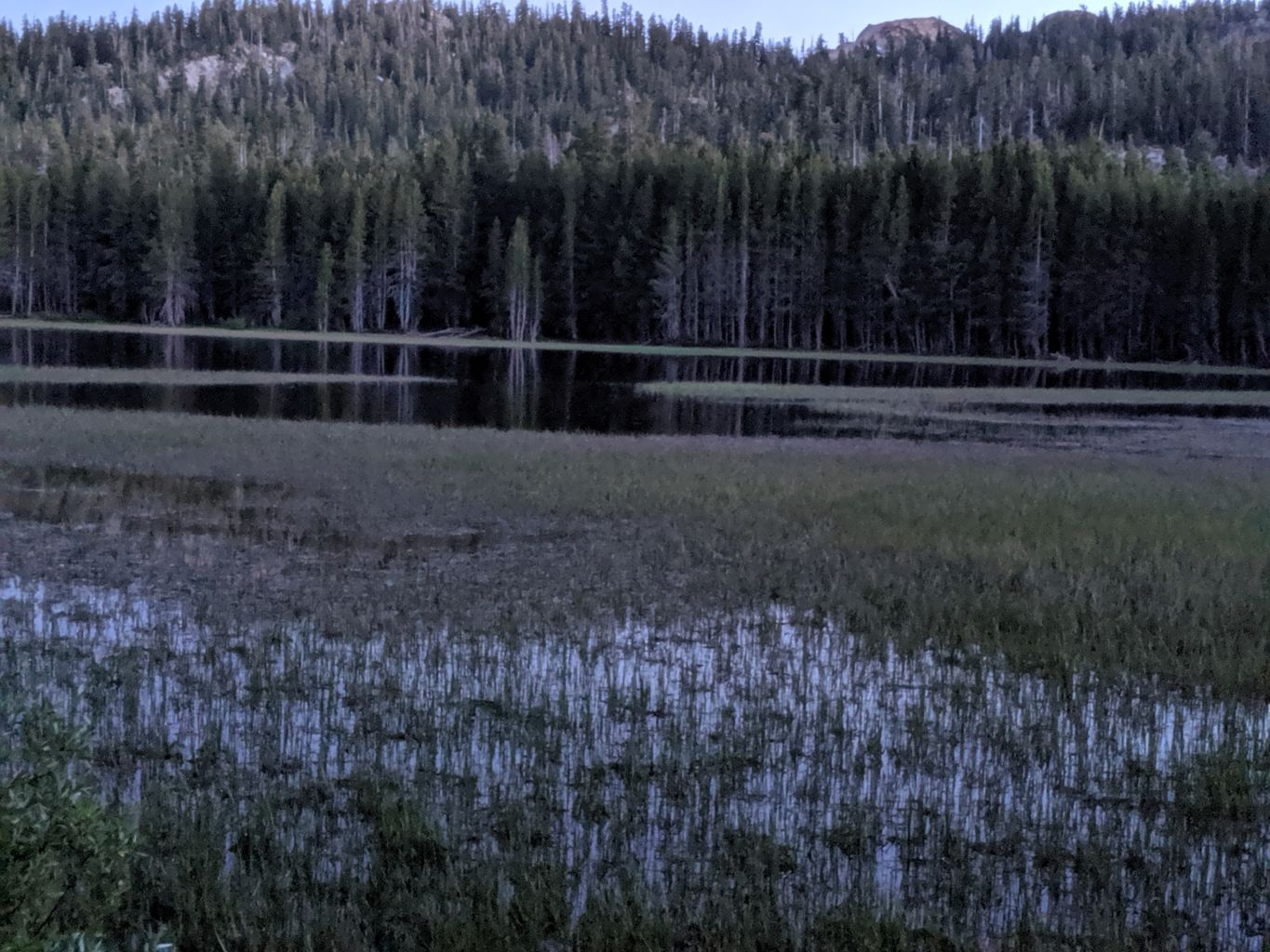
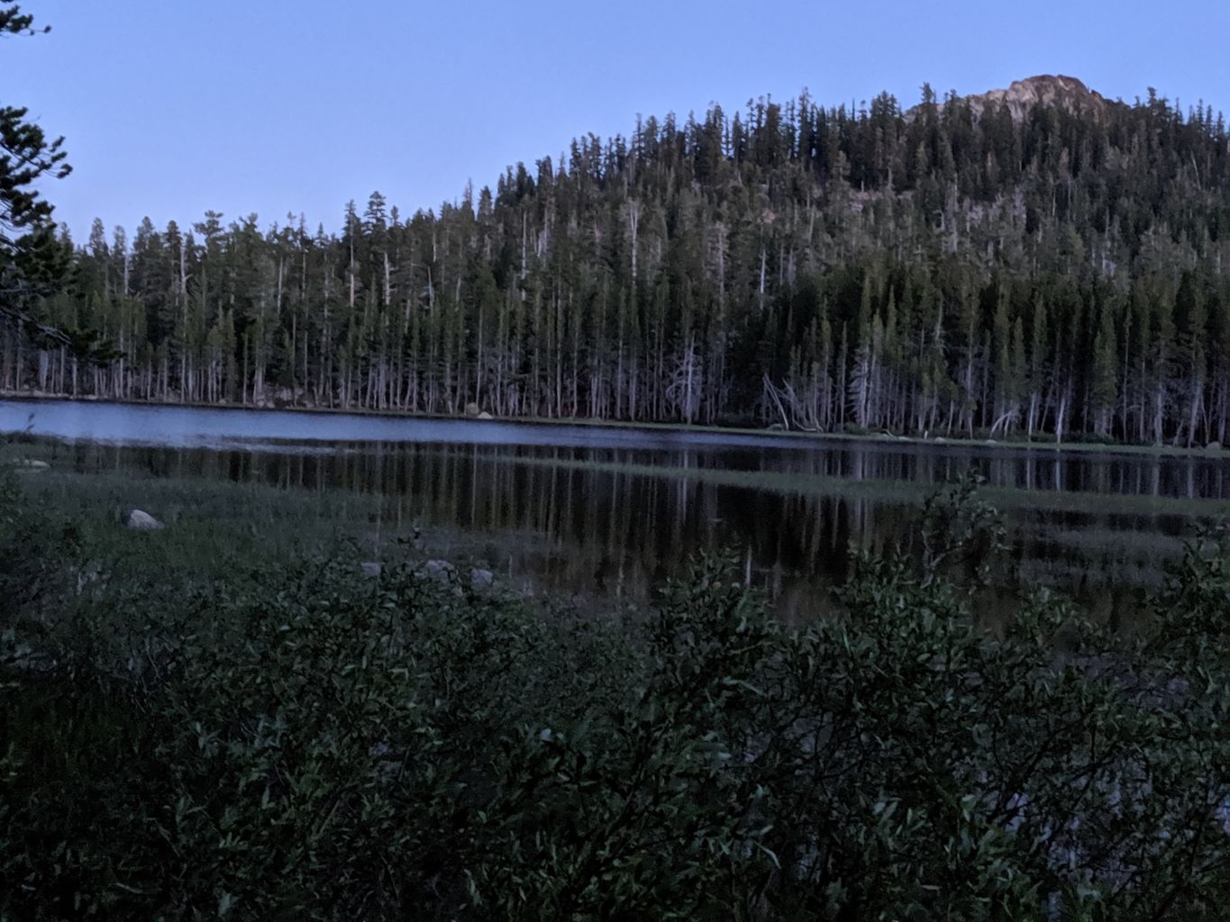
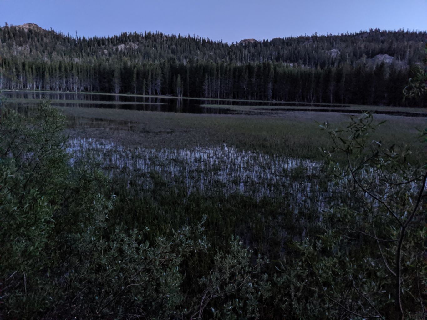
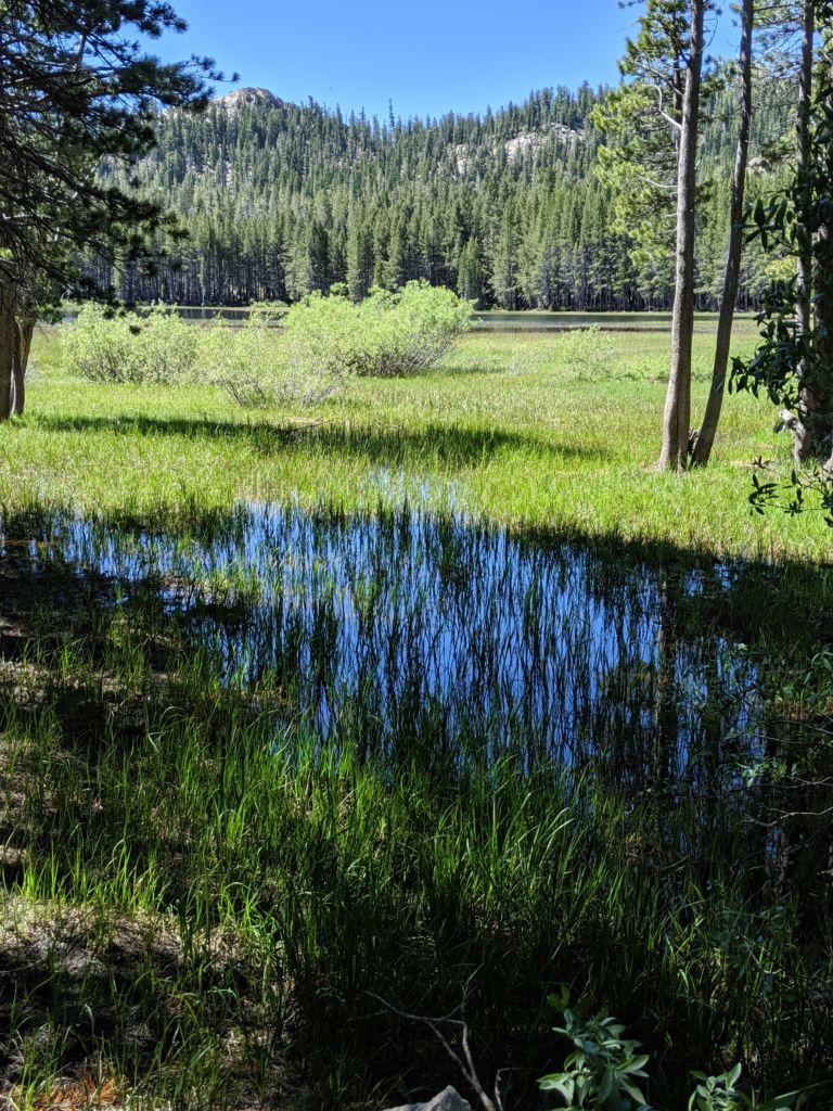
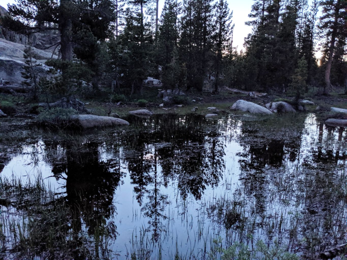
Finally getting lakeside, it was a tad disappointing. The lake itself was beautiful, a classic Sierra lake, rimmed with dense forest, partially covered in grass and lilies, a shallow lake soon to be more meadow and marsh as it slowly filled in with sediment. The shortcoming was the road only came along one side and was already inhabited. An FJ with a couple guys occupied a slopey spot alongside the road, and a couple young gals occupied the only acceptable spot at the end of the road; the only place you could get away from the road. Otherwise every yahoo that came along would drive right by your slopey spot and dust the hell out of you. Add the proximity to all visitors, the high prospect for mosquitoes, and the extreme likelihood of additional folks coming along, and we knew this was not the place for us.
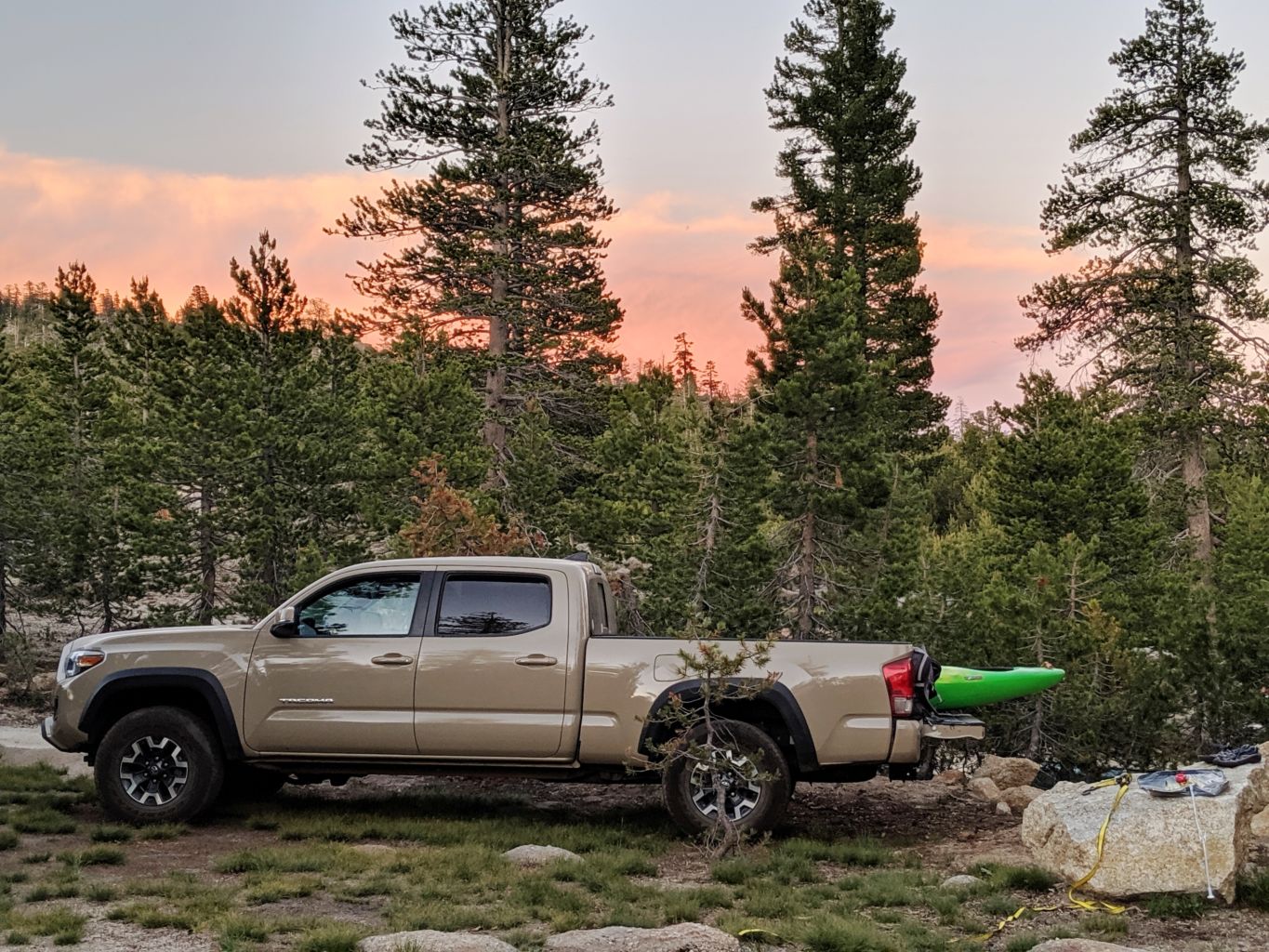
 We headed back down the road to the spot we first came upon the lake and took a road that headed along the western edge of the lake. This road ended in a swampy, thick, dark forest, probably more shooting range than camp spot. Back down that spur a bit and turning West again, we drove away from the lake, climbed a little rise, and up a steep drive, and were presented with quite a sweet set-up; plenty of open, flat ground, big pine and Juniper for shade, solitude, proximity to lake, space for tents, rigs, etc. This would do nicely. We would not be canoe camping, but this was a good recovery in a very respectable amount of time. We unloaded a few things just to make it clear someone was taking this area, and Steve and I headed back to the lake to meet the boys.
Since we had a minute, and the boat, we decided to give it a whirl, so we headed out in the canoe. It was fantastic to be out on the water, even thought the lake was basically an oval, near circular, without any interesting coastline, inlets, granite, boulders, or any such features. The water temp was quite perfect; not freezing, but plenty cool to be refreshing yet pretty easy to get into. Before long, we saw Bob’s rig and headed back to shore. In no time, he had come to the same conclusion we had as to the limitations of the lakeside accommodations, and he was quite pleased with the choice we had made. Incredibly, Mike also pulled up within minutes, so after a celebratory beverage, we led the boys to our site and began preparations in earnest.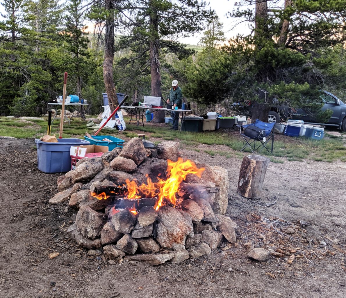
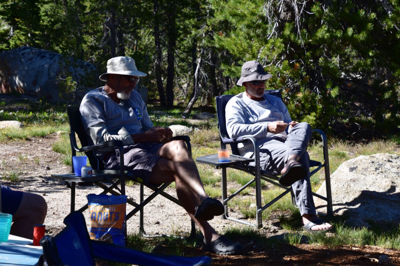
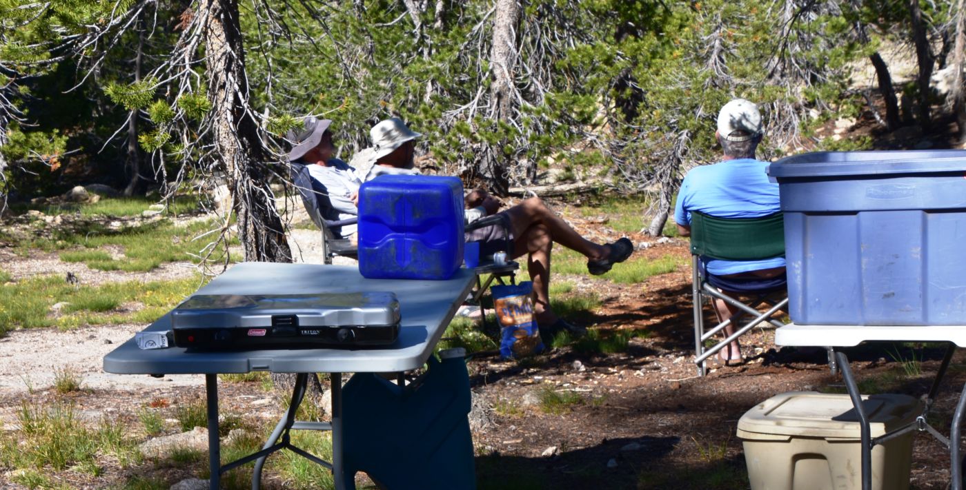
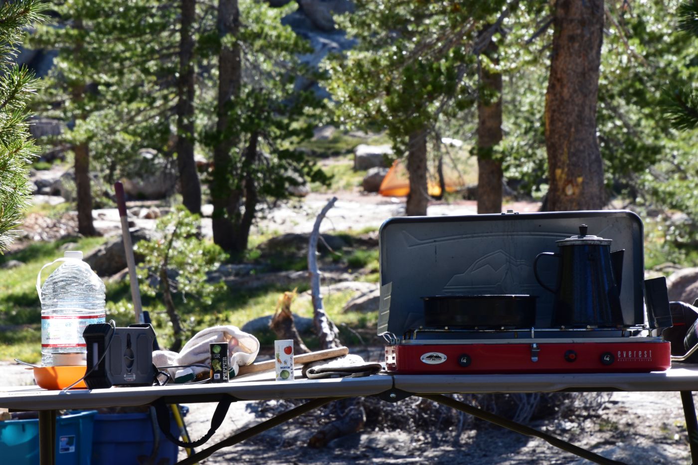
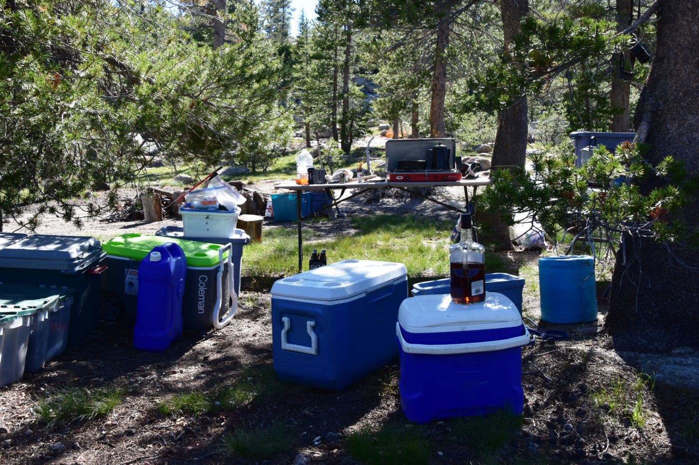
Camp was set up in no time; tents placed and spaced appropriately. The kitchen established, wood and fire/BBQ related items out near the ring. It was time to return to the lake and let the boys check it out. Bob brought his kayak down and we headed back out for a spin. We launched the boats in a tiny little access that was mostly free of grass and muck. A few feet beyond, the bathing beauties occupied a huge expanse of beach. What we initially thought was a baby turned out to be a little shit dog that came over for a visit and broke the ice. The 2 girls worked in South shore and were spending the days sun bathing and drinking Vodka until their boyfriends joined them later in the week. It was pretty cool that just the 2 of them were up there camping out, enjoying an alpine lake on their days off, We worked out a deal for them to keep an eye on our boats so we didn’t have to lug them back and forth to the camp and they could use them whenever they wanted. Such a deal.
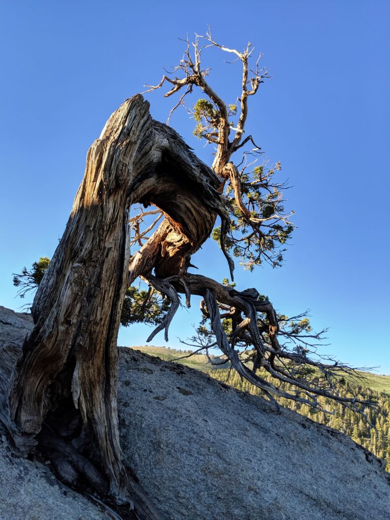
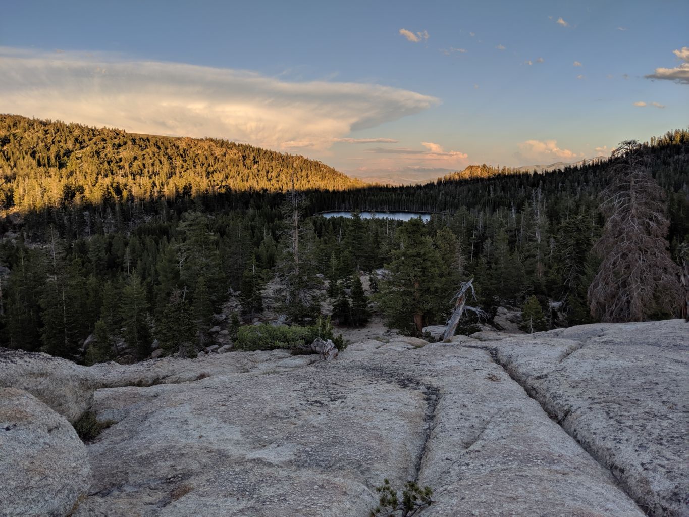
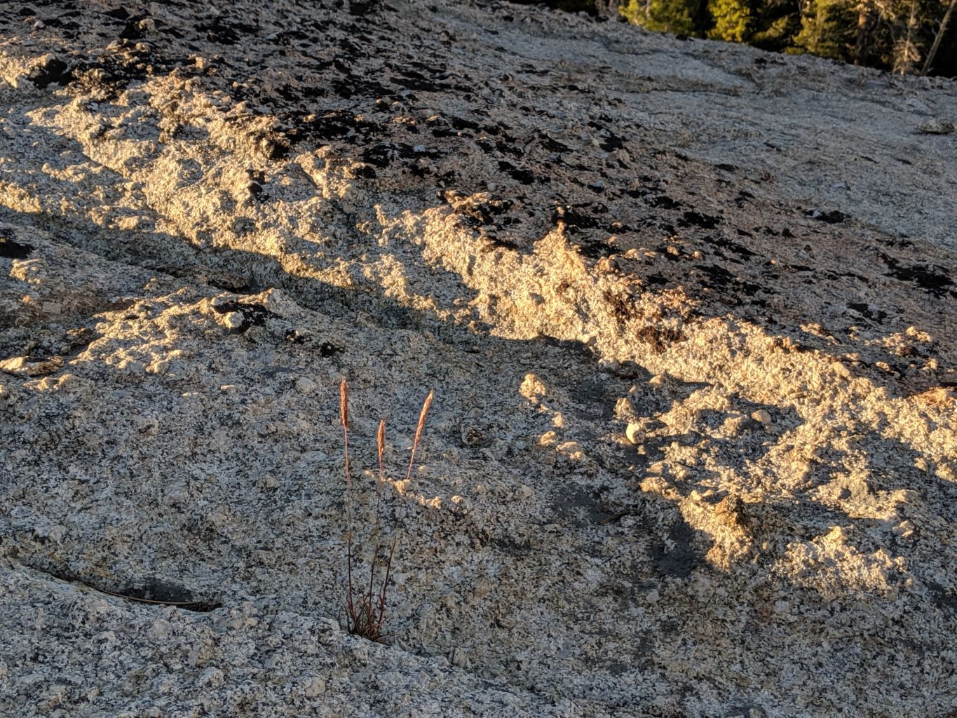
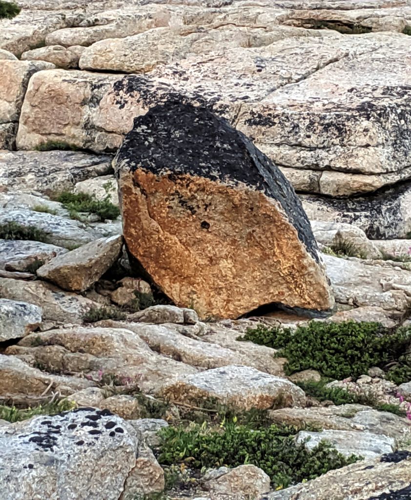
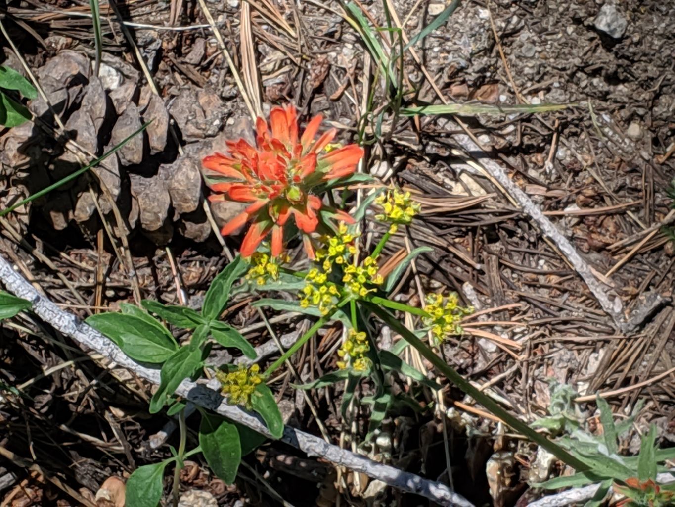
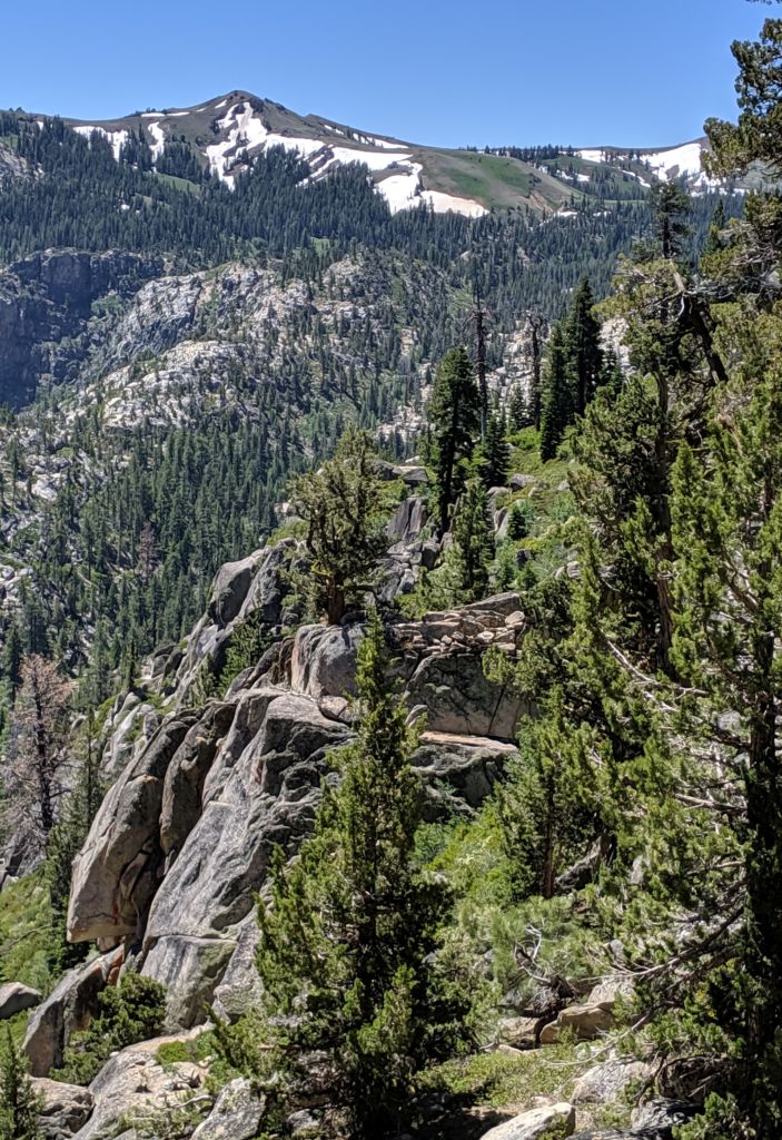
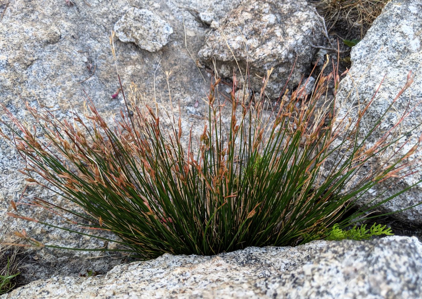
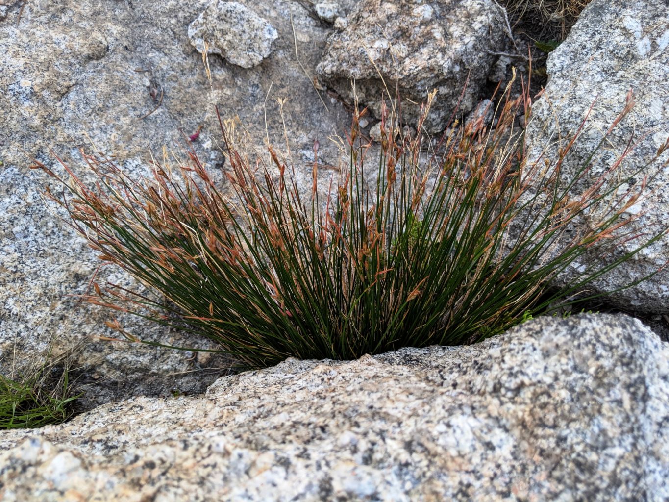
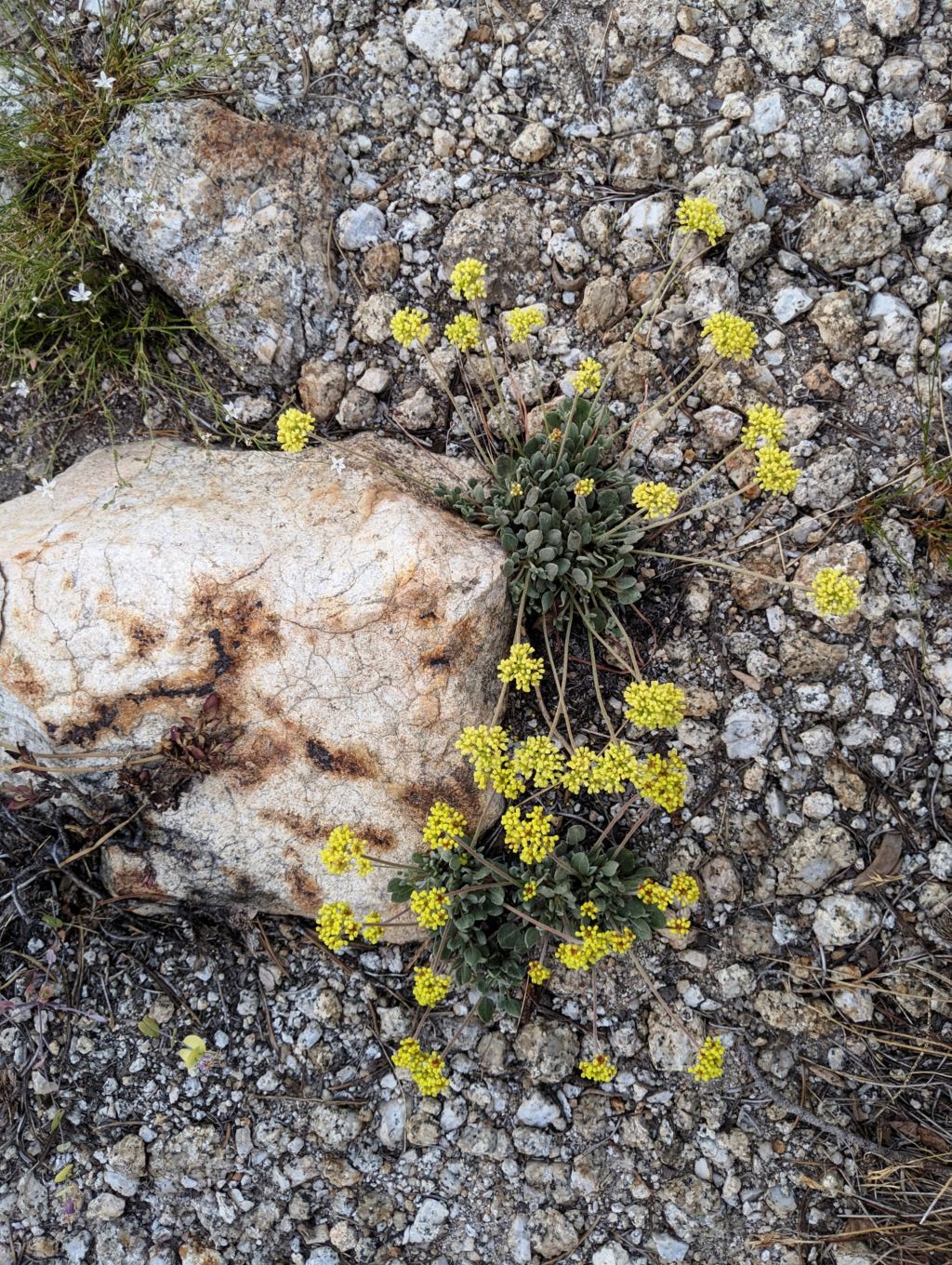
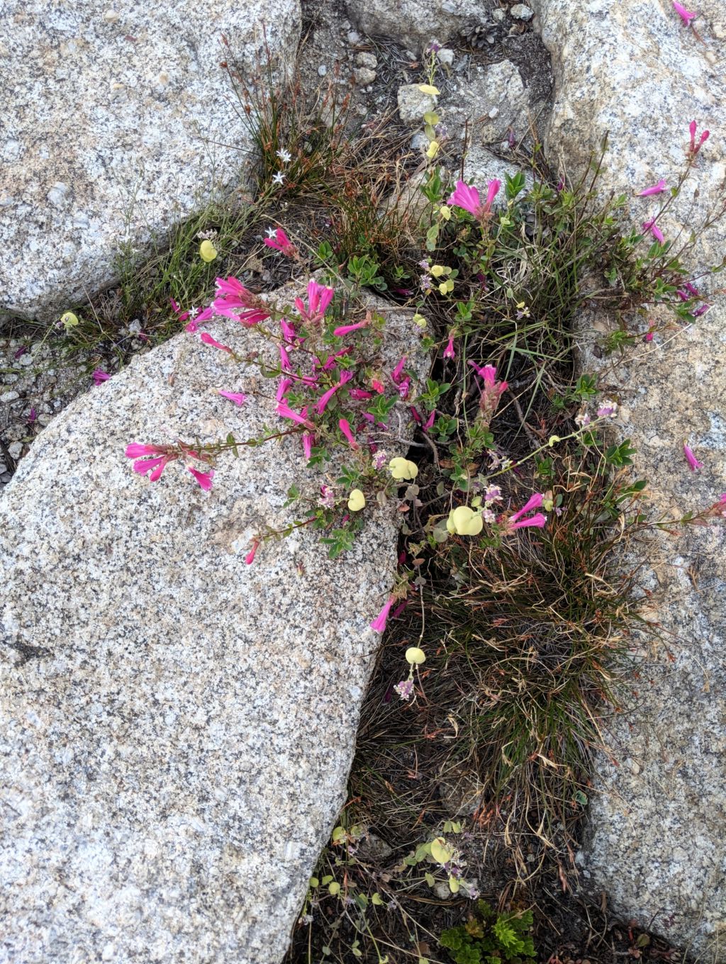
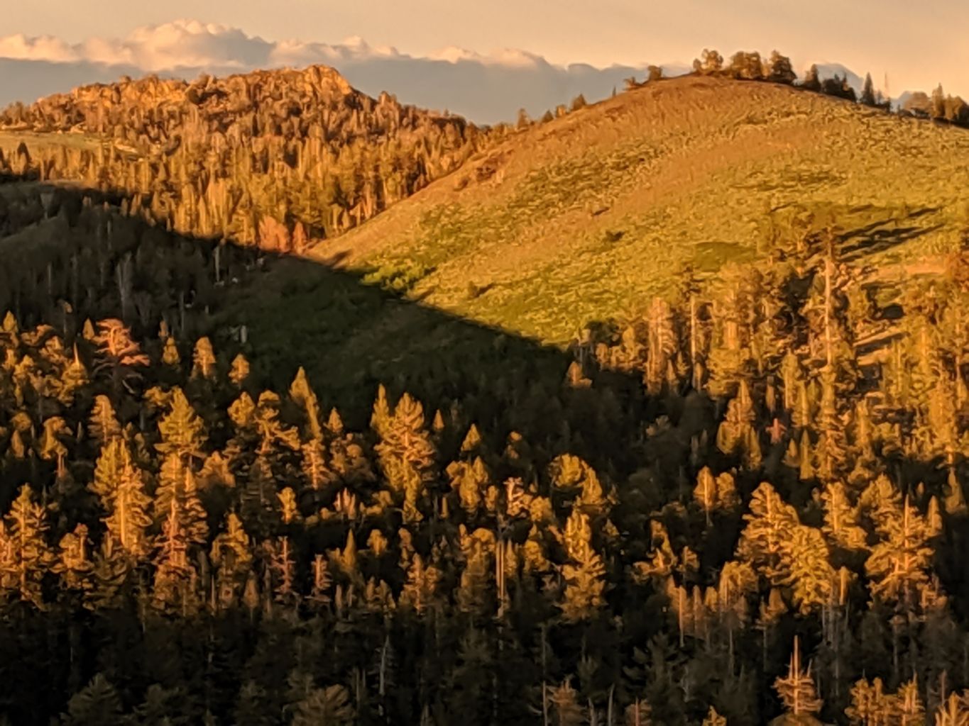
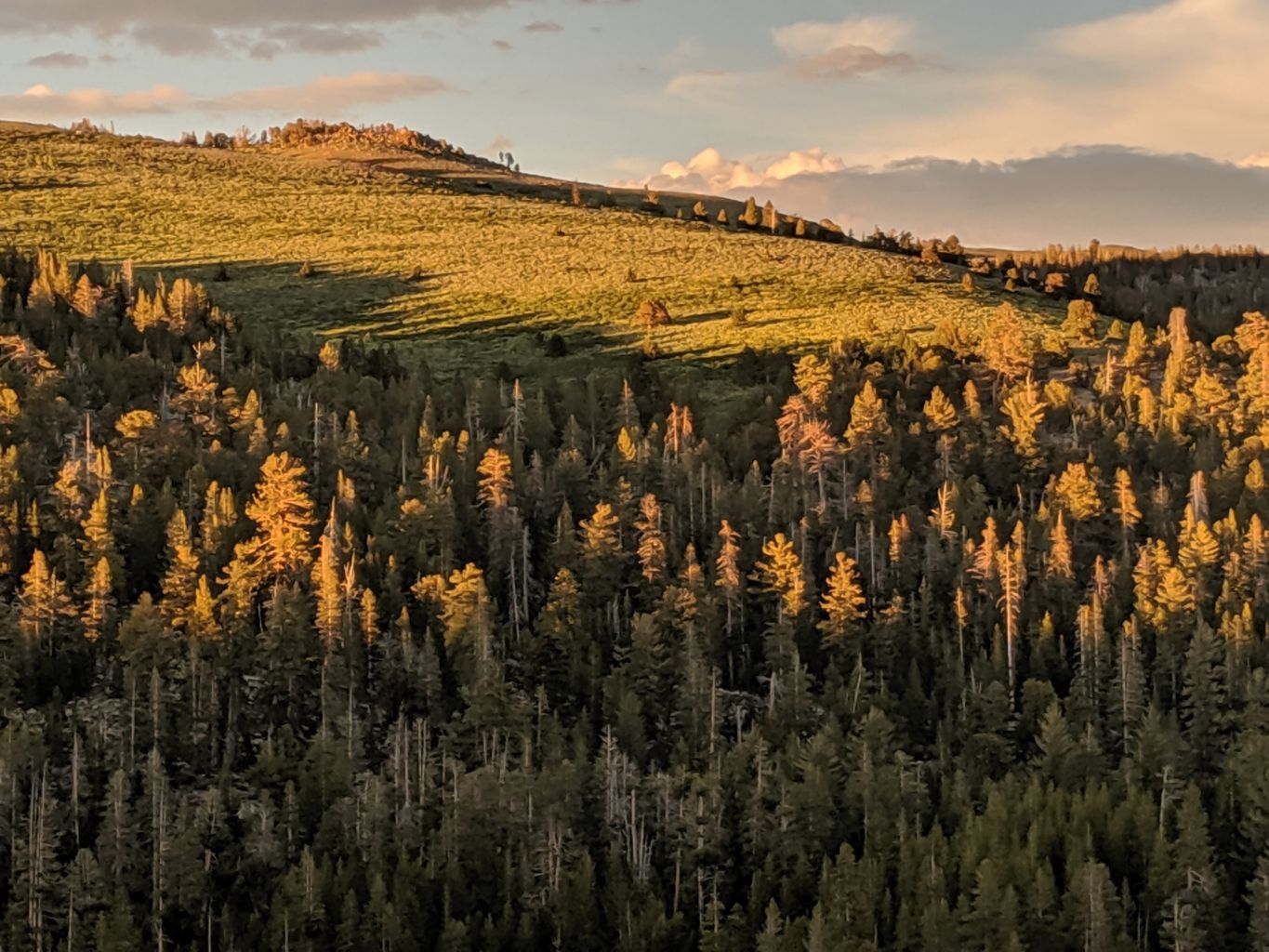
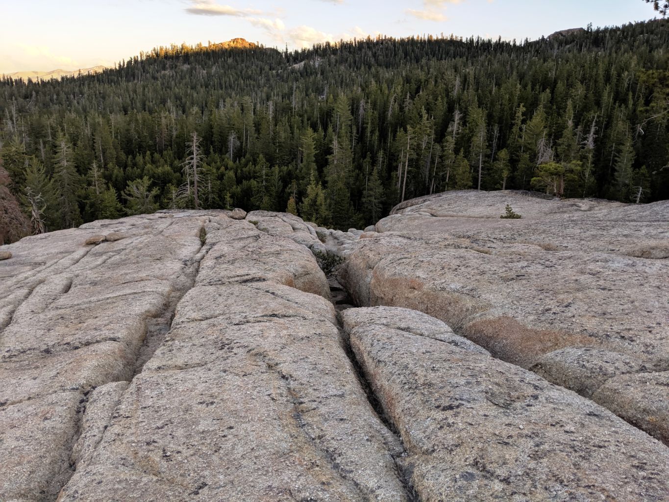
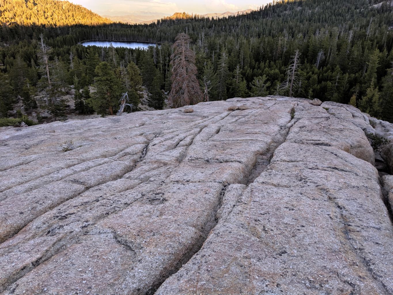
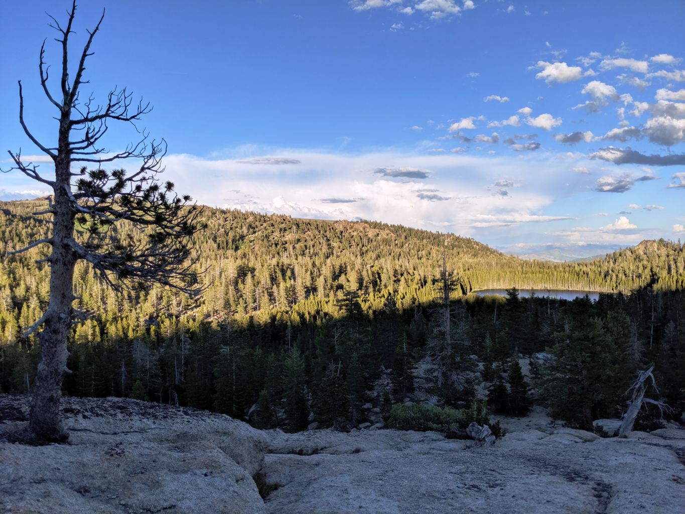
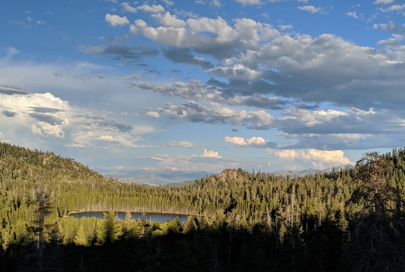
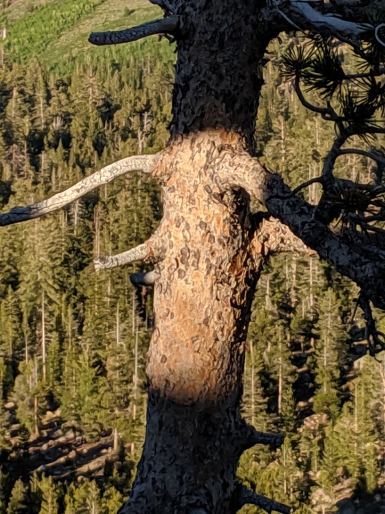
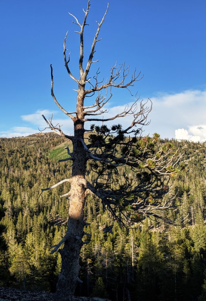
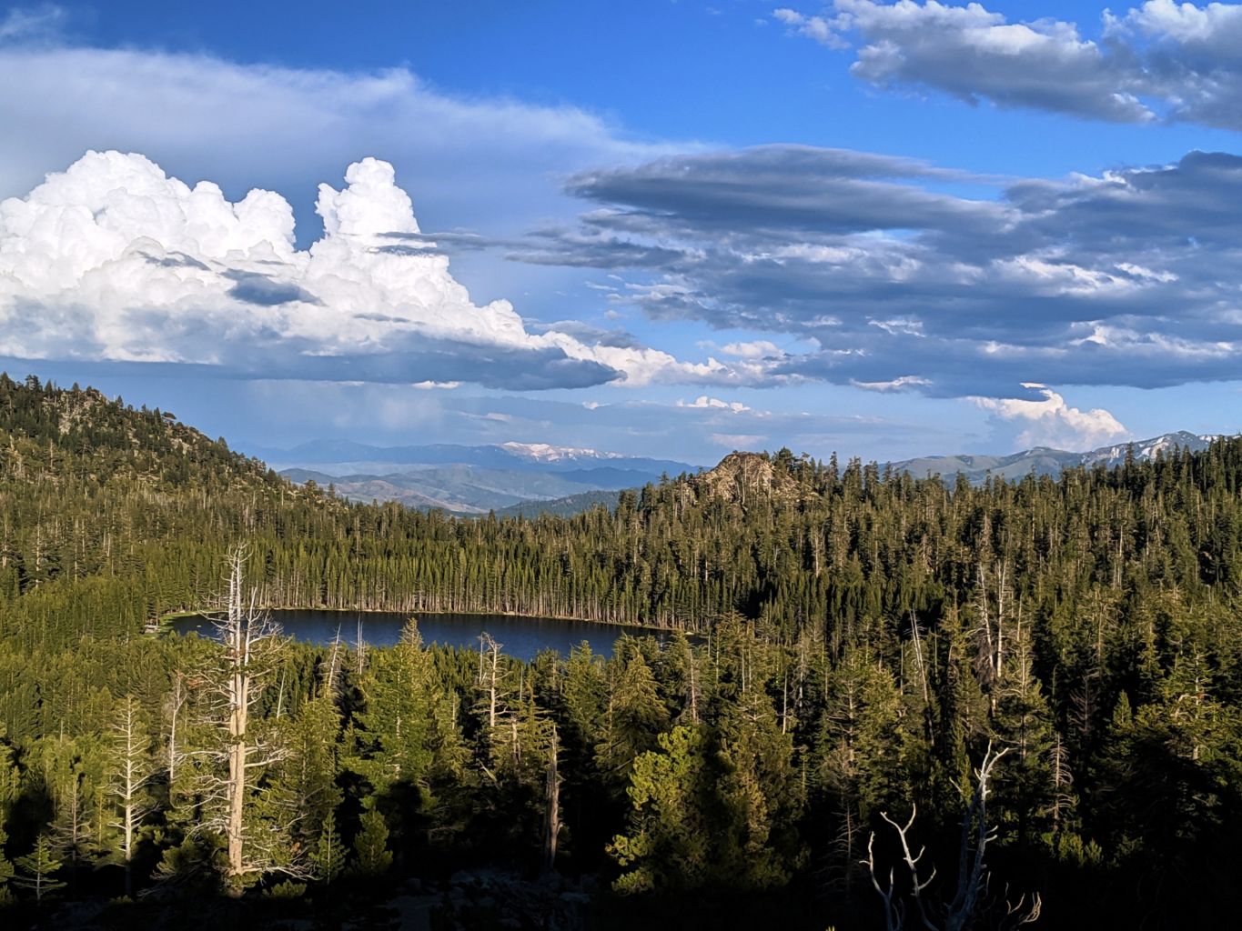
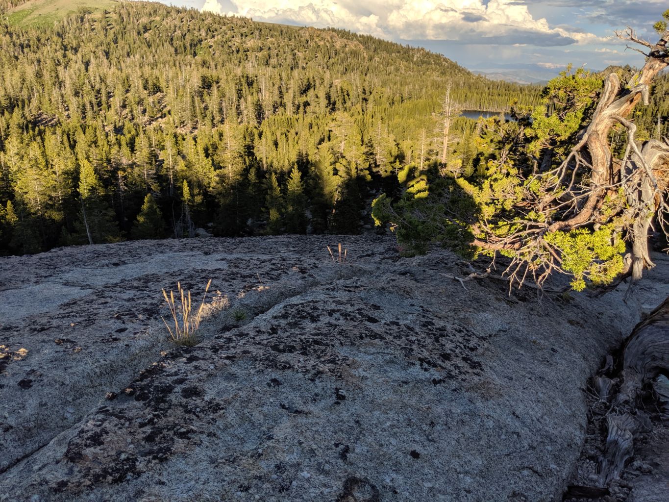
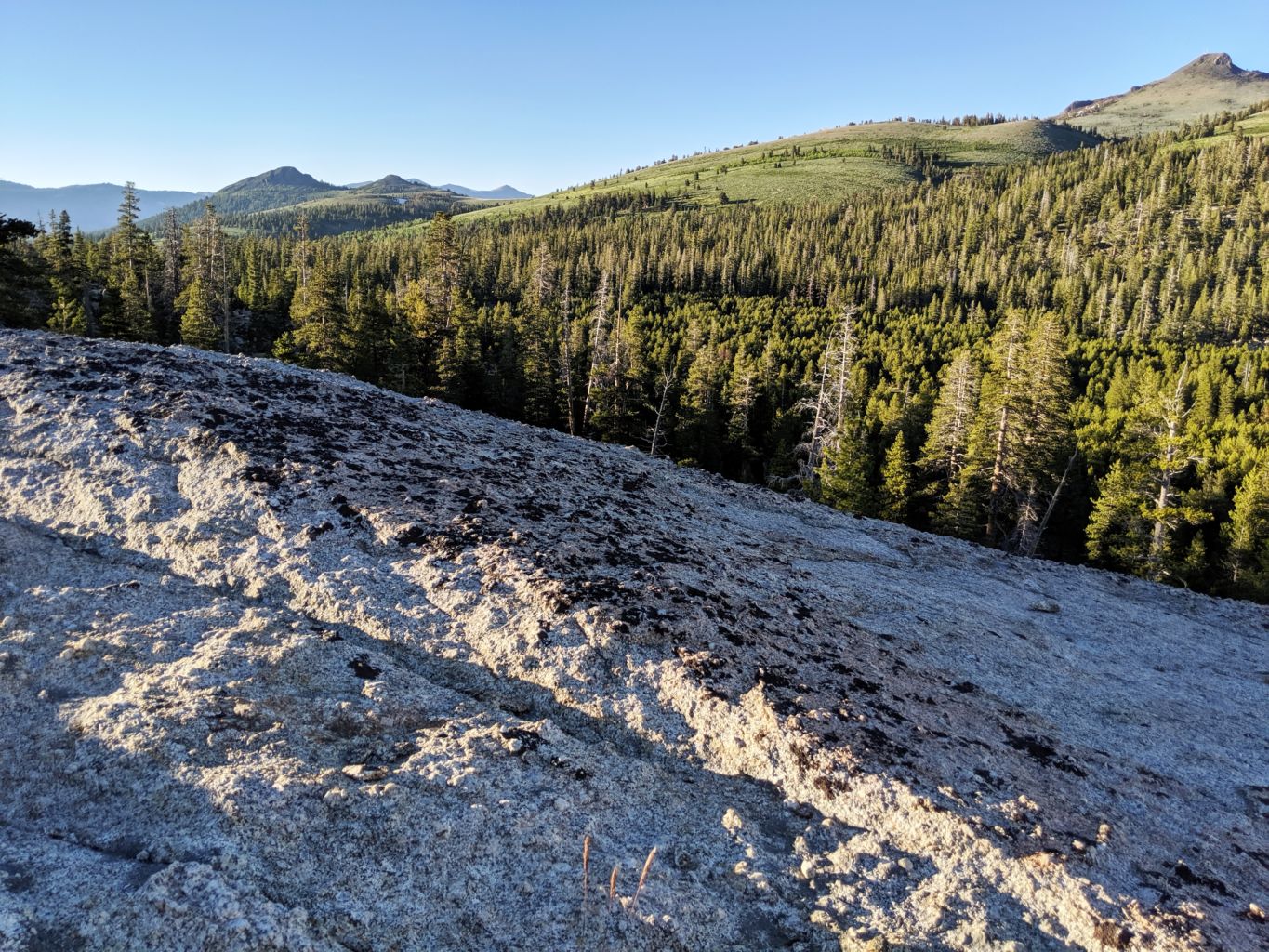
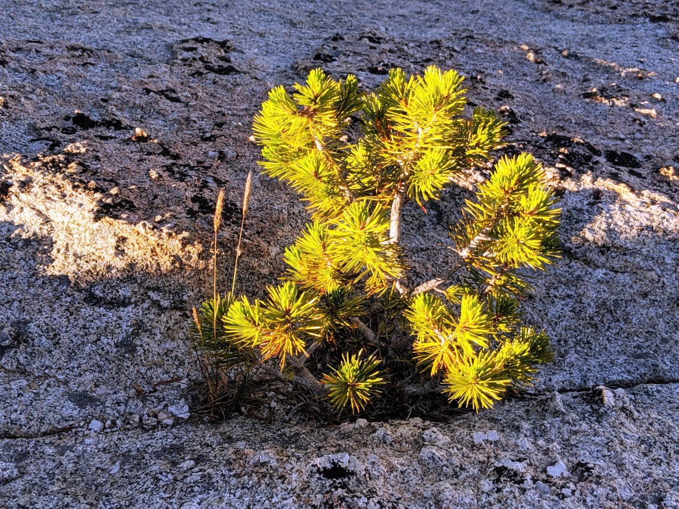
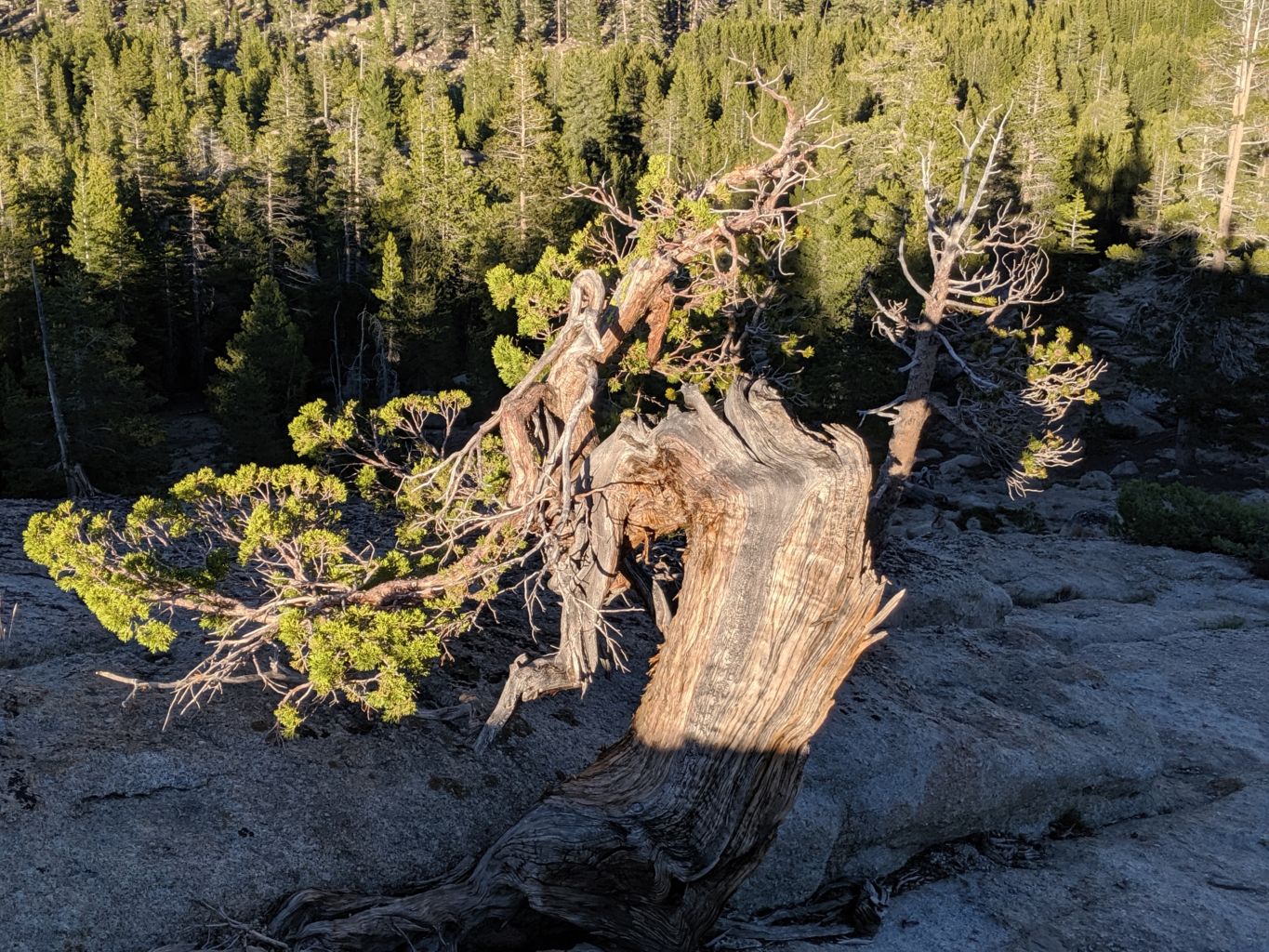
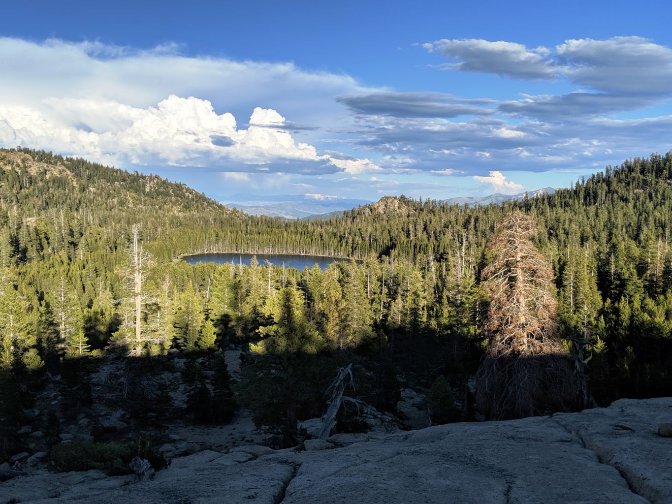
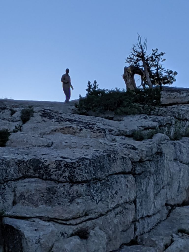
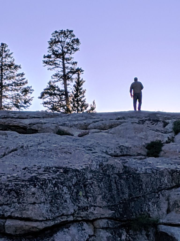
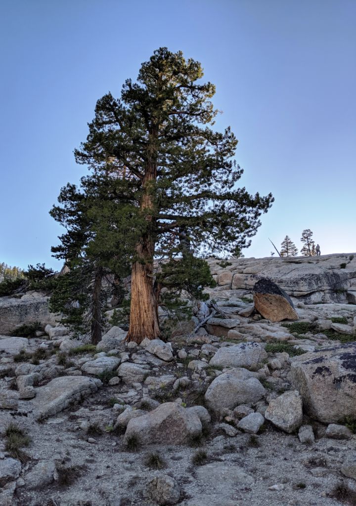
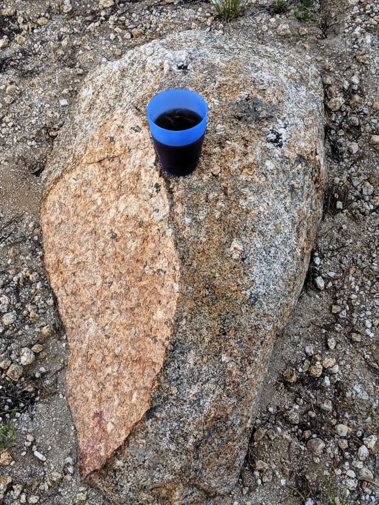
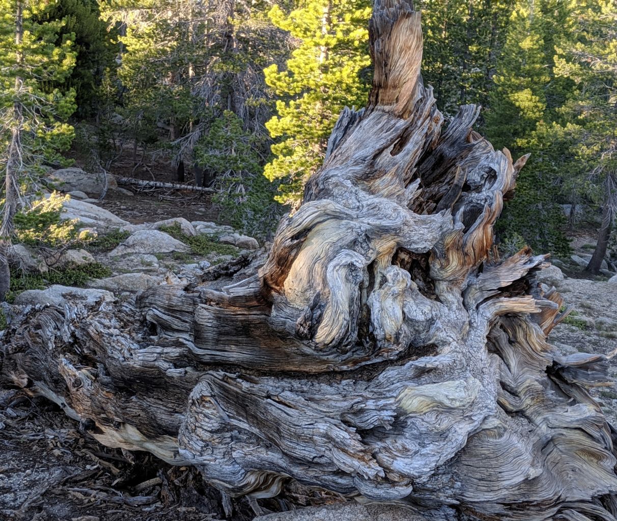
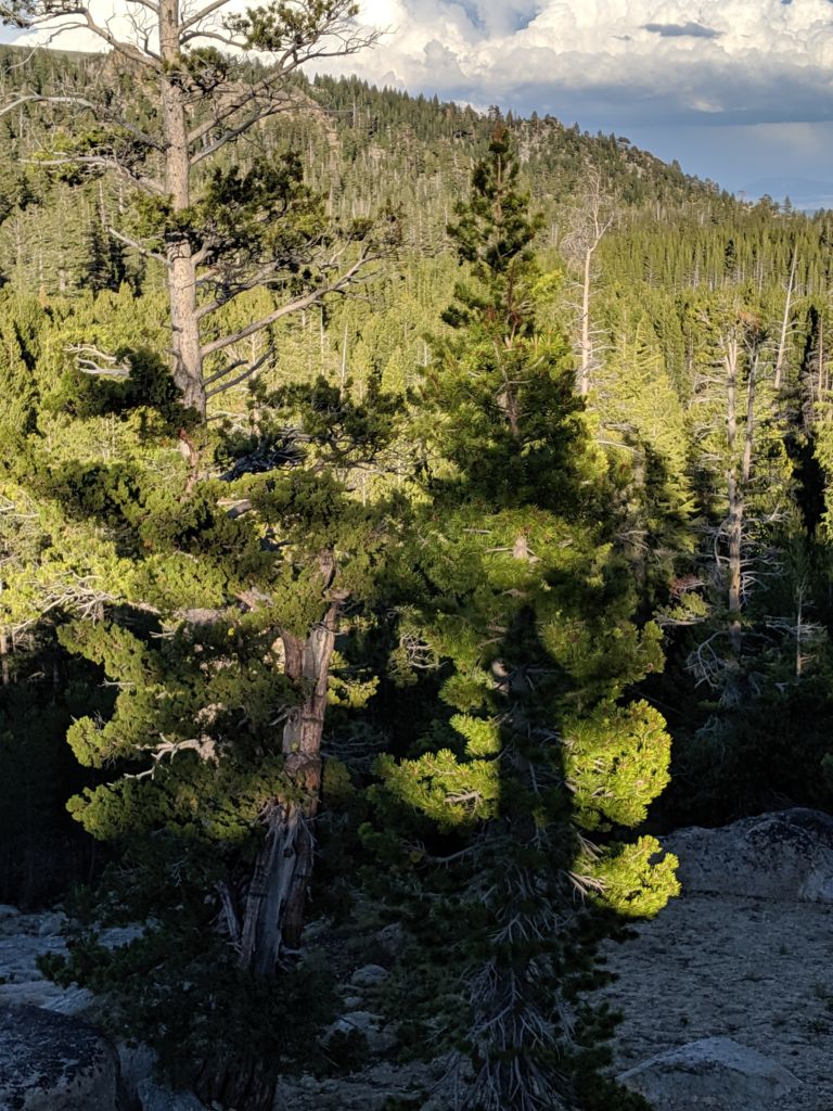
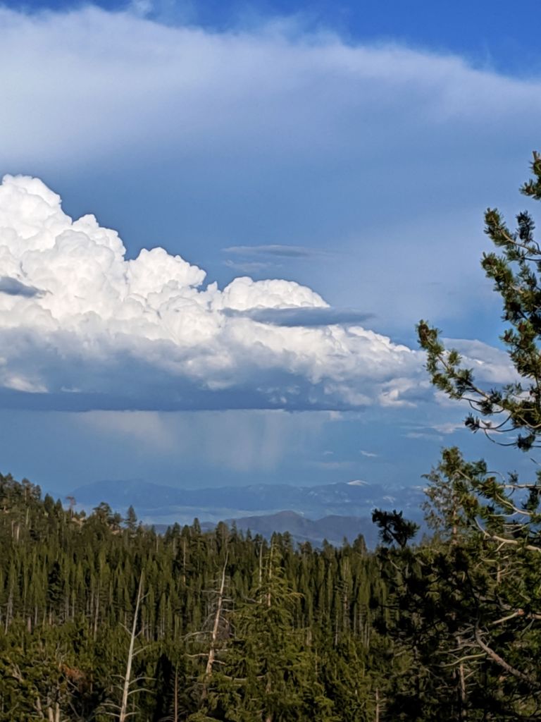
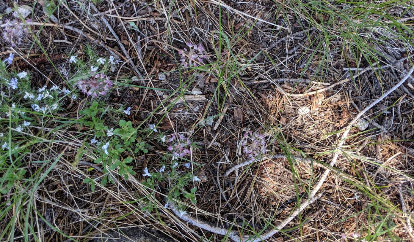
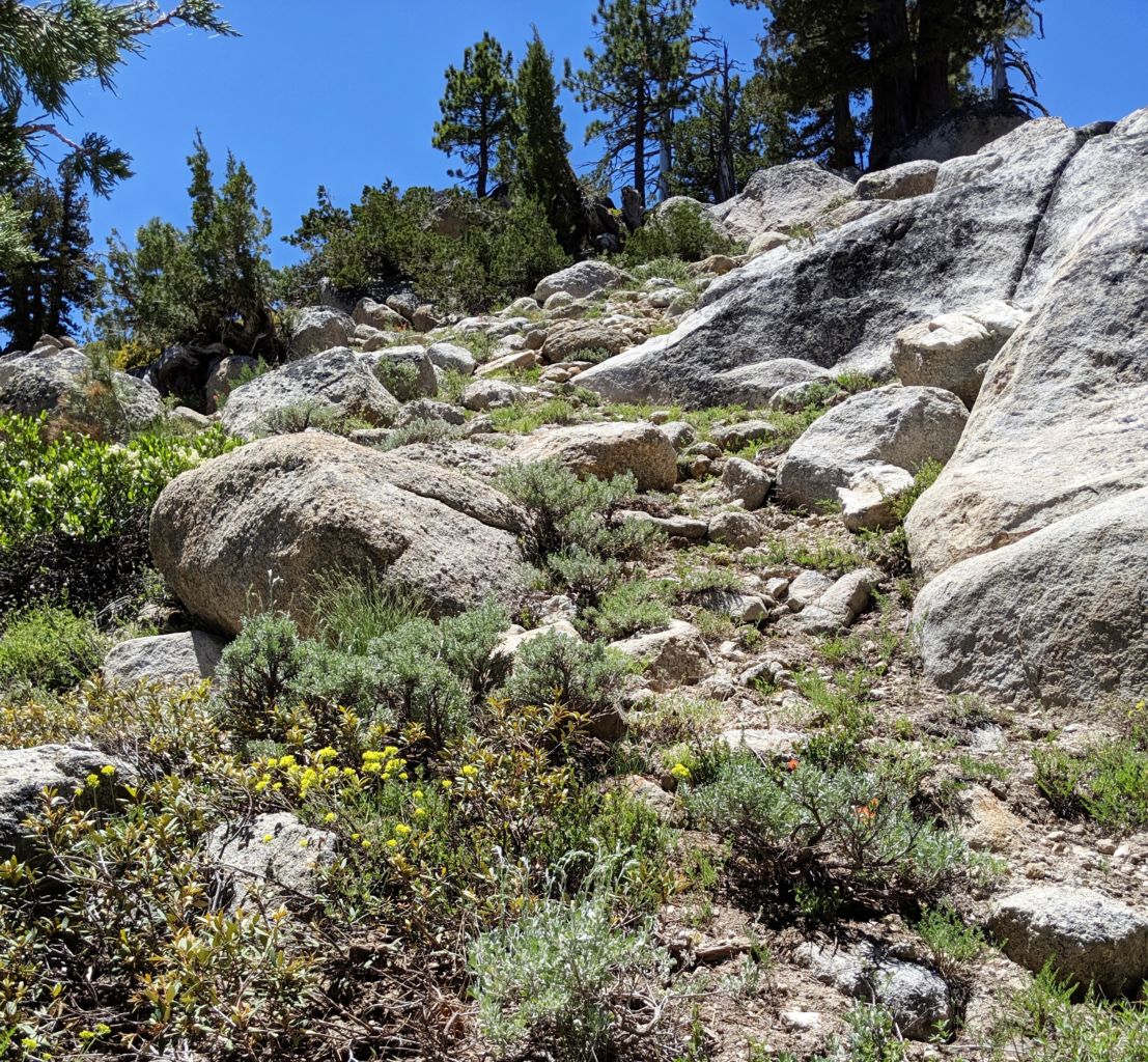
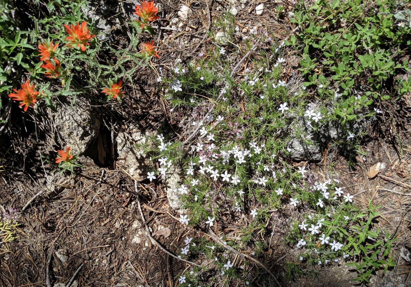
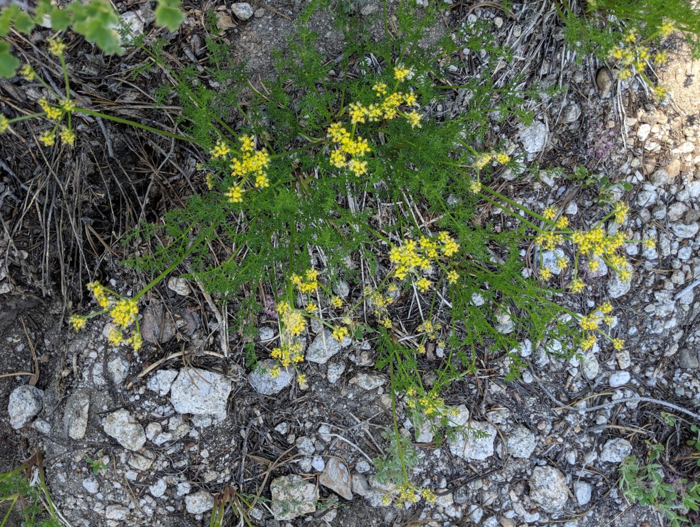
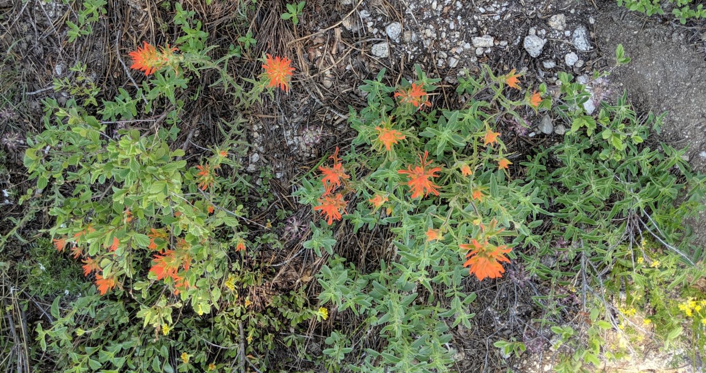
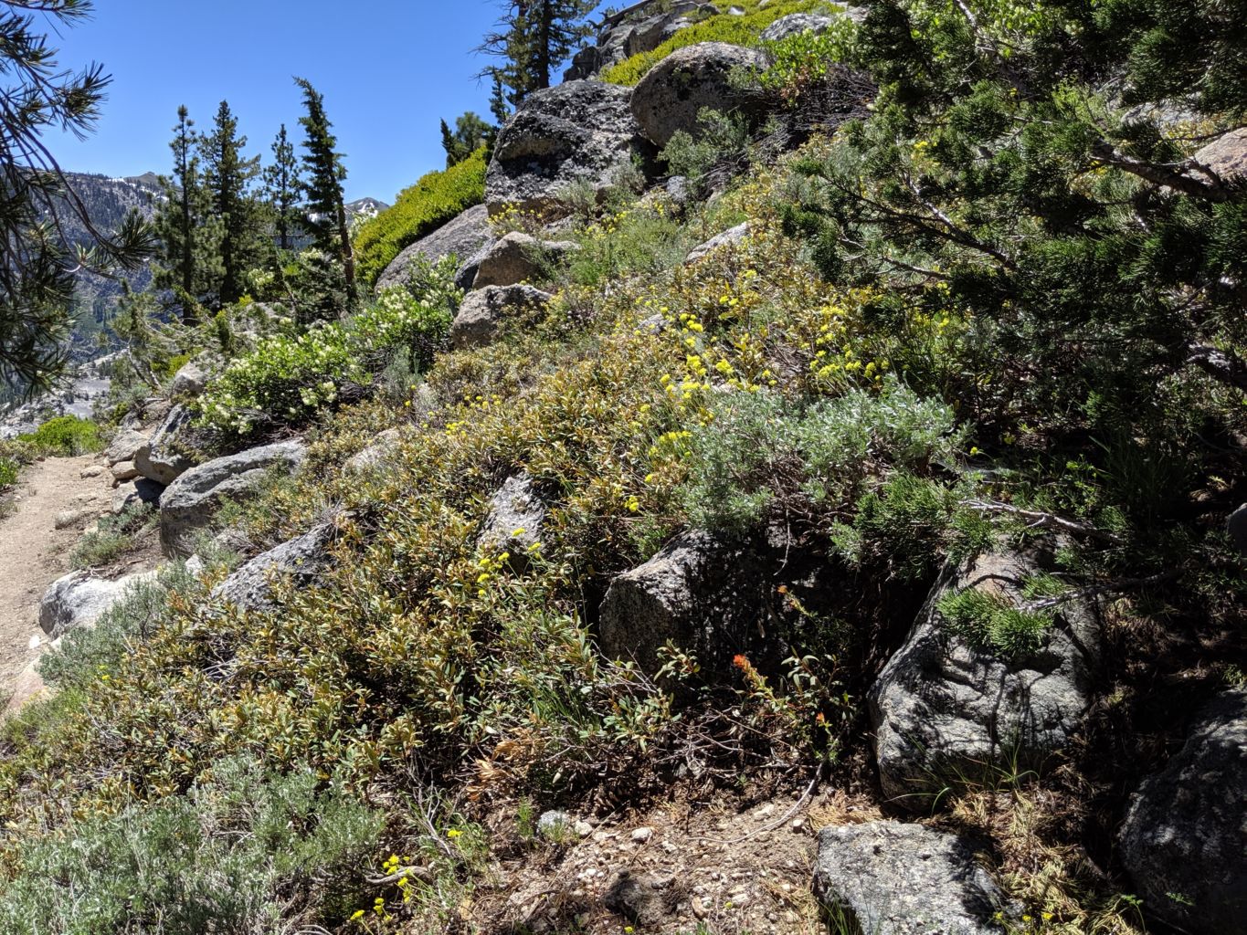
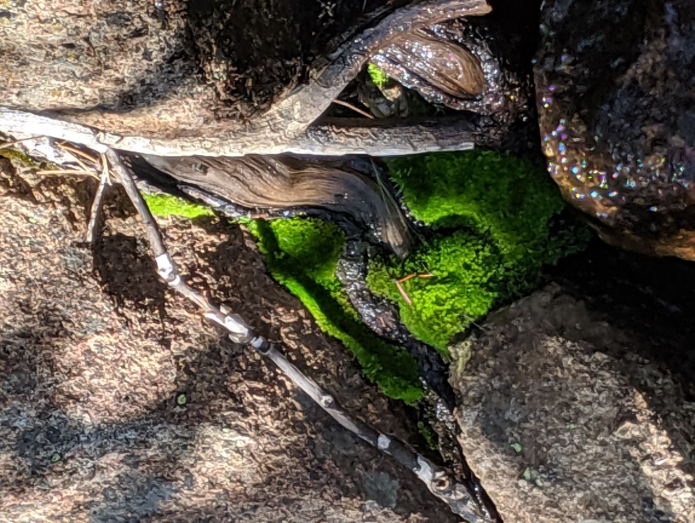
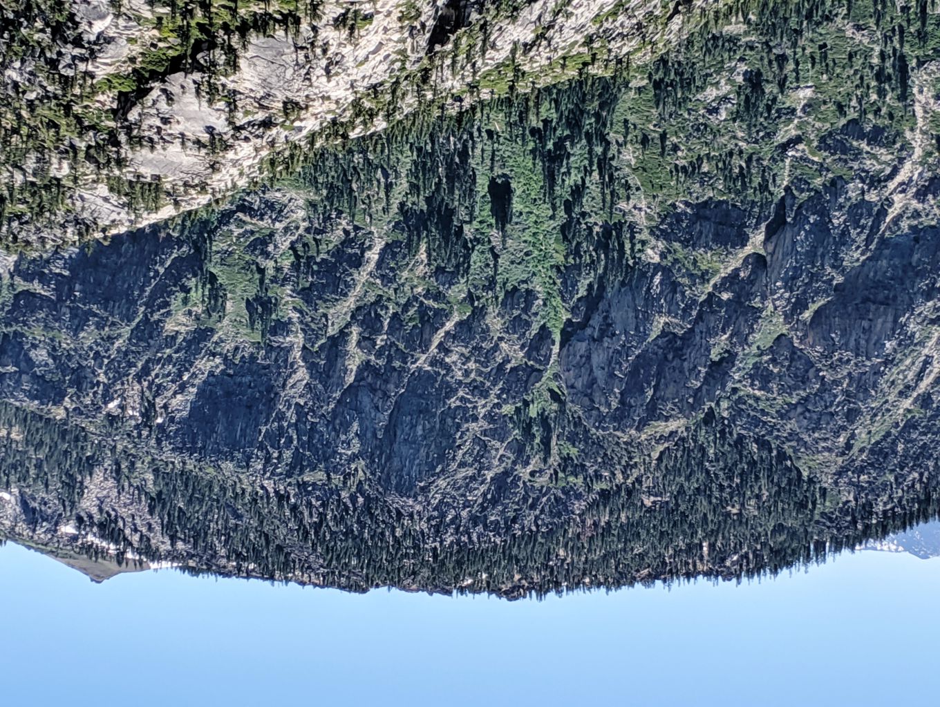
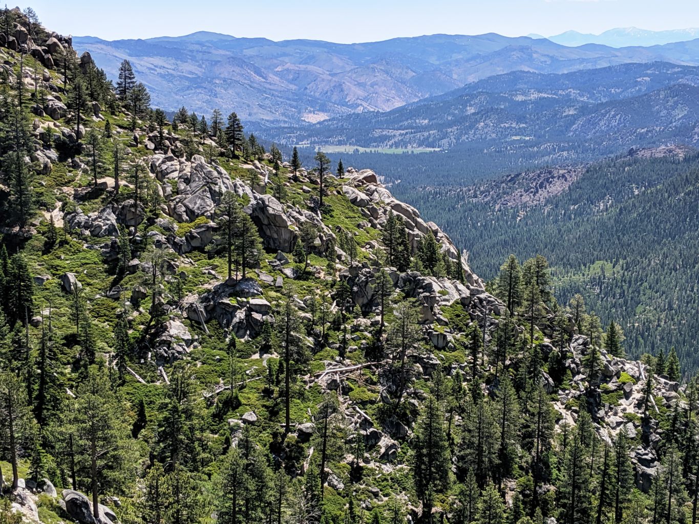
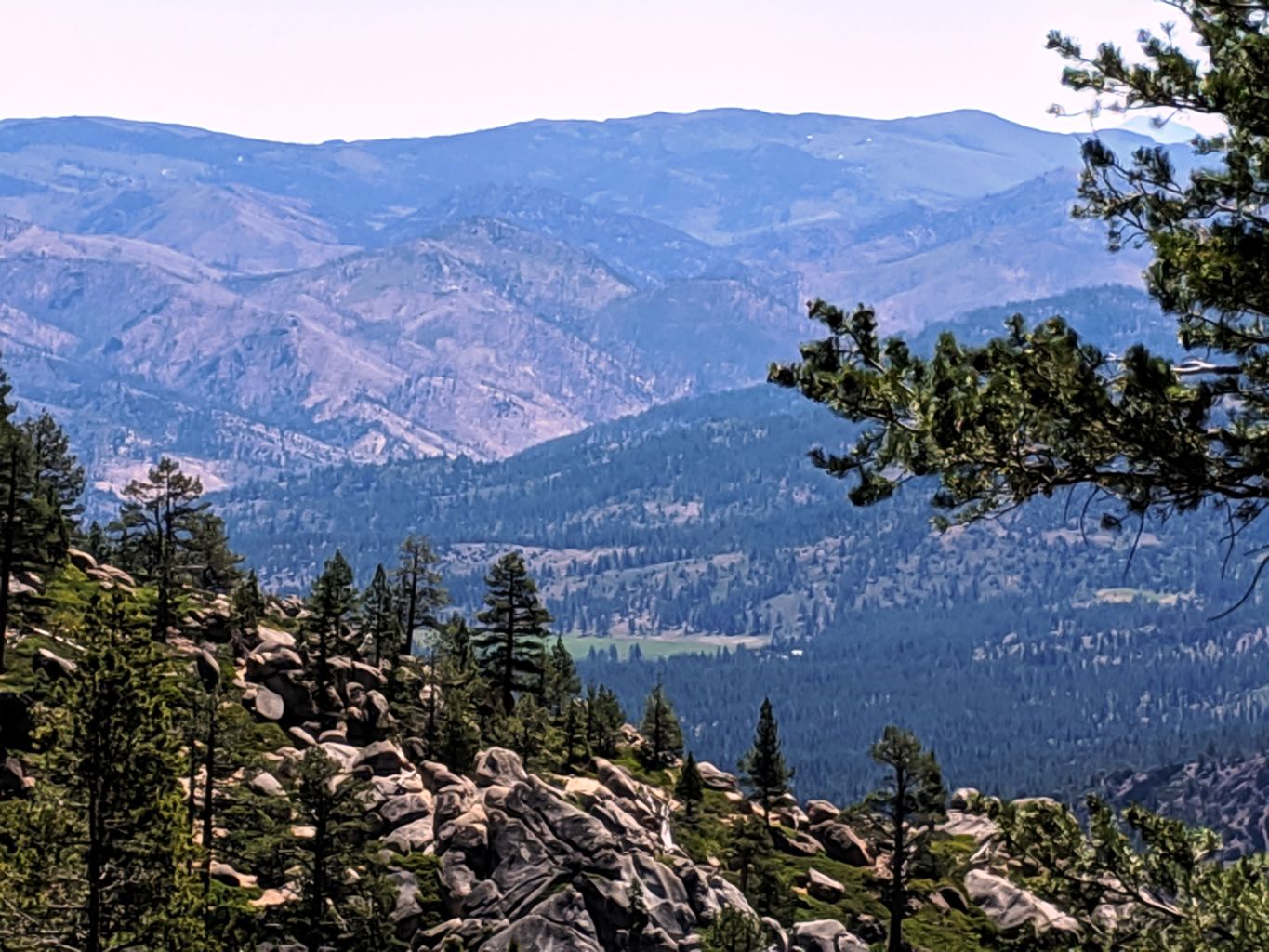
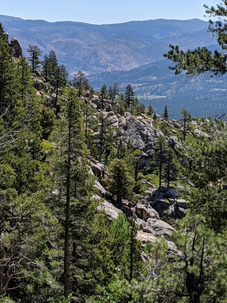
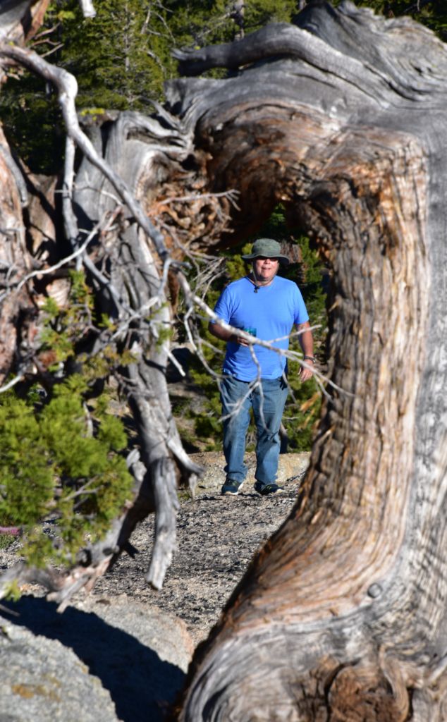
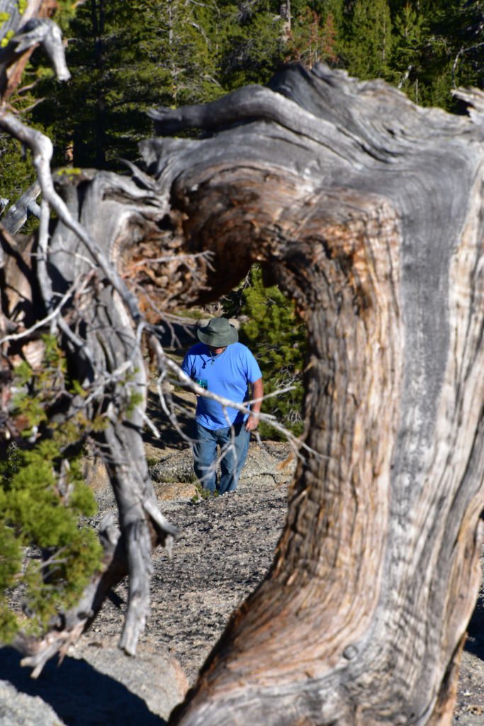
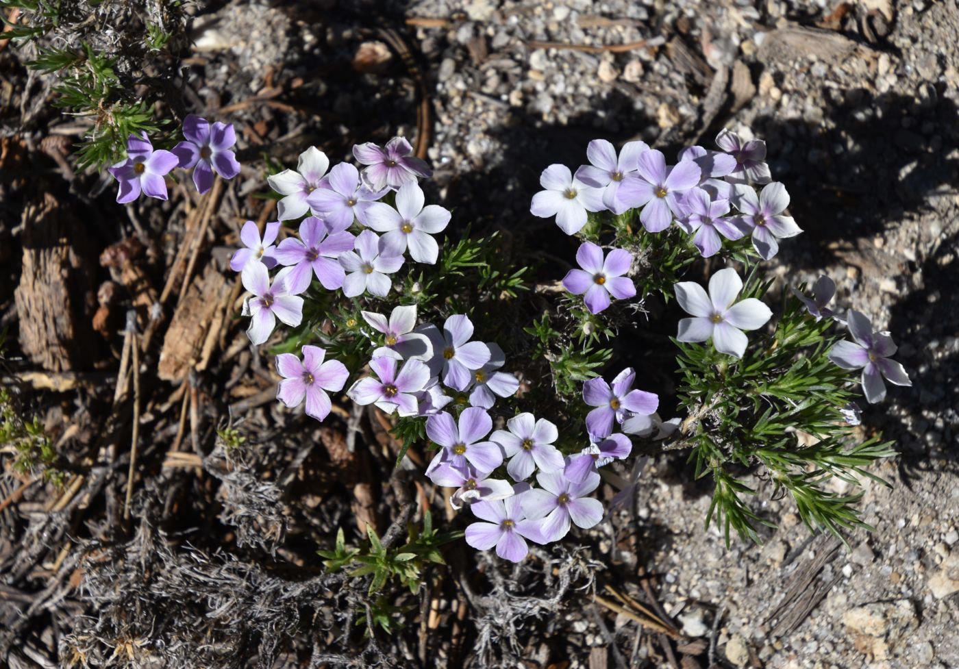
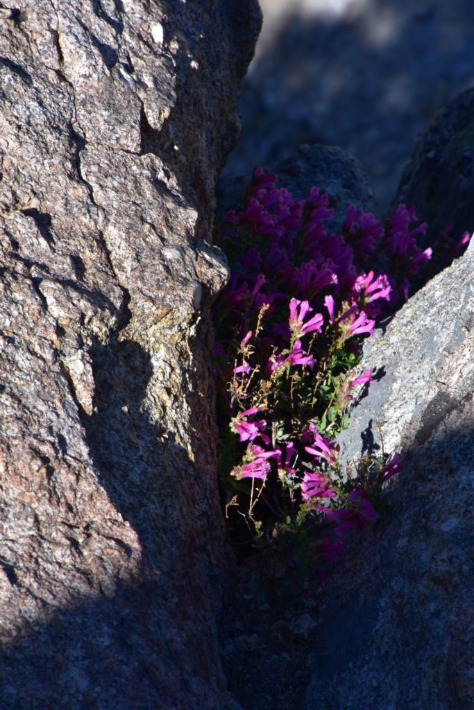
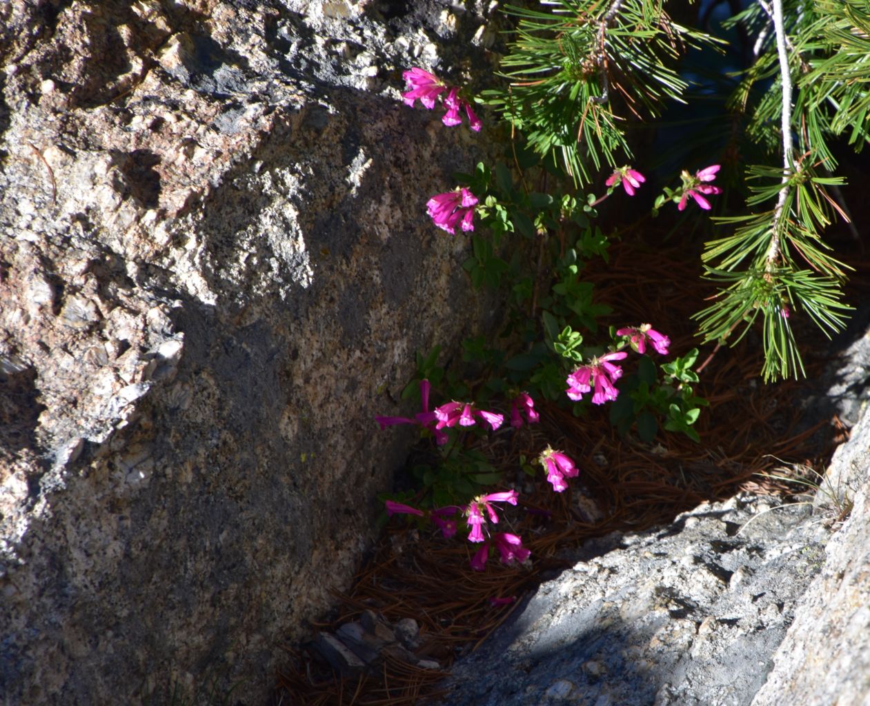
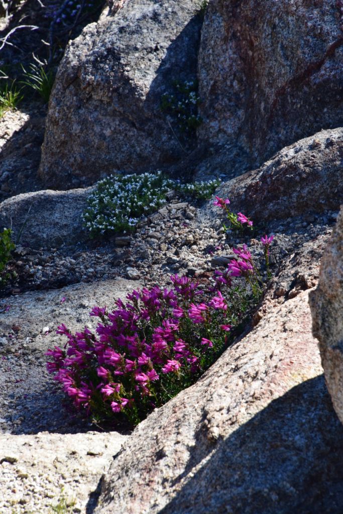
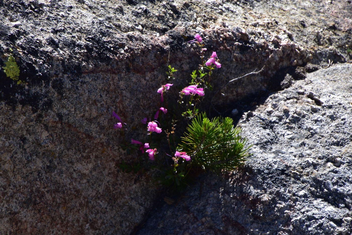
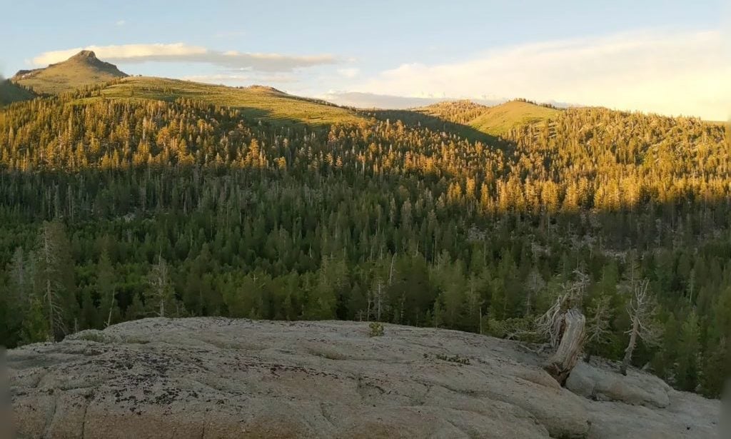
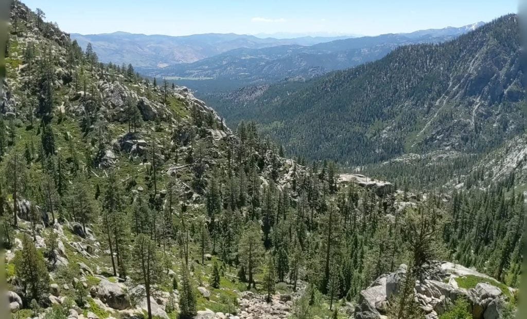
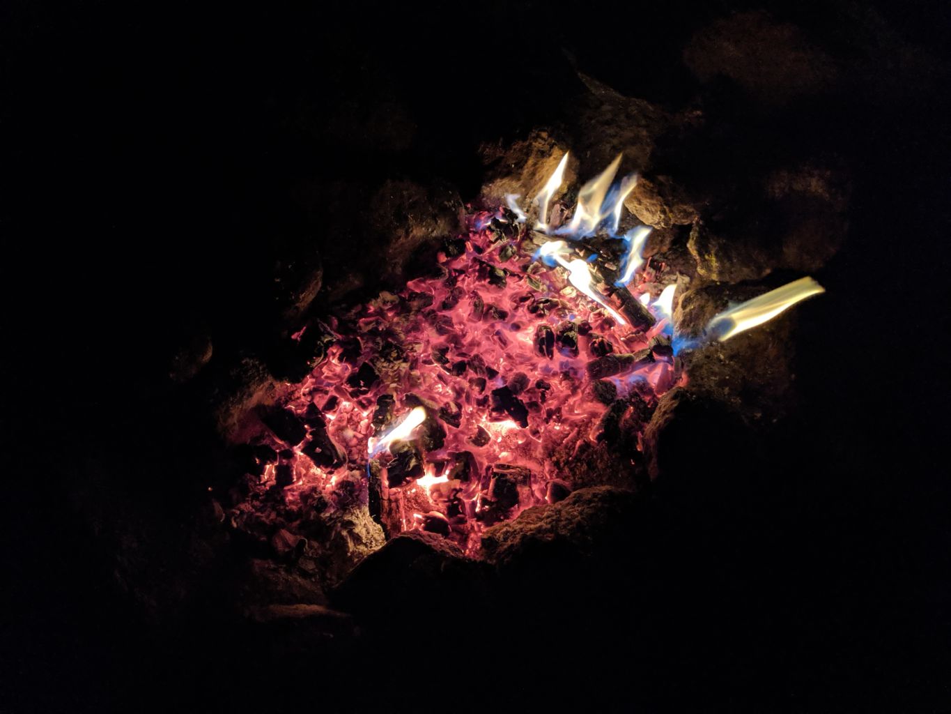
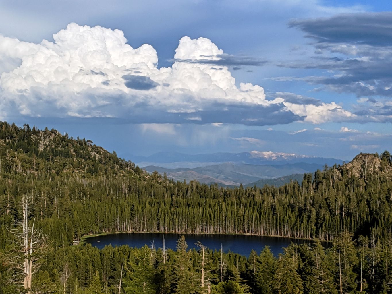
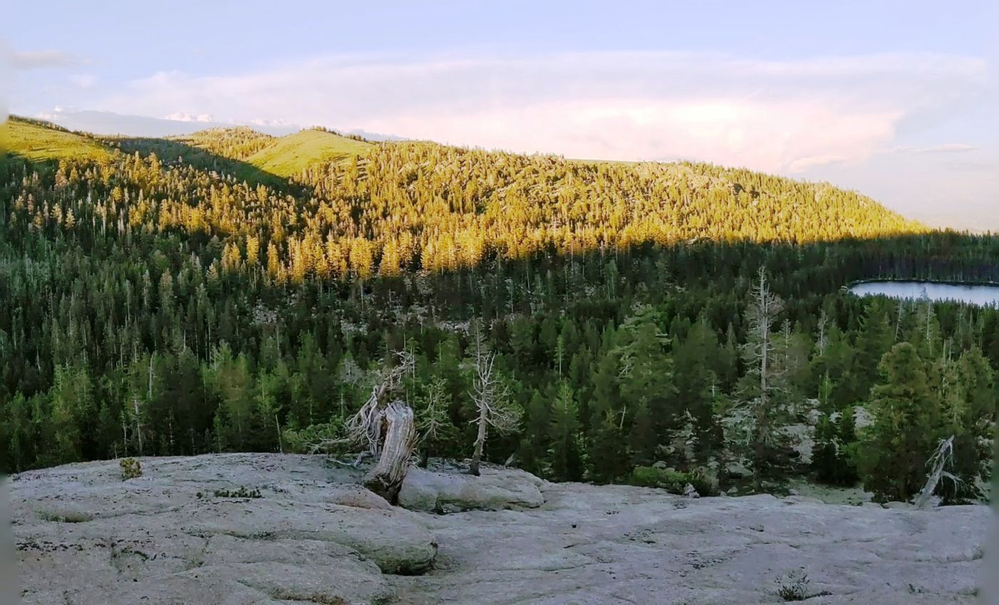
With dinner arrangements made, and cocktails in hand, we decided to stroll up the granite slope just beyond camp to some higher ground. This proved to be a genius decision. The granite just pulled us up; higher and higher above camp, the views getting more and more incredible. Hawkins Peak at 10,024’ to the Northeast, Burnside Lake in the foreground and Markleeville and Jeff Davis Peaks out in the distance to the South. The weather sculpted high elevation Western white, White bark, and Limber pines, Sierra Juniper, and Mountain Hemlock emerge out of solid rock. The sweet wildflowers nestled in protected swales among the granite and along cracks where their tenacious roots grab hold and provide food and stability in the harsh conditions. It was a wonderful playground to explore. Dinner, cocktails, fire, tunes, and a great sleep round out an awesome day.
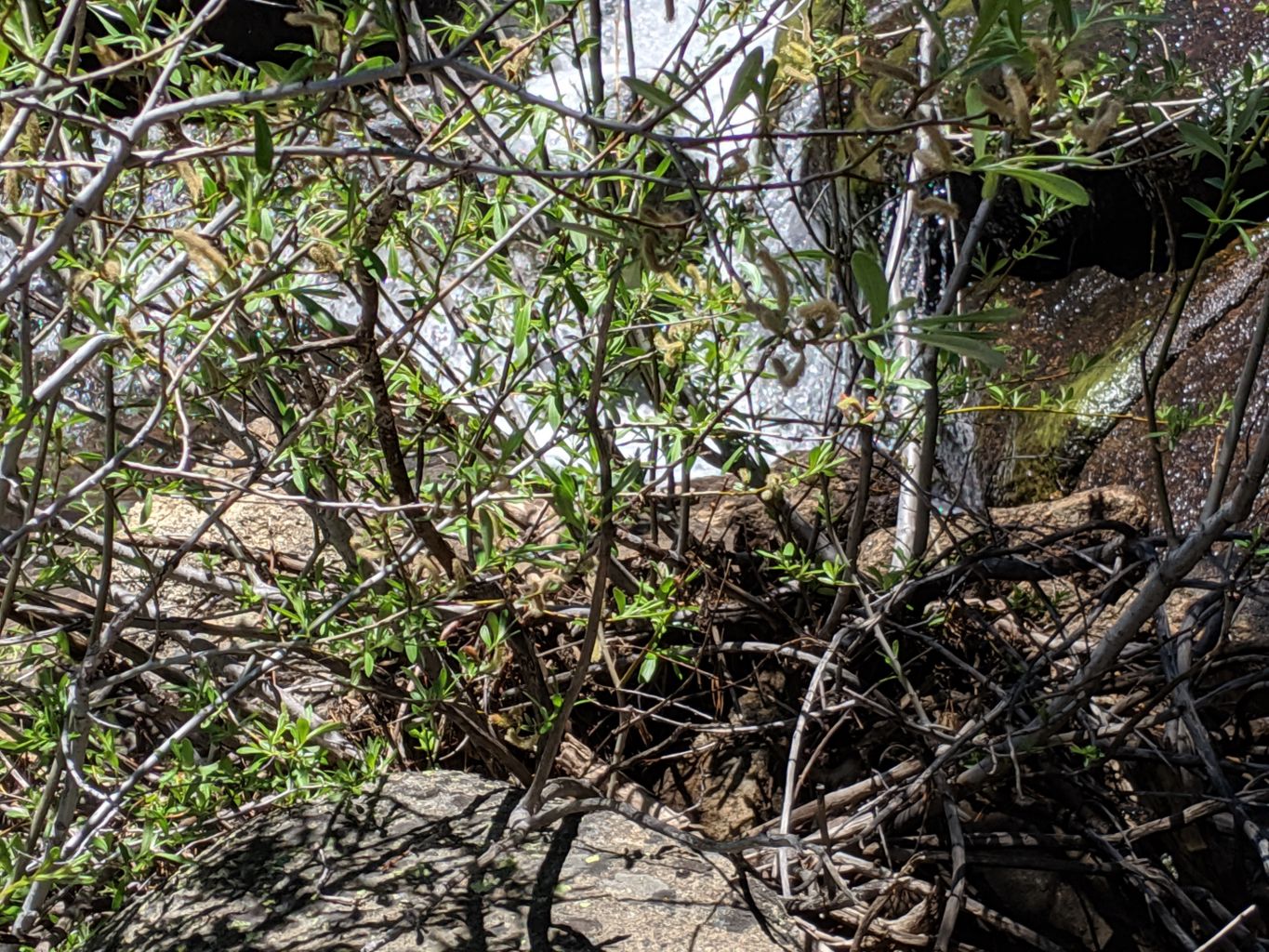
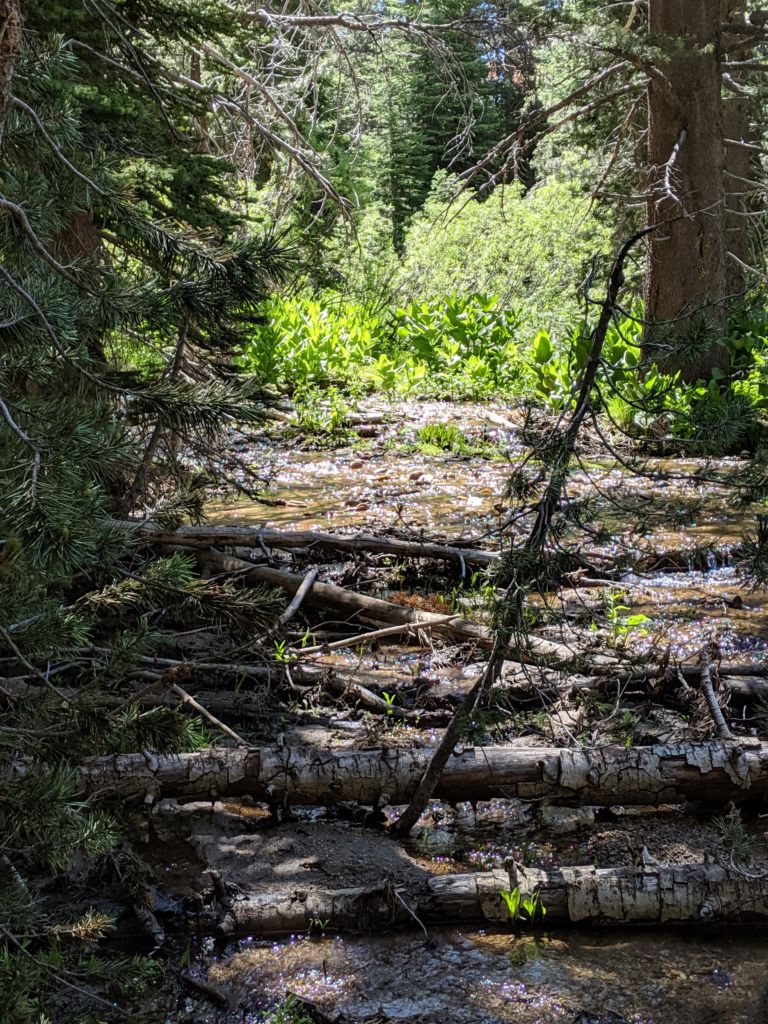
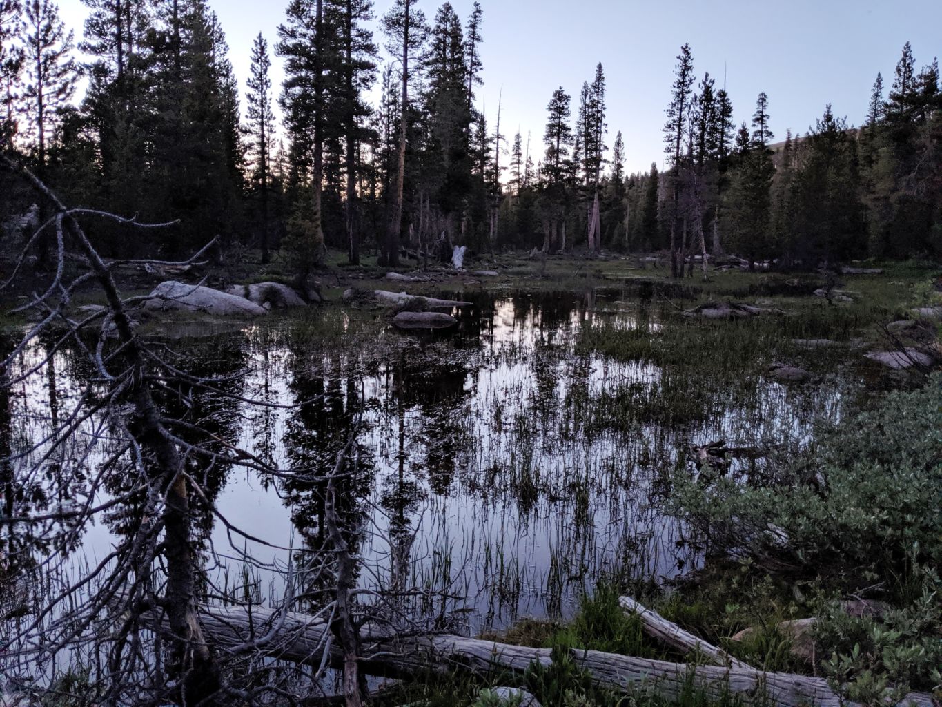
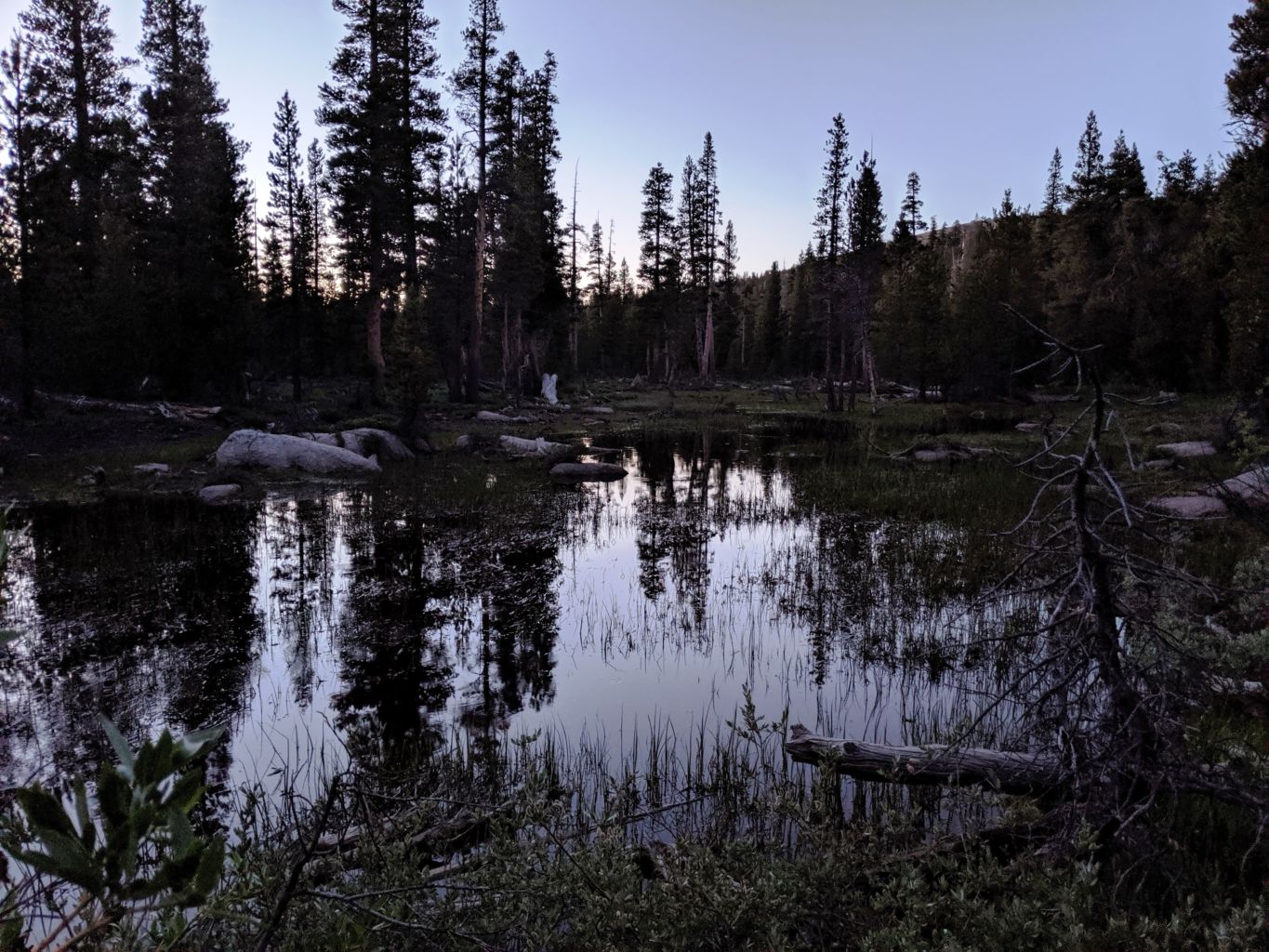
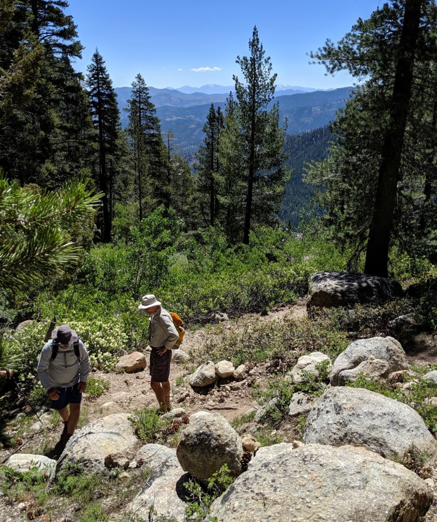
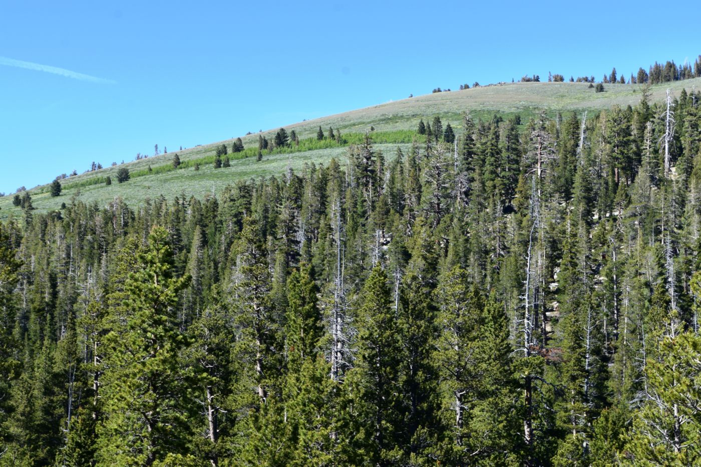
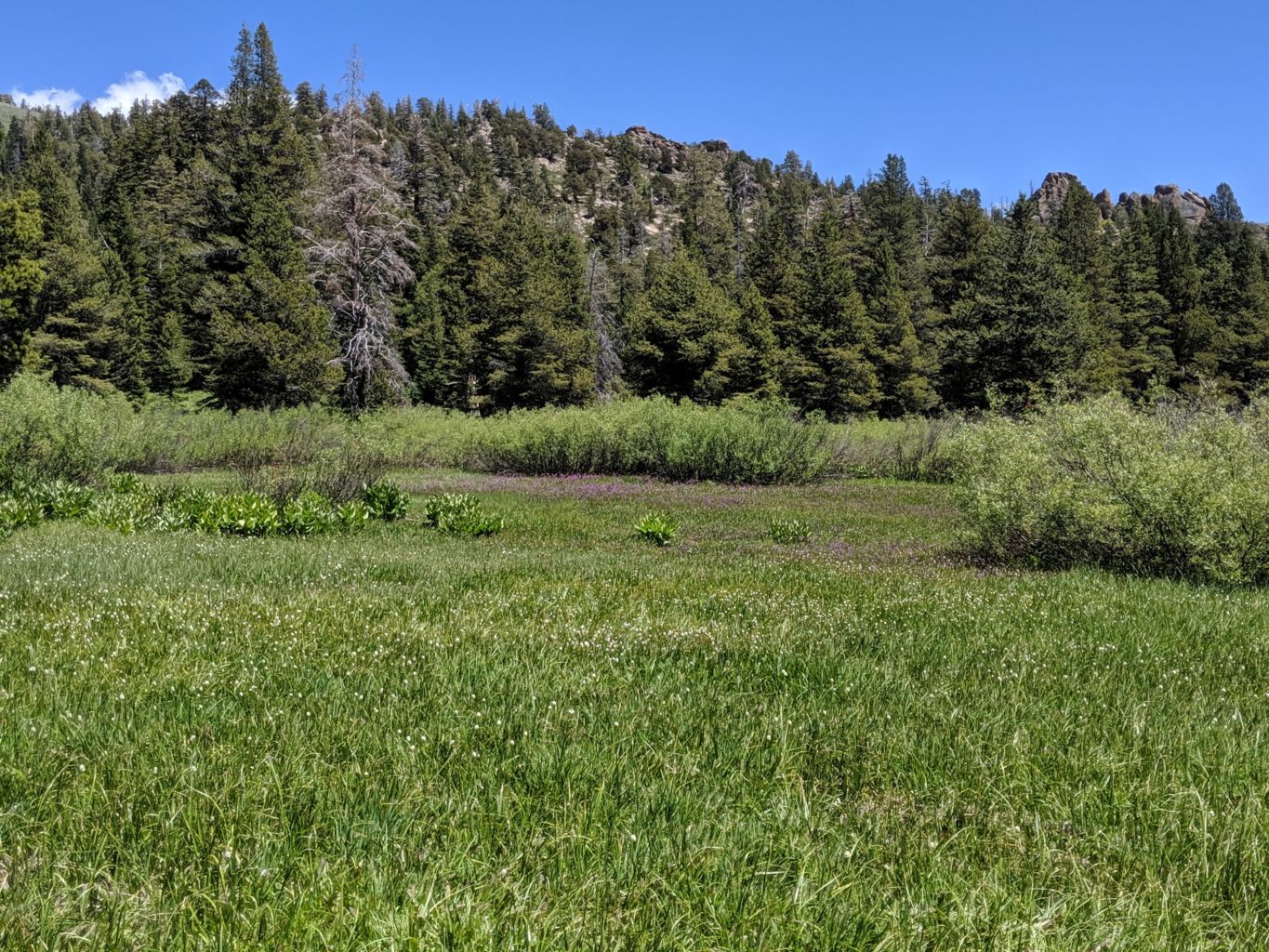
The next morning came quite early with the rising sun. Much coffee was needed. We decided to hike from the lake out a trail the girls told us about. There was supposed to be remnants of an old mine, so we packed up and headed out. It was a great hike through meadows and creek crossings and forests, There was a ton of water making it lush and green, and keeping grasses, insects, wildflowers and all forms of life fresh and healthy. It was incredibly flat with no elevation gains or losses for a mile or so before we left the flat woods and meadows and emerged at the edge of the Eastern slope of the Sierra’s.
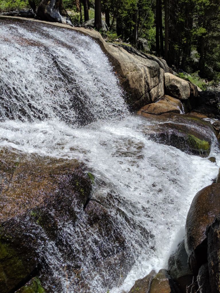
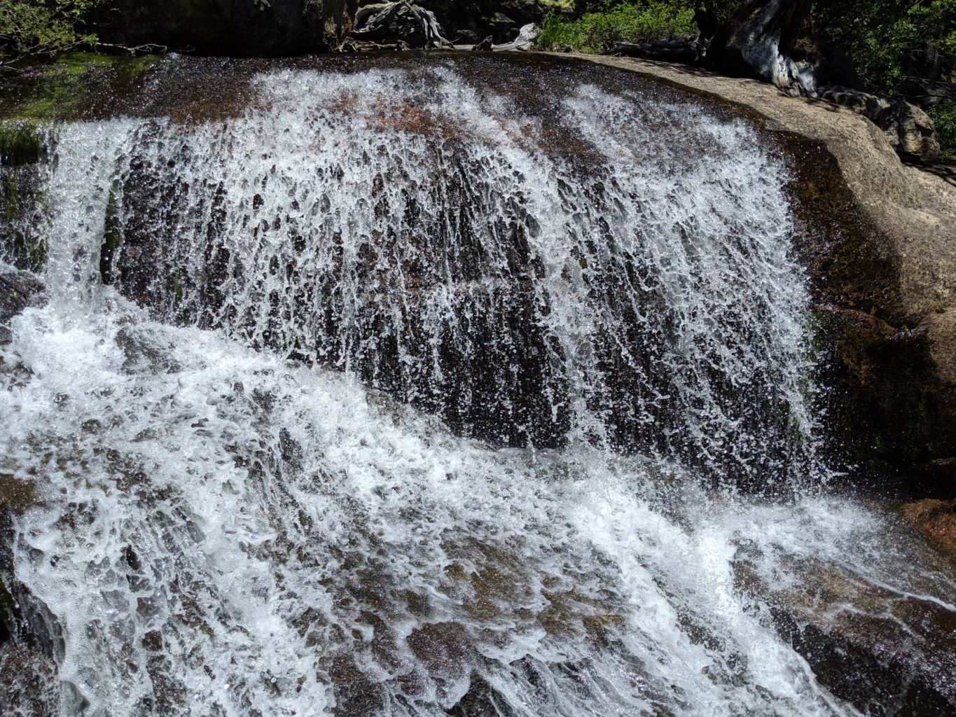
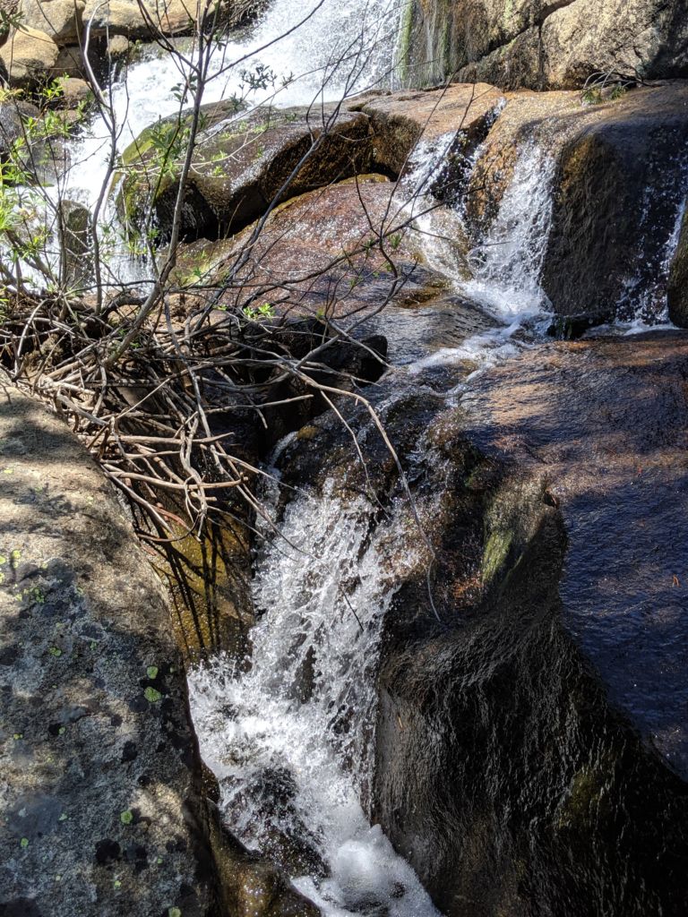
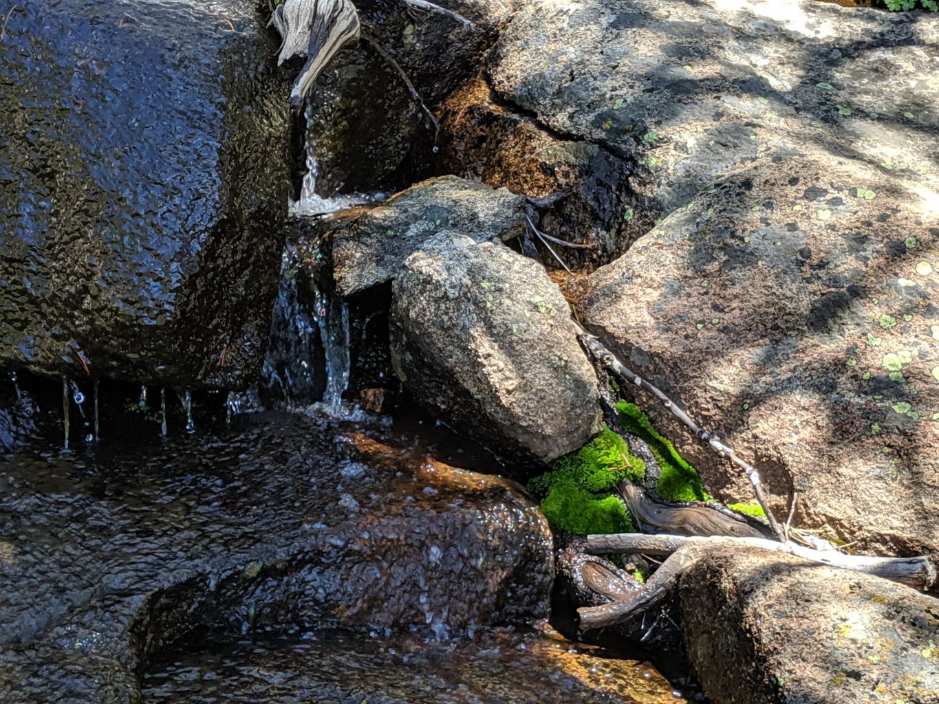
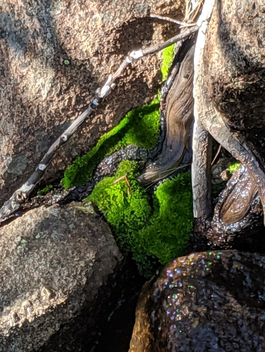
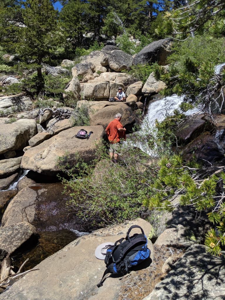
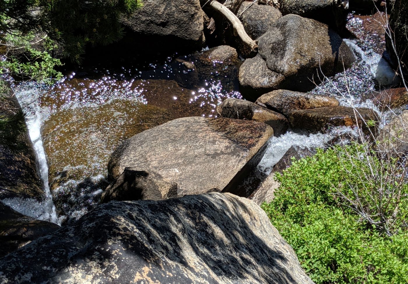
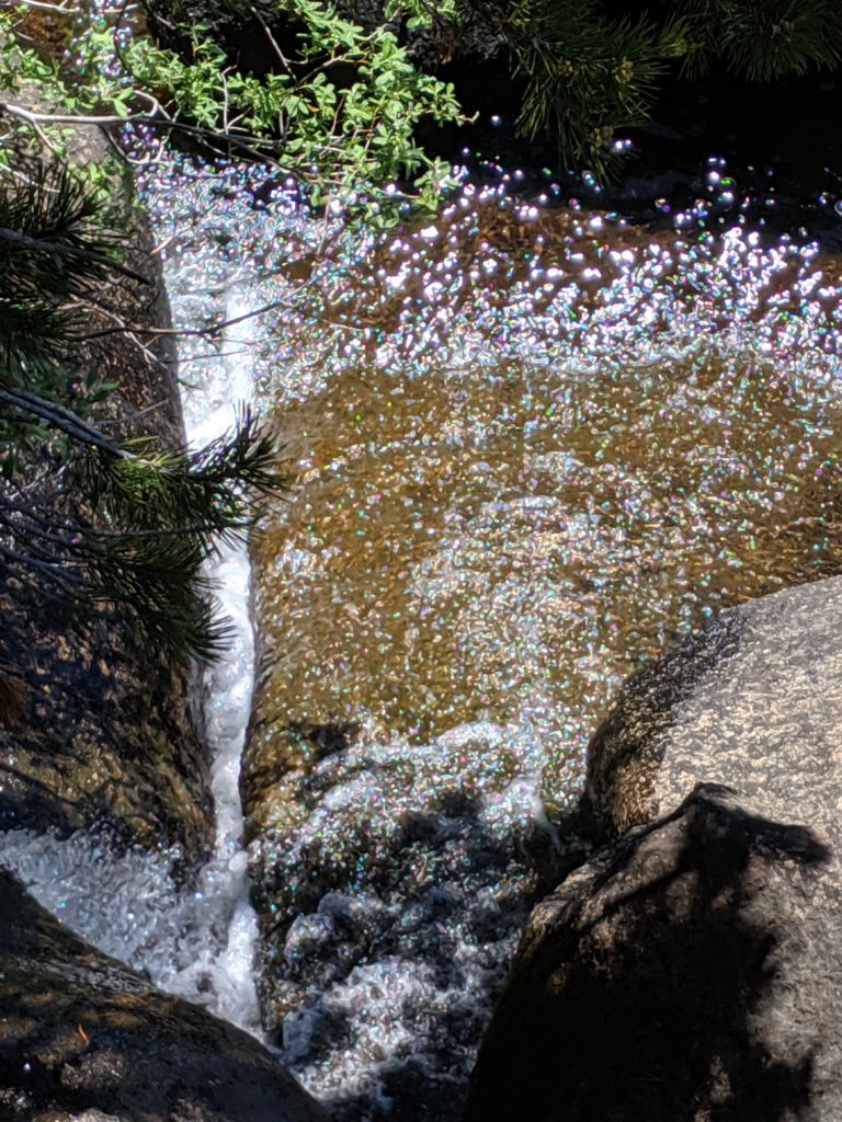
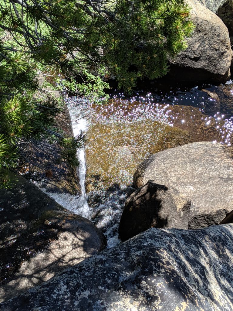
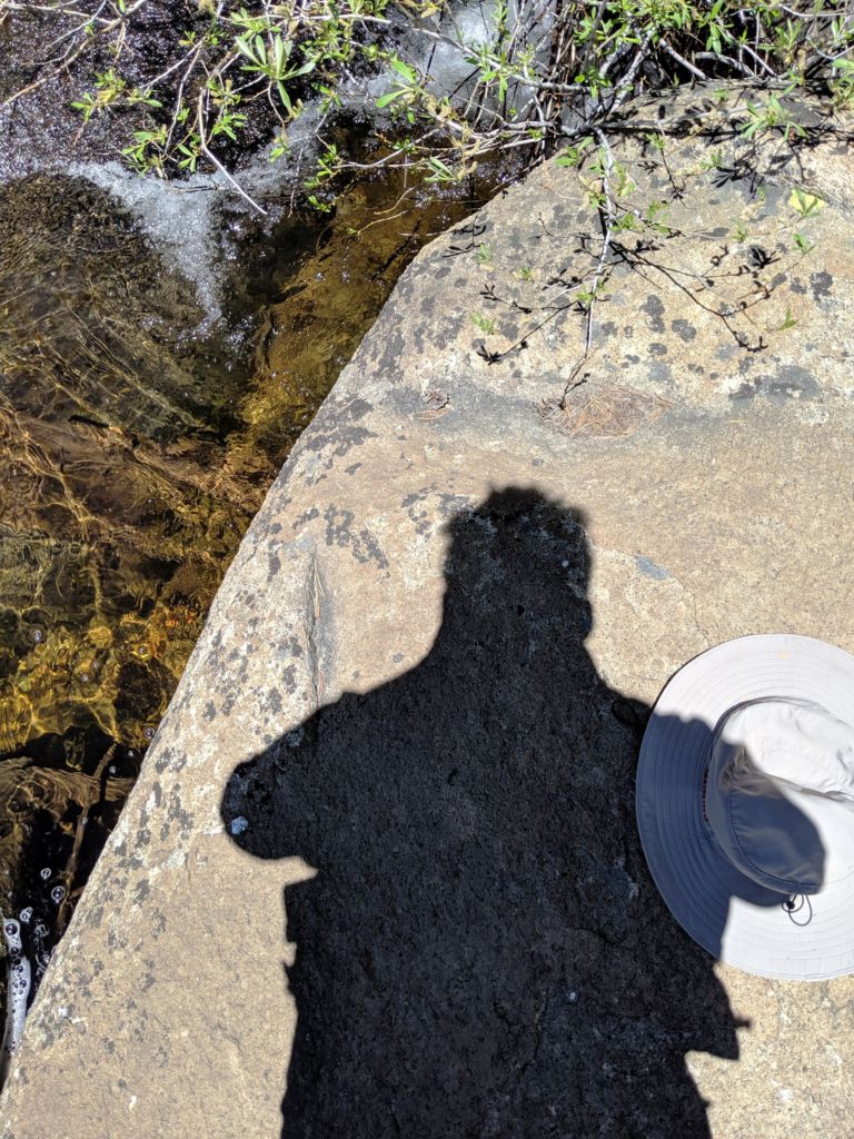
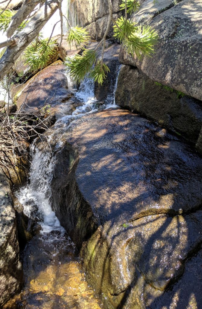
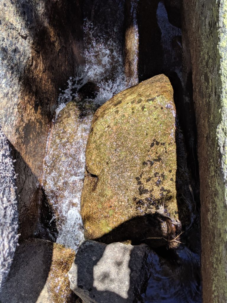
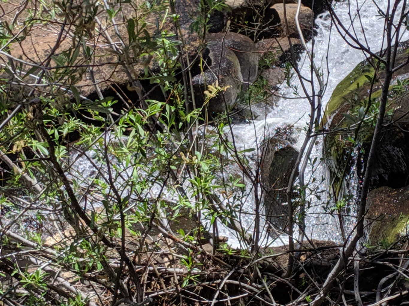
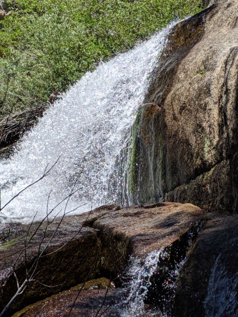
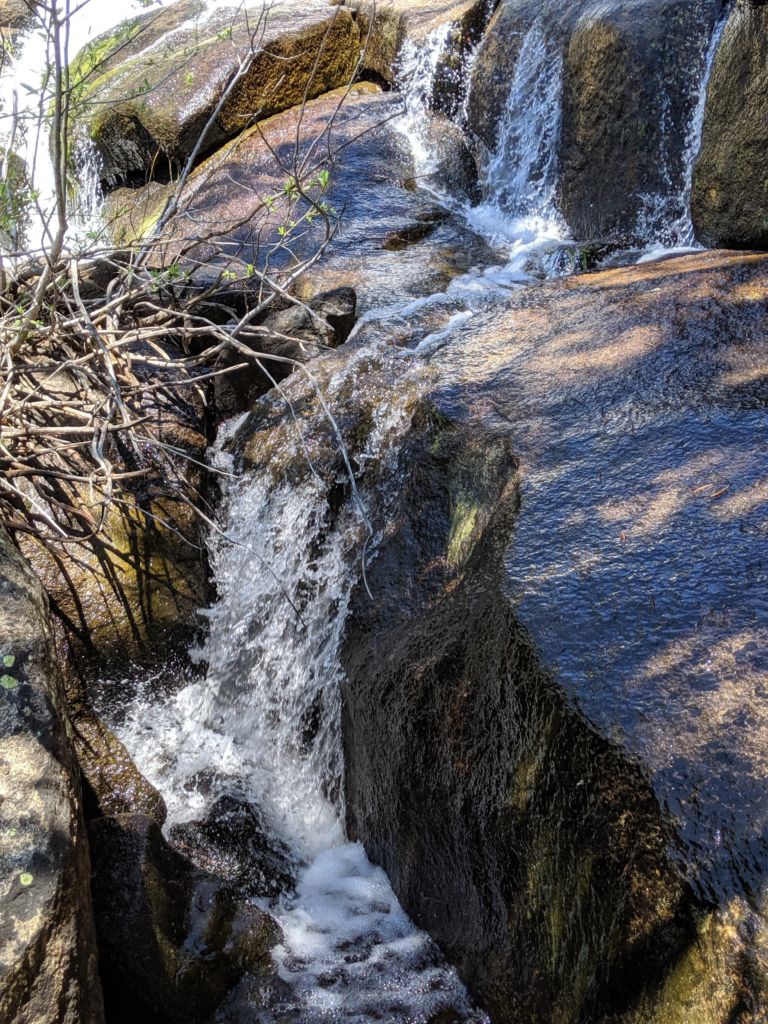
We weren’t sure at the time, but we were looking right down on Grover Hot Springs State Park. What I was sure about was that I did not want to descend that trail, only to march back up. Bob and Steve were up for the exercise, so they headed on down the trail. Mike and I hunkered down in the shade and awaited their return. When they got back, we all traversed down to a waterfall and perched ourselves on the rocks on the water’s edge. What a glorious spot for lunch, beverage, and respite.
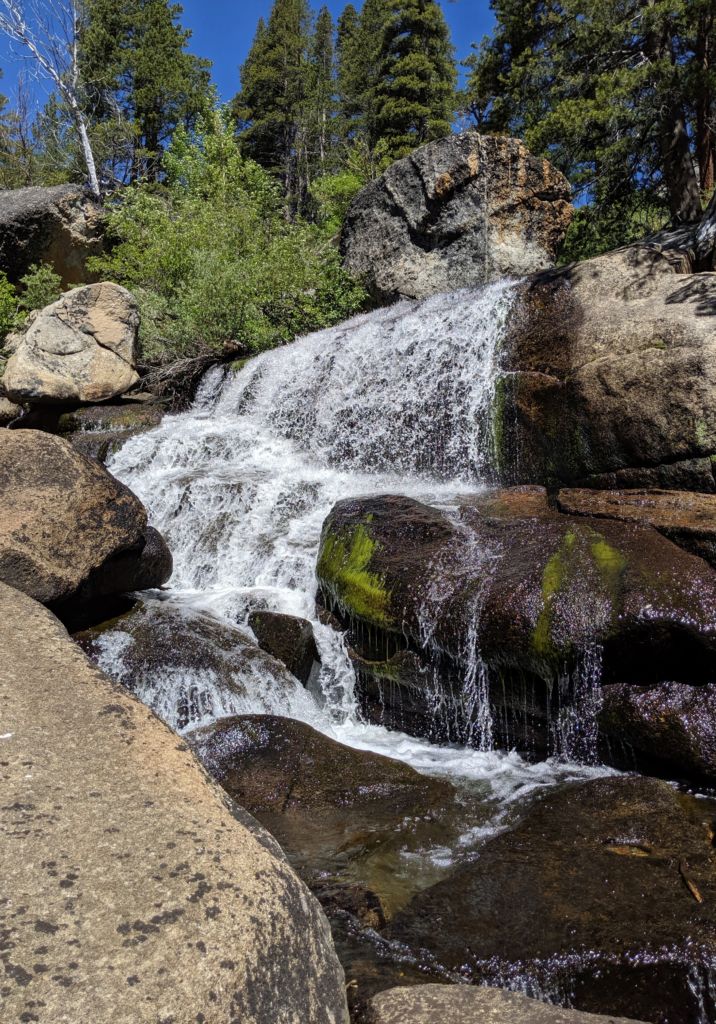
We had an excellent lunch of crackers, meat, cheese, apples, cold beers, and water. The water was freezing cold and hard to get down to, but Mike managed to take a dip. I noticed his voice changed a little for some time afterwards, but I didn’t mention it. We returned the way we came and were back at the lake in plenty of time for a dip and the last of our lunchables. I took the canoe out to meet the boys on the other side and had great fun battling the gusts of wind that came up now and again as the afternoon came upon us.
Having seen no sign of the mine, I asked the girls how we missed them. They laughed and said they weren’t down the trail, but down the road. Eager to find them, I headed down the road, up the first track to the right and across a myriad of tracks, trails, signs of camps, and human activity, but no bloody ruins or foundations could I see. I trekked along the creek all the way back to the trail we had hiked on earlier, coming out at a place I remembered alongside the meadow. Retracing my steps, I crisscrossed the area to some length on both sides, but still found no signs of mining or structures. Disappointed, I returned to camp to find the boys full of ale, cocktails and tall tales.

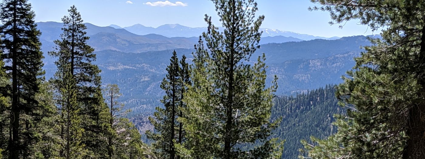
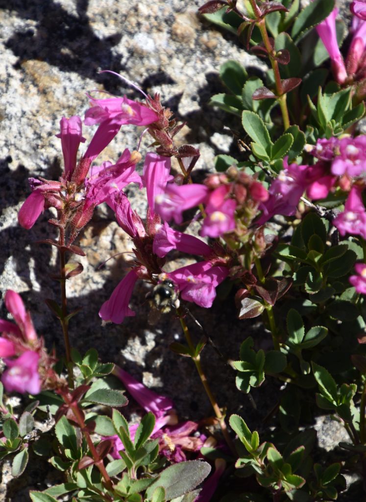
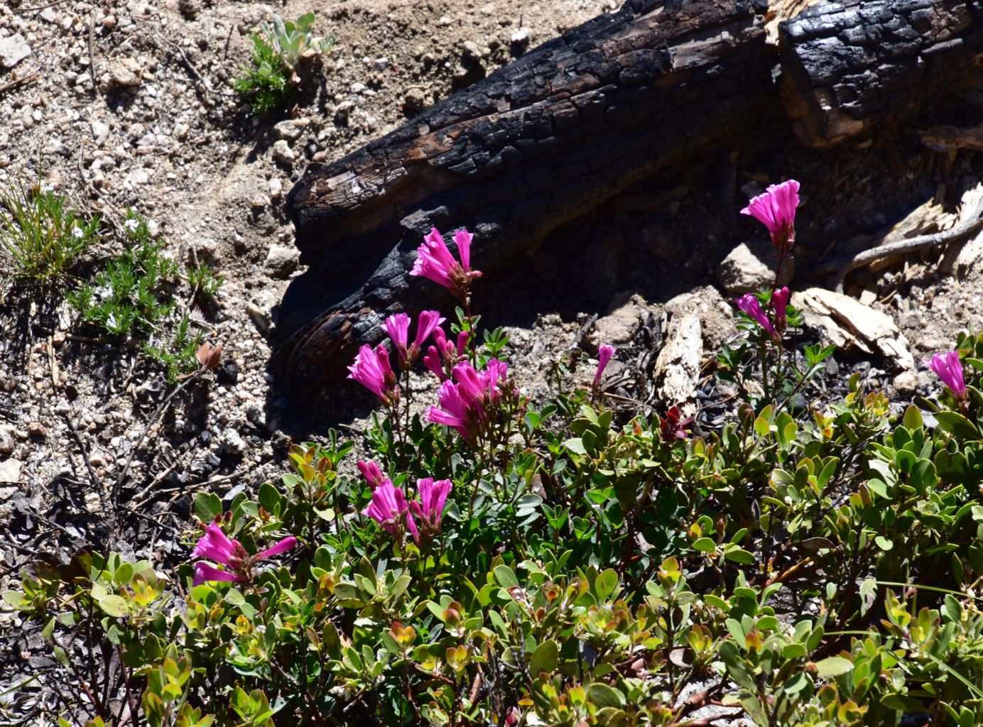
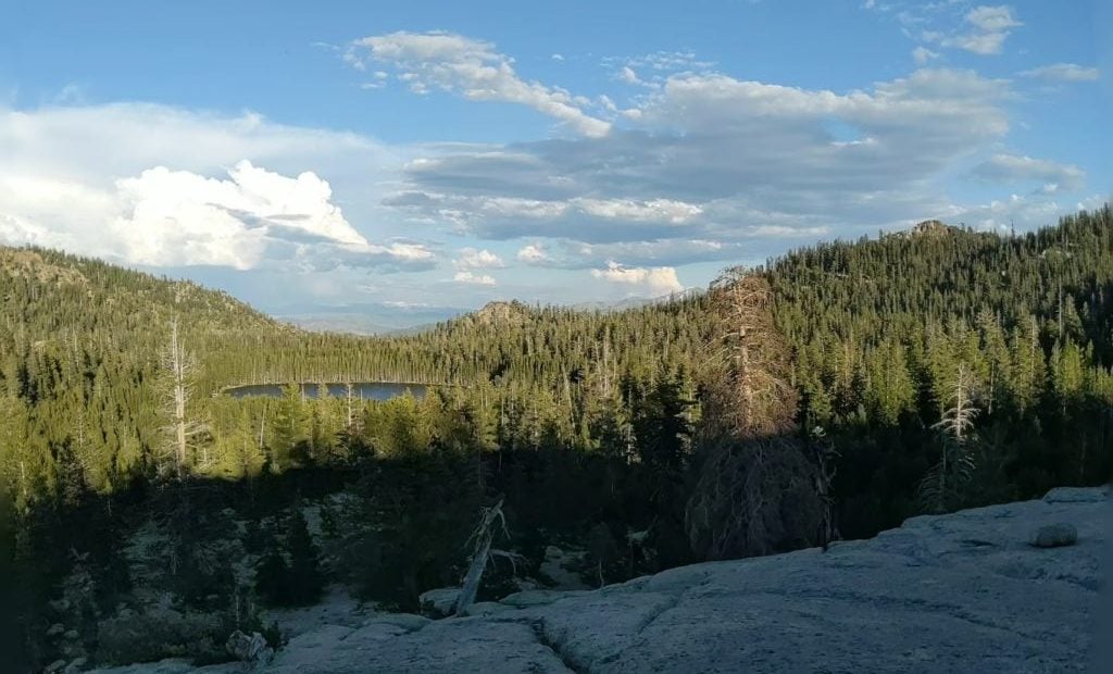
Feeling somewhat restless, I walked up the granite slope to some higher ground than we had reached the day before. The views just kept getting better, and as afternoon slowly crept towards dusk, the light and shadowy displays grew more and more intense. I just couldn’t fill up enough. Above 8,000’, these Sierra’s were in full bloom, You could just feel the energy, not a brewing storm front or wind energy, just the spectacle of the hi season; rapid growth, flowering, maturity, seeding, mating, reproduction, the rapid activity of the condensed life cycle at this elevation in the height of summer. It was contagious.
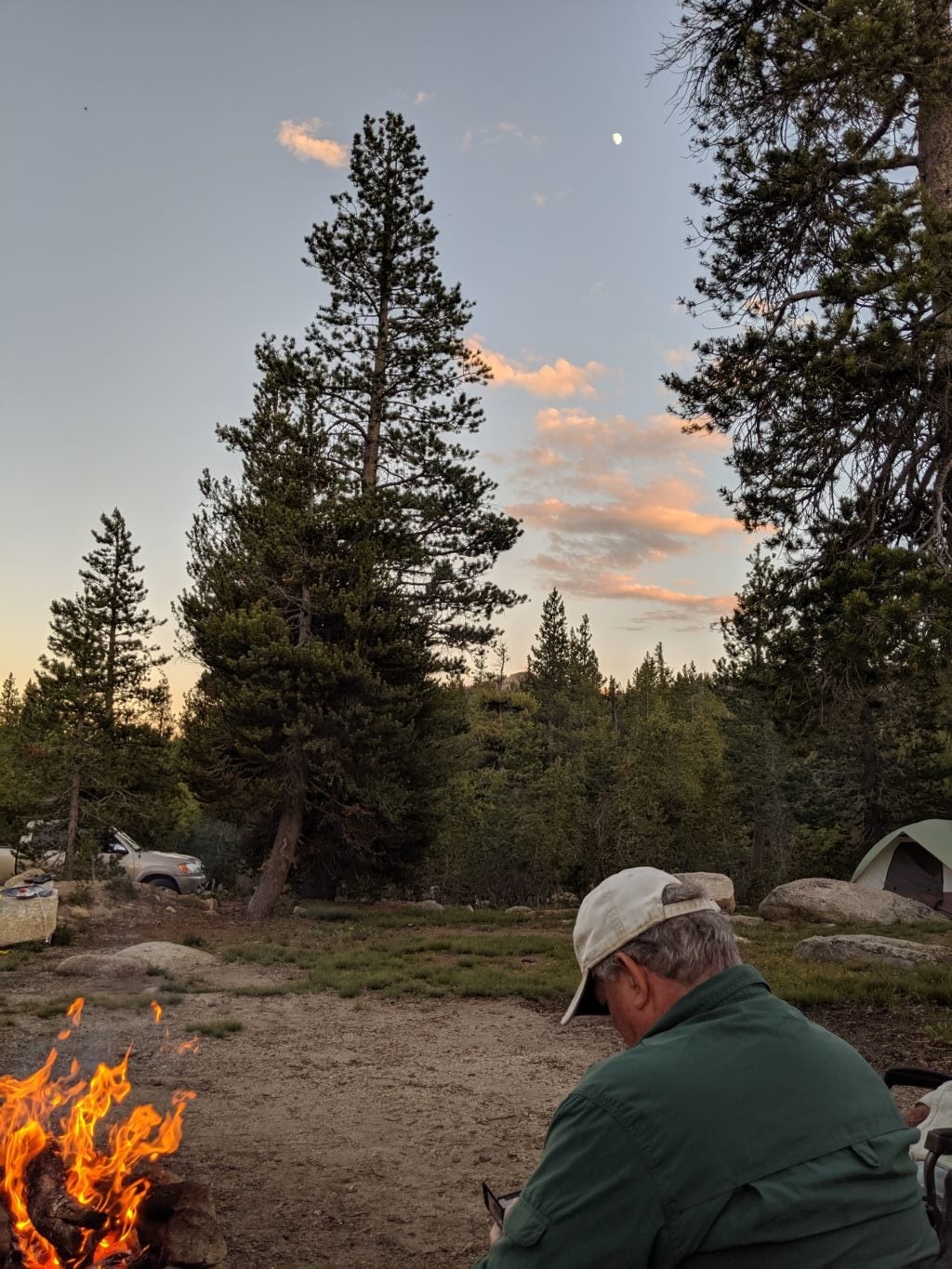
Returning to camp for a spectacular dinner and fireside chat, I was too amped for the addition of the music, that was growing increasingly raucous and rambunctious. I walked down to the lake to listen to the crickets and froggies and night birdies. I couldn’t help but notice the addition of a rather large trailer and the impact they made on the already slight lakeside and commend ourselves on an excellent decision to get away from the lake. The temps were great; cool enough to be comfortable and keep the bugs to a minimum, but not at all cold or windy.
Back at camp, I couldn’t keep my yap shut and I sniped about the silly music he was playing and it came to an abrupt halt. After a moment or two of awkward silence, we were rewarded with natural forest creature sounds and good conversation. It was a huge relief to me and I hope not too uncomfortable for the boys.
 Sleep was again excellent and morning came all too soon. This being the last day of the trip, we were all ready to scoot, so we had a nice morning, but pretty much just packed up and split after coffee. We didn’t do a very good job of centering the canoe on the racks so it was a bit more wobbly than it needed to be, but it was not loose, so our drive home was uneventful. We didn’t get to camp out of the boat, but we did explore an area on my list and found a great spot to hang. This winter gave us a great reminder of just how deep the snow can be at the higher elevations and how long the snowpack can last. Here we were in July, and still roads were closed due to snow drifts. It was a great year to be in the high Sierra.
Find this Spot
Burnside Lake Photo Gallery