Panamint Valley, Death Valley National Park
Trip Date: January 16, 2016
Thankfully, the super nice BLM lady that spoke to me gave me some great advice, and in untypical fashion, I took said advice, and it worked out perfectly. In more typical fashion, I had spent considerable time looking at Google earth and maps and doing some reading to prepare for the trip. Bob had mentioned Story Canyon on the West side of the Panamint Mountains, I had been through Panamint Valley and up into the Panamint Range, but never really hung there to explore, so we decided we would focus our trip in that general area – somewhere around Ballarat.

We wanted to explore up into the canyons of the Panamints, but we also wanted a view of the Panamints, particularly Telescope Peak, the tallest peak in the range. Even in the desert, sans of dastardly view blocking trees, you need to get far away from the thing you want to look at, so we considered camping out in the valley somewhere, or even farther West, along the slopes of the Argus Range – the western wall of Panamint Valley. But, we also wanted to avoid being too close to the massive military bases out there, although they are mostly air bases, and I think less used for desert grounds operations. And we wanted to avoid the OHV’ers, the modern and more annoying version of the 49’ers that made the area famous, the gun shooting freaks, and militant locals. It is hard to get away from it (them) all.
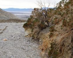
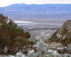
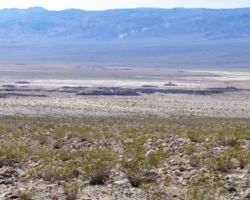
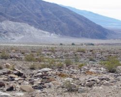
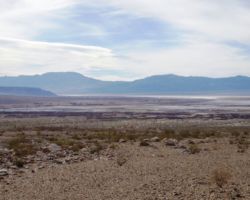
The lovely BLM lady suggested we check out the Argus, from the NorthWest corner of Panamint Valley, way off the beaten path and in the vicinity of some very cool old mines and town sites of its own right. It is hard to say it was off the valley floor, because other than the odd dry lakebed, there really doesn’t appear to be a floor. Everything in the humongous landscape is tilted – the immense alluvial fans forming the aprons of erosion residue oozing out of the mountains on either side. One of the mind blowing aspects of this country is the scale.
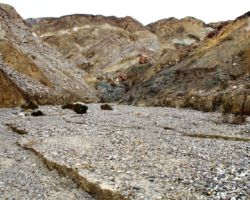
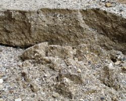
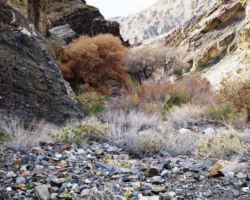
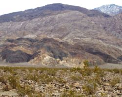
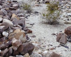
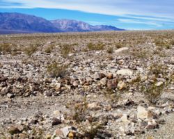
From a distance or a ridge or a peak or a plane, these alluvial fans look smooth and consistent, the sizes of boulders, rocks, stones, and pebbles all organized by their ability to resist gravity as they are so rudely removed from the mountains by rain, wind, wedged out by repeated freezing and thawing, or by the occasional jolt of a fault. From the car or mule level, you can see that the vast majority of this material is pouring out of specific canyons and then spreading out as it is released from the confines of the narrow canyons out into the wide open valleys. The increased volume decreases the rate of the material and it loses some of its juice until it finally comes to rest somewhere along the apron. If one were to head out and walk across these debris fields, one would soon see that the aprons have an great variety of gullies, washes, and elevations, You do an awful lot of climbing up and down and in and out of washes within washes within washes, landscapes within landscapes, results of events within, under, on top of, intertwined within the results of other events, over hundreds of millions of years (geologists please correct me). To make sense of this place is to be insane.
We all have busy lives, but Bob being at a conference in Long Beach Wednesday and Thursday, then at my house at 6:30 am Friday morning ready to go probably wins the prize. Bob and Steve came over Saturday to drop off gear and discuss final arrangements. This was a very good thing, not just since Bob would be gone during the week, but it forced Steve and I to get an earlier start, little by little, day by day, to get our shat together. I had the truck serviced and gassed up the prior Friday. Then I packed and loaded some stuff in the rig Wednesday night. Steve came over Thursday night with a bunch of his stuff, so we were ready to rock Friday morning without too much packing and loading.
We wanted to be off by 7:00, but it may have been 8:00. We rolled down Highway 99 without incident and were getting gas in Bakersfield around noon. Up and over Tehachapi Pass on Highway 58, onto 14 North and then we struck a Northeasterly route with Bob navigating us across smaller roads until we picked up Highway 178. We topped off in Trona to be safe as it was the last gas or supplies of any kind to be had until we returned on our way out. Passing out of Searles valley, leaving the Trona Pinnacles for another time, we passed over the Slate Range and dropped into Panamint Valley. That pass and that vista is one of the most stunning ANYWHERE IN THE WORLD.
We were making good time about 6 hours into the drive and had a pretty good idea of where we wanted to head. It was difficult not to take road after road, pass the Pinnacles, pass Ballarat, but we knew we had to first get settled then all of that would be available to us later in the trip. We found our Minnieta road off 178/Trona-Wildrose Canyon Road/Panamint Valley Road as you move North up Panamint Valley, even though we were 100 yards North of it by the time we actually came to a stop. We turned left and headed up the alluvial fan of what was once hundreds or feet of elevation of the Argus range – now rubble filling up Panamint Valley.
 We climbed, then crested, then descended the back side of the little hump and intersected Nadeau Road, which ran parallel to 178/Trona-Wildrose Road/Panamint Valley Road but typically behind a hump or 2, blocking viewage of the Panamints. There were also roads/tracks leading up into the Argus towards Lookout City, but that was beyond us at this point, and we would have to climb up those rough roads high enough to get the view of the Panamint Range and hopefully high enough to get a view of the valley as well. Way too high.
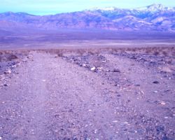
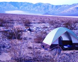
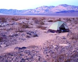
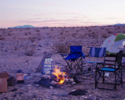
We retraced our steps, or roll as it were, back to the valley side of Minietta road to ensure the view we wanted. After some scouting about, including crossing and driving through a wash that was perhaps 40 feet across and 20 feet deep, up the other side, then back down the wash and back out on the side we entered, and deciding we didn’t want to do that again, we found a little spur that would get us alongside the wash and maybe a hundred or more yards off Minietta. The Creosote Bush was not as thick or as tall as I had hoped, to give us some sense of not being so exposed, but the views were exceptional, the desert pavement was smooth enough in enough spots for tents and camp, and we were at the end of a very long day. This was camp.
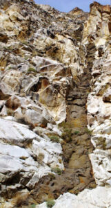 Unloading took minutes, tables were set, fire ring completed, tent sites chosen. Bob and Steve set up pretty near the camp; unusual for both of them. I chose a sandy spot across the road and near the wash – not typically a good idea, but I was not in the wash, just beside it and a few feet above it, so I did not feel like I was pushing my luck or challenging the gods. The temps were fairly perfect; not the high 60’s we were promised, but high 50’s, no wind, cloudy skies, but no precipitation falling from them. This was pretty fantabulous.
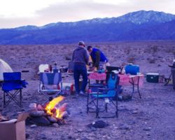
We had a fire going in short order and Bob was heating up a brew he brought prepared for a quick and easy first-night meal. Bob also had made a batch of Manhattan’s in honor of Tommy Two Tone and Uncle Bob and all those whom have enjoyed the liquid of the gods before us. As dark fell, we began to see firelight far off in the distances, one at the last vestiges of Panamint Valley, North of Highway 190 on the far end of Panamint Dry Lake near the dunes. Another light was down towards Ballarat, perhaps from the Timbisha Shoshone Indian Reservation land at the head of Happy Canyon. The coolest one was way up on the ridge of the Telescope Peak; quite a different scene way up in the Mountain Mahogany and Pinyon Pine and the snow. Some day we will camp up there as well.
We had an outstanding meal, bread, drinks, and Snickers. We sat around the fire tired, but extremely satisfied that we had covered as much ground as we had, explored what we explored, and settled in such a great spot with exceptional timing. We had plenty of light to set up camp and get good and settled before darkness covered us. I was tired, and early to bed it was for me.
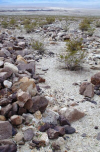 Surprisingly, especially with these two, and rarely for any trip, I was the first up. I had slept very well. I got up once, or on my knees at the edge of my tent, not quite up and certainly not out, to pee, but I was quickly back to a sound and recuperative sleep. The night was calm; the temps were well above freezing, and my sandy bench served me well. As with most mornings, shortly after I am erect, I feel the rumble, so by the time I had wobbled from tent to camp, it was time to grab the shovel and important papers and head off to an appropriate site. This definitely proved more difficult than usual with so little vegetation and so little topography, except for the deep washes, and I did not feel it was appropriate to poop in the wash as next year, month, week, day, all my digging could go for not along with a few hundred million yards of other sand, pebbles, stones, rocks, boulders, and such.
With the other boys fast asleep, or whatever they were doing with their tents in such tight proximity, I took some license with the distance and amount of cover I had between me and the camp, so just across the wash behind the larger of the scattered Creosote Bush, I greeted the sun. Aside from the sound of my feet alighting on the gravel, there was no sound. I did not want to disturb the boys, so I returned shovel to camp and headed up the road. Yesterday, on our brief hunt for camp, Bob and Steve left me and the rig deep in the wash and headed up the other side to a road. I turned the rig around in the wash and made my way out of it, on the side was had started from.
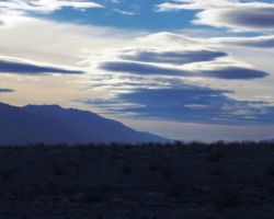
 Other than my morning constitutional, this was the first time, I had been on this side of the wash. The road was good, and rose gradually up the apron. The clouds were pretty thick, so the sunrise was a thin orange strip above the Panamints. Even the breeze that came up with the warming sun was calm, especially with most of the suns energy being absorbed by the clouds. I returned to camp and got the fire going again; the tearing of the paper causing a stir of the boys – fortunately from different tents.
 Bob quickly got coffee going and Steve busted out some outstanding biscotti, breakfast was served. Already the trip was feeling too short as we discussed what we wanted to do. With only 2 full days, we had to be picky about what we wanted to try to accomplish. Bob really was the motivation for the trip, or this destination anyway, having heard about Story Canyon, which after hours of hunting, and researching, and talking to folks, turned out to be Surprise Canyon. Surprise Canyon is one of the better known areas on this side, so it would probably require a full day itself. That left us one day for any other endeavors we chose to partake in. For my money, the most fascinating story in all of DV is William Lewis Manly and his other-worldly trek out of DV, and back to DV to save the 49’er party he was with. He later walked back to New Jersey where he was from and then back to California again, before he settled down in the Santa Clara area. Reading William Manly’s book, Death Valley in 49 is a MUST!, although I cannot now find a link to it on Amazon (it has a bright red cover and is many pages of fine print – but worth it – even to not an avid reader like me).
As such I had wanted to spend some time south of Ballarat near Wingate Pass and Manly Peak, but now you can’t get to Wingate Pass because of China Lake Naval Weapons Center. Since we were further North up the valley, we decided on Jail Canyon, off Indian Ranch Road. So we packed up the ice chests and lunch stuff and hiking stuff and headed out.
We ended up being less than 2 miles from the paved of Panamint Valley Road, as it is named this close to Highway 190, and as we turned right to head back to Indian Ranch Road, I couldn’t recall the road between here and there. We had located Indian Ranch Road the previous day coming in so that was an easy left turn, but as it turned out, I completely forgot about the stop sign and intersection where Wildrose Canyon road breaks off and heads up over a lower shoulder of the Panamints. Even more startling was that we had stopped momentarily on the way in and considered bypassing the “Road Closed” sign, to get up as far as we could and camp somewhere along there, but we figured we’d be good Boy Scouts and not penetrate the interior. All that I had completely forgotten so it was surprising to come to that spot just a few hours later.
 The nice old Bureau of Land Management (BLM) lady had said that the roads and canyons and such were pretty well marked. Having been out in a lot of BLM land, what may at one time been well marked roads and trails were often shot up, damaged, and/or destroyed by yahoos. However, being on the outskirts of DVNP, and some of these roads and trails providing access to, or former access to the park, I figured there may be signage. However, there weren’t none. The roads/tracks off Indian Valley were tough to find, and when you saw one, you often couldn’t tell if it were a road, a pull out, on old road, an old road that has been washed away, or a pull out that never quite rose to road status.
There were the brown plastic road markers, but they often gave a road number, while our National Park Service (NPS) maps had road names. This wasn’t such a big deal as we didn’t really care, but it another situation where you have 2 federal park/land management agencies using different ways to identify stuff and it gets annoying when you are trying to follow the rules and it is made more difficult because of the managing agencies. We took the road that we thought was the road to Jail Canyon, which quickly turned to a gravel wash, which quickly turned to a rough rocky rock bed, which I quickly realized we needed to exit.
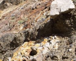
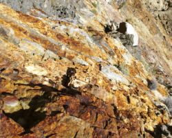
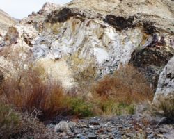
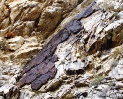
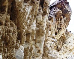
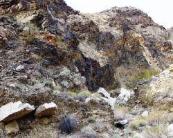
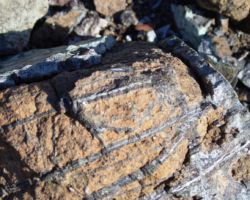
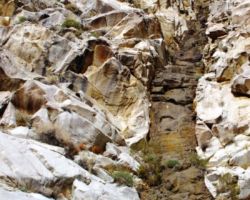
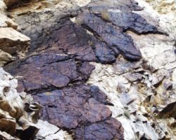
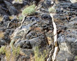
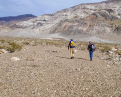
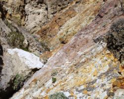
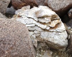
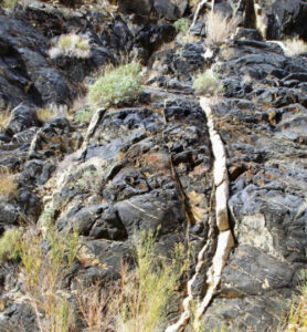
 Much of the Panamints are composed of Precambrian metamorphic rocks that were later intruded by Cretaceous granite. Hot mineral solutions created quartz veins at the contact of the 2 rock types. These quartz veins contain gold, silver, lead, and zinc. The first mine up Jail Canyon was the Gem mine, followed by the Corona and several other. You have to cross about 3 miles of alluvial fan before you access the canyon, and I don’t think we made it more than 1, before we exited by a fire ring and a large patch of very smooth desert pavement. We loaded up our day packs and began to wander up the alluvial fan, in and out or and across hundreds of washes, those you could step across to those that were 50 feet across and 20 feet deep, none of which you can see or identify until you are near on top of them.
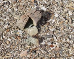
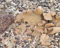
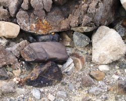
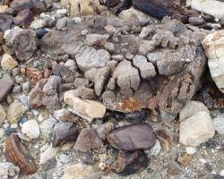
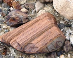
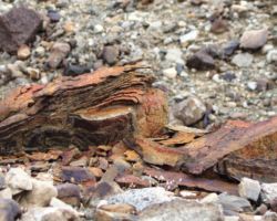
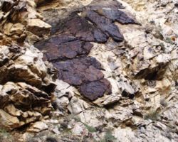
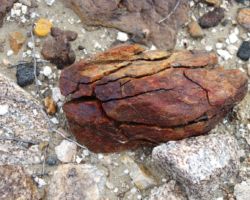
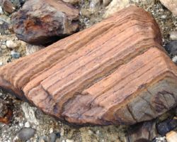
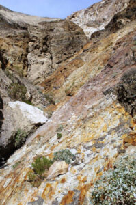
Many times in these vast open desert spaces, you will feel like you are in the scene of Monty Python and the Holy Grail where the small army is riding their horses toward the castle but they just never seem to get there. The distances are very difficult to estimate, and this was no different. We walked and stumbled and stopped dozens of time to check out trippy rocks, formations, small patches of perfectly smooth desert pavement surrounded by acres of rocks and boulders that somehow didn’t cover those patches. The colors in the rock, and the seemingly infinite variation in rock types, combinations, textures, densities, and layering, will make you stop and wonder, but we seemed to be walking for a long long time and still be a long long way away from the mouth of the canyon.
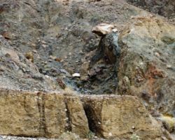
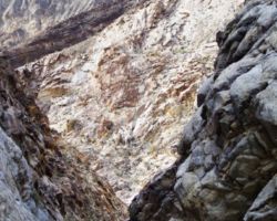
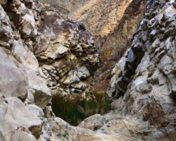
 I do believe we also lost our focus a bit with trying to merge towards the direction that we thought the road to Jail Canyon was going, versus just heading for the canyon closest to us. I don’t think we ended up in jail Canyon, nor Hall Canyon which is supposed to be the next one over, as at one time a Jeep road connected the 2. I think we ended up in Steve, Bob, and jerry’s canyon, which fortunately was about 200 yards deep. It was just perfect. After not being to drive very far, and hiking a lot more than I think we initially set out to do, we got up to the 20 foot tall, 15 feet across solid rock fall that plugged the canyon. The narrow walls caused a little echo in our voices and allowed us to almost whisper but still be heard. Although the plug seemed very solid, the walls clearly were not as we passed piles of rubble where a chunk had broken loose, or an overhang had finally given in to gravity, or a massive boulder that had slowly been uncovered by all the smaller lose stuff around it being eroded, came tumbling down.
 All that past activity made it a little difficult to relax at the base of walls hundreds of feet above you, but it was so quiet and so calm and we felt good about our effort to get up here and not knowing or much caring about exactly where we were, we were very happy to be here. We had a great lunch of lunch meat, cheese, trail mix, dried Apricots, bread, crackers, and several celebratory beverages, and then began our stumble back to the truck. We never saw any signs of the road to Jail Canyon that was supposed to be on our left heading up that now would be on our right heading out, but we could see some of the homes of the Indian Reservation off to our left, so we tried to veer about the same distance away from them, while also following a massive wash that was much easier to walk in.
 At about the point we had been walking for a while and were prepared to see the rig, we laughed at my tan color choice making it near impossible to spot. I bit longer and I was ready to click my automatic door opened like the old timers used to do back in the day, but Bob spotted the sunlight reflecting off the glass and we were good to go. We had done an excellent job of navigating to an unknown destination, and an even better one back to the rig. We scouted the rest of Indian Ranch Road, looking for better sign of the road into Surprise Canyon for tomorrow, and looking at the few scattered RV’s and massive 5th wheels parked in small groups here and there. We saw a real cute little burro with spots around its eyes and cool markings taking a dust bath. We cruised main street Ballarat and barely saw a sole. We read the historical markers along 178/Trona-Wildrose Canyon Road, and headed back to camp arriving the instant cocktail hour began – what incredible timing.
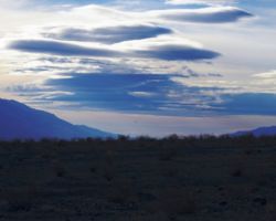
We got the fire going and Steve got to work heating up his seafood pasta brew. The falling light globe made for some magical scenery down in the valley below, especially North to the dunes and this massive black rock near them. Now the decision to camp on this side of the valley in the Argus that gave us the view of the Panamints really paid of as the evening shined upon them in all their glory. The calm, the quiet, our camp, the trusty rig, the smell of delicious food, some great mellow tunes, a couple friends perched out in the middle of Panamint Valley – it was all good.
 I was interested to see what fire or other lights we could see as darkness fell. The clouds covered all but a few stars and most of the moonlight. Steve and I took a great walk up the road across the wash, up the fan, up and up, past one bend and then another and if the road doesn’t end by this point and that. The fans don’t look like much, but your breathing and the vista you attain when you turn around let you know you are climbing. We could probably have crested this fan, and then dropped down into the perpendicular wash behind us at the base of the Argus to pick up Nadeau road and circle back around to Minnieta road and then onto our spur, However, I didn’t think I was up for that, and as it was, when we stopped our trek and decided to simply turn around and retrace our steps back down the road, we still got onto a different track, fortunately one that I had been on during my early morning walk, so trying to do something more extravagant that night might surly have turned into much more than we were up to.
 Upon return to camp, I was destined for bed, and quickly retired. Bob and Steve lingered by the fire and were visited by a beautiful Kit fox. It scampered around the camp this way and that, scoping them out and smelling what there was to smell. He came in remarkably close they thought and were happy for the nice visit. The next morning I again was up first and off to my morning routine. I got the fire going and again woke the boys after a brief walkabout from my tearing of the scraps of the cardboard box flaps. Slumber interruptus complete, the zippers, unzipped, the grunts and groans emanating, morning had arrived. Coffee, biscotti, toast with honey, Bob made eggs and sausage and more coffee. Not much of a sunrise due to the cloud cover, but perfect temps., no precip., peace, quiet, calm, distance, lighting, alive.
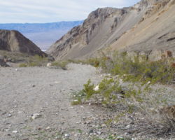
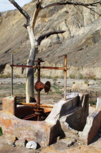 We soon began preparations for the penetration of Surprise (not Story) Canyon. We gained much valuable experience the day before, especially with how much rock weight one can carry in day packs before the zippers open. Yesterday had gone so well, we were confident in the days sortie. Preparations complete, we were off by 9:00 or so again, with a great day ahead of us. We again found the signage lacking, but being the intrepid explorers we were, we figured the massive RVs and 5th wheels marked the spot. They actually were just about in the location of the tri-weekly stage that ran from Darwin, to Lookout, to Ballarat and then up Surprise Canyon to Panamint City from 1874 to 1876. Although only un pero was waiting outside now, we followed his advice and headed up the road. We stopped at the last bend in the road before being up in the canyon for a vista out over the valley reaching out in both directions below. The road was bounded by a 15 foot wall of rock debris, the former top of Telescope Peak on one side, and a 20 x 20 chasm on the other, the shoot that deposited much of the debris out in the open plain.
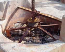
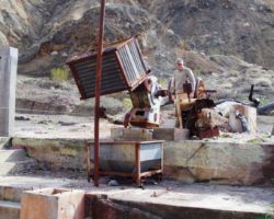
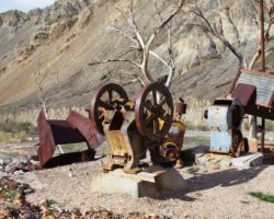
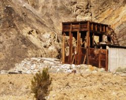
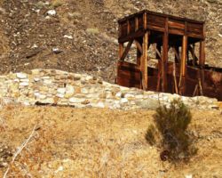
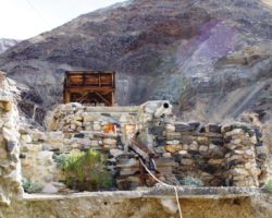
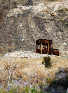
 The road was graded and very easy going 6 miles right up to Chris Wicht camp. There are lots of ruins here – foundations, concrete work, rock walls and such. The camp burned several years ago so no wood is left and all the trees are either dead or completely gone. It remains quite a site though, plenty for the imagination to recreate what life here must have been like for the Ballarat bartender at the turn of the century. I can’t find much about Novack, except he apparently is buried up on the hill, or at least has a marker up there overlooking the camp. I just had a twilight Zone moment; one of the books I have had for years and am referring to is written by Remi Nadeau, the same namesake, I imagine a couple generations younger than the Remi Nadeau that ran freight, gold and silver out of this area along Nadeau Road, which we were on and near which we are camped – What?
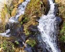
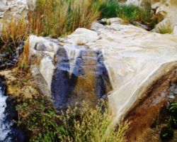
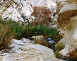
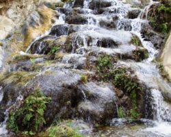
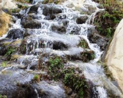
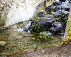
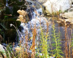
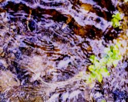
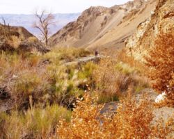
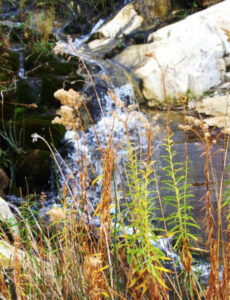
The road ends at Wicht camp and the trail begins up Surprise (not Story) Canyon. This hike of off the charts. Throughout much of Death Valley, while the valley is dry as a bone and a blast furnace in the summer, the canyons are much cooler and many of them have surface water and springs with much vegetation which brings in birdies and wildlife. The upper canyons are vastly different than that open valley expanses, but even having experienced this many times, it did not prepare me for how much water was running out of the canyon. The trail for much of the lower stretch is under water, and when you are not in it, you are frequently crossing and re-crossing the streams.
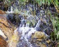
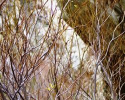
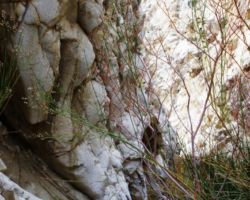
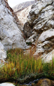
 There were a couple stair-step cascades that developed 5’ x 5’ by one foot deep pools at the bottom. The narrow canyon was full of brush and small cottonwood and willow, thick enough that you had to pick your way and push branches out of your path. In many places, the brush was 8 – 10’ tall and along with the narrow vertical walls, you could easily feel claustrophobic. However, there also are numerous side canyons and wide spots and rock ledges, one of which was used for a break, for as with the alluvial fans, the brush and slow going of clamboring over rock falls, and along narrow ledges, masks the fact that you are constantly and steadily climbing elevation. My breathing was never really labored because you don’t really have enough open space to get a good pace going, with hunting for the trail, picking courses, carefully placing feet to choose the most stable footing, trying to be careful to do minimal plant crushing and cause minimal erosion in the creek bed, working hand holds on the rock faces that must be traversed.
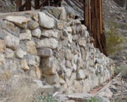
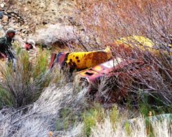
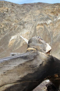
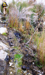 We passed one yellow mangled trailer or vehicle mostly buried in the canyon. It appeared to be a commercial trailer perhaps used when they were trying to maintain the road that once, apparently, came up this canyon. It is extremely hard to believe a road ever came up this canyon and if not for the historical record of the stage and the amount of ore they took out of Panamint City high up in this canyon, I would never believe that people were able to drive to Panamint City in station wagons in the 50’s, or Jeepers came through in the 80’s, even if they had to winch their way up the 2 or 3 6’ waterfalls that existed at the time. Now, it is difficult to walk through, and driving, motorcycle, or even mule is just way beyond comprehension. Thankfully, and I don’t say this often, a court closed the canyon to vehicles, or I am sure yahoos would still be ripping it up and destroying it.
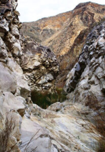 We only saw one birdie which was disappointing considering the water and vegetation. We did hear a froggy though; perhaps he was less impressed with our gibberish as we slowly made our way up, and we were just too much for the birds. We hadn’t gone nearly as far as we had hoped we had gone, and knew we weren’t getting anywhere near Panamint City, so the question was how far to go. I wish I knew that Limestone Spring was 1.7 miles up, as I would have liked to get that far and kind of know we had gone that far, but perhaps another time. We came to a large yellow commercial truck, on its side and 60 percent buried. It could have been a road construction truck that pulled the trailer below that had been washed further down the canyon in one of the numerous colossal flash floods that occurs in these parts. Above, the canyon seemed to open a bit and perhaps even flatten its grade a bit, but as with hiking up those backpacking switchbacks, the top never seems to come, and the next turn leads only to another turn. We figured we had accomplished enough and had been treated to extraordinary scenery, mind-blowing geology, and had had a private showing, so we were happy with our exploring and any thoughts of pushing further up the canyon were unmatched with the needed energy and tenacity.
 Plus, much of what was Panamint City some 4 miles and 3500’ higher up the canyon was now below our feet. P-City was another in a long line of short lived booms. It exploded in 1873 when Richard Jacobs discovered Silver. Within 2 years, main street was a mile long and stages were coming up the canyon 3 times a week to the town high up on the mountain side. But the “Bank Panic” of 1875 played havoc on mining stocks, and then a flash flood in 1876 washed much of the town away. On May 1, 1877, the stock market crashed due to the news that Virginia City mines had played out. Attempts were made in 1925 and again in 1947 to mine the silver, but were short lived.
As we drove back through Ballarat, town was booming. There must have been people in front of the one building that comprises town, so we thought we would stop and see what we could learn of the outside world. Well, the outside world was not welcome in Ballarat. Seemed most folk didn’t know there was football being played let alone this was the Divisional round weekend. As I approached the four fellas sitting on the front porch, 2 were straight out of the ghost town stories I had been reading; the other 2 seemed to have sat down a year ago and couldn’t get up.
 The oldest feller, who was probably not much older than me, but with his shoulder length straggly gray/white hair and alternating tooth pattern offered me a snort of his moonshine and motioned to the table that contained a few cigarette butts, ash trays, empty beer cans, about 8 diet Mountain Dews, and other assorted sundries. Standing above the rest was a 2 liter rectangular Crystal geyser bottle with about 3 inches of clear fluid in it. He claimed it was 190 proof and judging by his companions, I felt obligated to accept his generosity and forego any concerns about placing my lips where theirs had clearly been.
I was glad I did. I am sure every germ, parasite, and impurity in my body was burned away. I felt pure, like the feeling one would have being baptized, life was clear. Just before I grabbed a chair and discussed the price of a jar of said fluid, Bob appeared by my side, and rather than interfering with the attraction I was falling under with these boys, he wrapped his lips around that jug also. I assume that if it was good moonshine, those plastic walls would have been melted away, so maybe it wasn’t 190 proof – I don’t know how to do the math. But it really wasn’t that bad, and apparently good enough to keep the guy who had driven from Oregon and was supposed to be driving to Porterville, but hadn’t gotten past the table yet. I’d love to have the recipe. A group of jeepers pulled up and we inquired if they knew about the scores of the games and they just gestured towards the Panamints and said “We’ve been up there”. Another group of jeepers were pulling away and they should shrugged their shoulders and said they didn’t know about football. Geeze – I mean come on. We’re not in Istanbul.
 We pushed AM buttons until out fingers were raw as we headed out of town. Up and down FM just in case; back through the AMs. We’d get something and it would fade. We’d get something and it would be Spanish or Christian or Spanish Christian. Down this middle stretch of 178/Trona-Wildrose Canyon Road/Panamint Valley Road, probably more of the Trona-Wildrose Canyon Road part we cruised, a fantabulous day behind us, another great evening in front, but still in quest of our NFL fix. Suddenly, from atmosphere, a crisp clean radio broadcast of the Denver/Pittsburg game. I pulled over immediately and from our little hill rise, in the middle of Panamint Valley, the three of us listened to the last few thrilling minutes of Denver getting possession late and Peyton leading them on the game-winning scoring drive, and then another field goal to seal the deal. It was just perfect.
 We also gathered from the discussion that New England had won and the Arizona had won, so that last piece we needed was Carolina, but three out of four ain’t bad. We again sped past Minnieta road, stopped several hundred feet past, reversed, and took our left turn back to camp. Steve’s pile of pasta he had put out was gone, so someone had a great meal. We were quick to the fire, and quick to the happy hour festivities. The menu was meat and I was happy for it after having such excellent pasta and seafood. Ribs, sausage, steak, bread. If we had baked instead of green beans we could have been pretty historically accurate.
It wasn’t long before our neighbor’s fires could be seen far off in the distance; the sand dunes, Ballarat, and high up on Telescope, and soon our camp visitor returned. The little fox was incredibly brave or tame, He came within feet of us sitting in our chairs and grabbed pieces of bread or a slice of sausage; we thought he’d appreciate some water but interestingly enough, he wasn’t interested in the liquid – he too was happy with the meat and bread. Very very interested it turned out, so much so that in the middle of the night, he was spotted on top of our camp table, sniffing about and opening container lids to explore whenever possible. He toppled pots and pans and made a huge racket.
 Bob got up and chased him off and then just stayed up. Steve wasn’t far behind as it was closer to dawn than I had thought. With those two on point, I grabbed a few more winks until it was clearly dawn. I had again slept very well, and felt pretty darned good when I got up. I had a ton of prints around my tent that I thought might have been the squawky road runner or some such bird I hear in the night, but I am not sure road runners make noise, and my tracks were just that, my tracks. Nonetheless, it was another glorious morning in the desert, quiet, calm, and peaceful, and being Monday, Martin Luther King Day, it was the day we must depart.
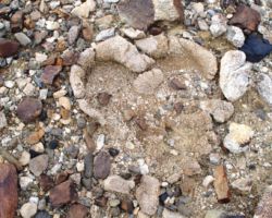
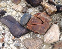
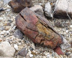
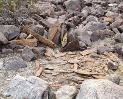
 Like the rest of the trip, it all just happened calmly, smoothly, organically. We had a nice fire, a nice breakfast, and just started picking up a little here and there, combining, condensing, coalescing. I am always glad to get to camp to unload the burden from the truck, especially on these desert trips where we haul much wood and water. Lately, however, we have been at least equaling the weight of the wood and water and being fully geared up with the return haul of rock. This confounds me. But we were very happy with our haul and they would make find memories closer to us as we caught a glimpse in the gardens or along a path.
 With little effort and no urgency, we were soon packed and loaded. I sat upon a rock away from my former tent site and had a beer and soaked in all that I could while I could. Bob joined me and then Steve and we shared each other’s company and memories and joys. It was good to be there and it was good to be together. With one last parting shot, we were off, to finally turn left onto Panamint Valley Road and travel beyond the overage spot from bypassing our turn, but to actually intentionally travel this road to Panamint Springs.
 The fellers in that place were equally disinterested in the outside world, the football part anyway, and we left there relieved, rehydrated, and refreshed, but no wiser to the outcome of the Carolina/Seahawk game. We climbed the incredible road up and out of the valley, past the gorgeous red rock formations, Darwin, Father Crowley point, the road to Saline Valley and finally alongside sickly Owens Lake. It is possible we should return to the hills to the SouthEast in another winter or so to experience the dissolution of so many winter storms on the East side of the Sierra, the rain shadow as it is called. As we drove past, the humidity was about 100% as the storm residue remained in the canyons of the eastern Sierra and some fine mist even made it onto our windshield as we gathered speed south along Highway 395. We couldn’t see 200 feet up into the canyons or mountains as the clouds we socked in there thick, but across 395 it was sunny and blue, so as we often talk about all the views of the Sierra’s we have had from points further East, this area has left another calling card. We shall return. And, Carolina won. And, right now, as I finish this with Remi Nadeau by my side, and a Sierra Nevada Porter that I brought on the trip but didn’t imbibe, I will finish up and watch NE vs. Peyton and the broncos and then Carolina and AZ in the Championship series. Oh what fun.


