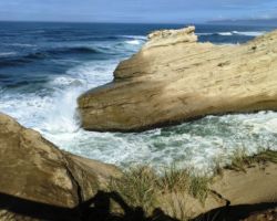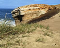
Oregon Coast 4
Trip Date: September 20, 2021
 This year we only had to cover about the last 70 miles of the northernmost stretch of coast, which seemed like such a small area, until we realized the entire State of Oregon only has some 345 miles of coastline, so we still had 20% of the coast to cover, and we wanted to go to a lot of the Lewis & Clark sites, exhibits, and museums, so that too would take some time.
Since our last trip, Kristen’s nephew Shawn and his family had moved from Utah to Bonney Lake, just SE of Tacoma WA. They agreed to take Beth for a few days while we finished our trek, so we drove straight to Portland in one shot, and Sharidi met us at the hotel to take Beth back with her. It all worked out well, with traffic, and timing, and coordinates. We had a nice visit and a rest, before Beth and Sharidy headed out for Washington. We were telling Beth she would wake up in California and go to sleep in Washington. Quite a days’ work.
In addition to this hotel being on the NW side of town, thus being an easy place for Sharidi to get to, it was in a part of town with a ton of bars and restaurants within walking distance, so if we wanted to wander about for some food, or just to stretch our legs and get some air, we were in a good spot. Being on the West side of town, it also made for an easy exit the next morning out to the West coast.
Once Beth and Sharidy left, we walked around looking for some grub and happened upon a healthy sounding option. We got a couple of chicken and vege bowls that were super tasty and we sat outside and people watched as they came and went from the surrounding establishments. The food was really delicious and the people were super nice and friendly. We both went inside to thank them and tell them how good it was. I would have loved to walk a bit more, but I only wore my slip on sandals, which I only got to where around the house, or, in this case, the motel room. I have never walked well in sandals like that, so the walking was rough, and I was happy for the short stroll back to the room.
Sleep was pretty good, but I was up early anxious to go. We brought our thin continental breakfast out to the balcony and watched the birdies and the kitty do their morning routines, in and out of the Cedar tree and the shrubbery. We filled up the gas tank in Hillsboro before picking up Highway 6 and heading for Tillamook. Unfortunately, it must have been slaughter day or cheese water flush day because the town reeked very badly of stench. It was a major gut punch when we opened the car door and were embarrassed to ask WTF?
 Oregon is full of breweries and I wanted to hit a couple. As it was, there was a Pelican Brewing Co kitty corner from where we parked so we hit that to get our bearings and plan the next step. We noticed some food trucks in a little city lot with seating and a covered area, so we decided to walk down and eat there. We both got smoked meat sandwiches, pork for me and turkey for K, and we sat under the overhang in the shade and watched the people and tried to ignore the stank. I was torn between the place I got the sandwich and another truck, so I hit them up for a sandwich and a massive helping of macaroni and cheese with bacon to go.
We hit the Safeway for ice and a few things before heading out of town, eventually passing the massive Tillamook Cheese Factory and tourist stop. It is interesting how we form our opinions of places by the few seconds we often take to “experience” them. I always got a kick out of people saying “I’ve been there” as if it was an iron clad argument for their opinion, even though “being there” is just another freeze frame image among millions and millions of images.
I was glad we didn’t see the Tillamook factory until we were on our way out as it altered my take on the entire sweet little town. Beaverton and Hillsboro failed to impress earlier in the day as what we saw from the main drag were the strip malls, stores, car lots, convenience stores, dispensaries, and other fine examples of American capitalism. We didn’t take a side road or follow a winding country road out to the farms, creeks and rivers. But, we were on our way to somewhere else, although I will say, we liked what we saw in Forest Grove.
On down to the coast on Highway 131 a few miles from Tillamook to Whiskey Creek/Netarts Bay Road, it again changed names to Cape Lookout Road after about 10 miles and we finally arrived at our campground at Cape Lookout State Park. This was our 3rd Oregon State Park we have camped in, the others being Sunset Bay last time, and Cape Blanco the time before. Oregon does a fantastic job with their state parks. The campgrounds are nice, spacious, private, everything is clean, and well maintained, so it is a safe, confident bet to make plans and count on them.
Cape Lookout was no exception. The reservation system does a good job of giving you a picture of each site, so you have a pretty good idea of what you are getting. We also go in October, well after the crowds and so typically have a choice of decent sites, rather than the ones next to the toilets, host, or dumpsters. Our site was pretty much as advertised, although I couldn’t help look around at options a little bit.
I was also determined not to buy wood, being a proud member of the “I’m never going to buy campfire wood” club, I scrounged the nearby sites like I recall my uncles doing in the old days, scrounging for whatever wood they could find that was left behind, or at a minimum, momentarily unattended. At the last campsite I scoured, the farthest I was willing to roam, I scored a decent pile, with only minimal detection. As we were traveling in the Rav 4, we had minimal gear. No stove, no propane, no kitchen stuff, no water container. It was our first time camping out of the tiny rig, and having Beth with us and all her gear, we didn’t have much room for camping stuff, so we made a conscious effort to use the site strictly for sleeping, so setting up the tent and bedding was pretty much our only task.
Once that was done we were done for the day. This was our no drive day, so we did a couple loops around the camp to get our bearings and find the bathrooms and showers and then headed out to the beach. It is always interesting for me usually doing so much Googly work to prepare for our trips, I have somewhat of an idea of what some places look like from seeing them on line and looking at so many photos people post. Loop “A” of the campground which is basically a sand dune away from the beach was just as I had imagined. It was open and windswept and salty and sandy. It was way too exposed for me, even though our weather was calm and perfect, I was happy we were tucked in the forest.
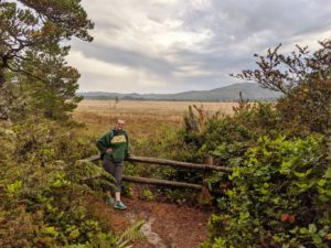
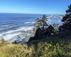
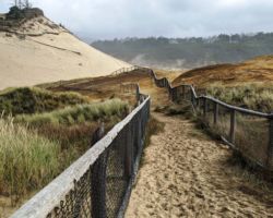
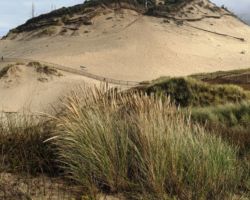
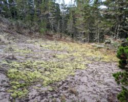
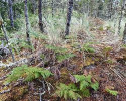
We followed a path that kept us away from the beach on the other side of the long dune, more like a levy along the Sacramento Delta. Even though we were feet from the beach, it was a totally different environment of grasses, blackberries, and shrubs, which slowly gave way to trees and then forest the farther inland one went. We had hoped for a break in the dune, or at least a good path over it; with none present, we had to boony crash through, up and over. Up on top, we were afforded great views up and down this massive stretch of empty beach.
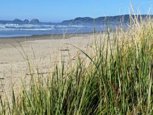
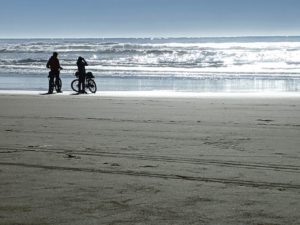
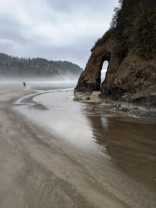
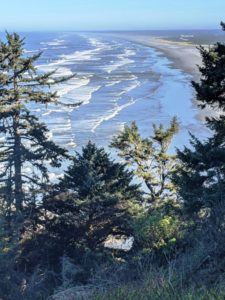
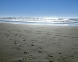
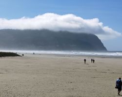
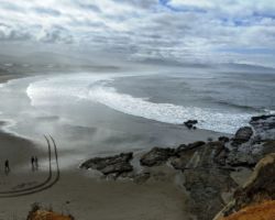
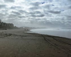
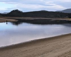
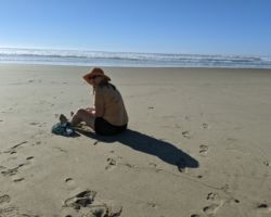
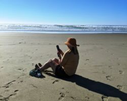
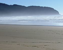
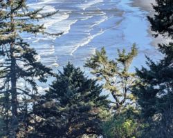
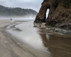
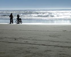
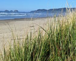
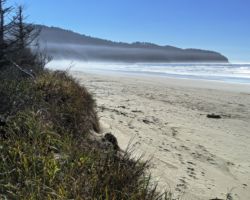
This was one of the most spectacular beaches I have ever been on. It was wide, and smooth, and flat, and clean; almost no shells or rocks, or pebbles, or stick. Very few driftwood logs had washed up and they were neatly pressed against the dune. The waves were so gently and calm; the waves were soothing in their regular beat. We couldn’t help but head down the long stretch for some time. We saw maybe 10 people at various times; mostly in 1’s, and 2’s, with one family of 4 on electric bikes.
Looking at Googly now, I see this spit went for 5 miles to the mouth of Netarts Bay, just a sand strip about 500’ wide with a strip of coastal vegetation on the east side shaped like a lamb rib, super narrow at the campground end and fairly substantial by the time you get to the mouth of the bay. With the sand so fine and firm, it would have been great to get to the mouth, but that will have to wait for another day. We had a wonderful walk along the beach; a perfect re-introduction to the coast and a perfectly relaxing afternoon.
Back at camp, I had to admit my measly pile of damp stick was going to be insufficient for a fire, so with tale between my legs, the city slicker coughed up the $5 for 5 sticks of Alder. My god, what have we become. At least I had a real ax with me, so I was able to split the pieces into some nice kindling, although it still took 4 attempts to actually get the wood to burn. Then we had a nice fire, some beverages, and some of the leftovers we brought with us for a tasty dinner. We were very early to bed.
Sleep was scarce as I was excited to get going. We were up and out early, not having a stove or food. I had a breakfast drink and some fruit and we were off, heading South along coastal roads until we passed Clay Myers State Natural Area at Whalen Island, (not to be confused with Clay Matthews bus stop). It was one of the areas that I thought we could explore, and since it was early and we had plenty of time, we turned around and parked in the empty parking lot. This was a beautiful little spot, made even more fantastic by the absence of other humans.
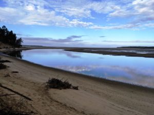
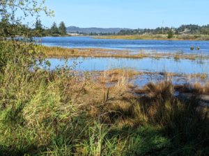
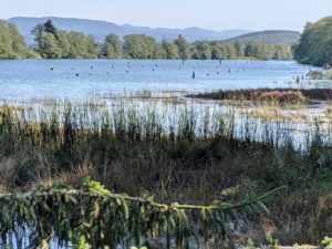
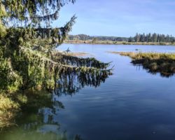
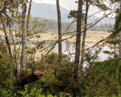
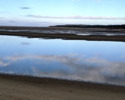
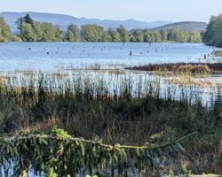
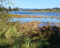
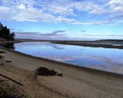
We took a nice couple mile loop trail through forest, and meadow, and finally along Sand Lake, another of those Oregon coastal oddities; uncertain if it is bay, river, marsh, wetland, estuary, all completely impacted by the tides, they are of immense beauty and tranquility, especially in the calm, cool, misty early morning. Despite not knowing if we were on a trail, or on the right path most of the time, we found our way and had a great morning stroll.
Further down the coast, we came to Pacific City and K wanted a coffee. This was a popular spot with a lot of people and traffic and pedestrians and no parking, but K got her fix and I eventually realized this was another spot I wanted to explore. We crossed over the road to a huge parking lot at Cape Kiwanda State Natural Area. We stopped to read about the Dory boat fishing fleet being launched from this beach by hand and riding the waves back in right up onto the beach. There is no dock or marina; they just rides the waves, although not rowing by hand anymore, as they first did in 1887.
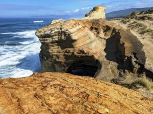
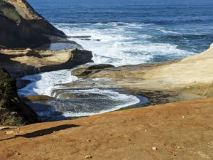
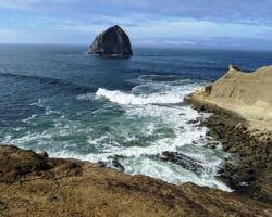
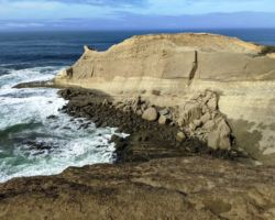
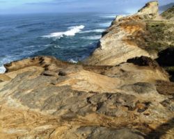
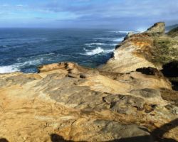
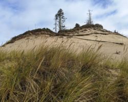
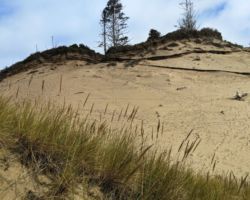
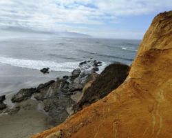
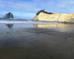
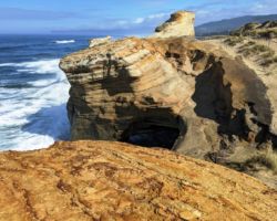
We headed to the beach and then up the massive sand dune up to a sandstone point, 1 of the 3 Capes as they call them, Kiwanda along with Lookout, and Meares. The vistas of the ocean, beach, ton, and forested mountains from up top were incredible. We lingered quite a while, waiting for the hawk to fly out of the tree, and even got to see a dory boat come in. It was a great stop.
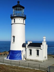
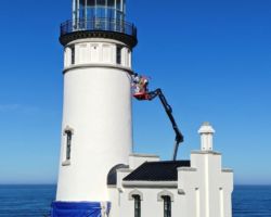
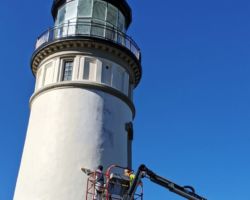
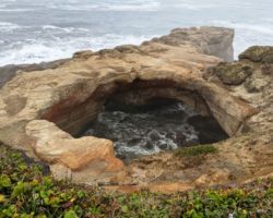
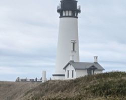
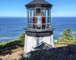
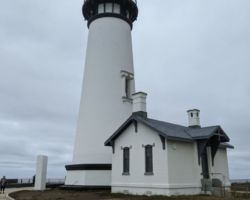
A little further South we picked up 101, and it felt like we needed to head south to meet up with the northernmost point of our last trip to connect the dots. We passed through Lincoln City with its Devils Lake which I wished we had more time to explore. We stopped at Devils Punch Bowl and look a little walk out there. We stopped at Yaquina Head Lighthouse to check it out. Our visit was brief, however, for not only was it closed, the flies were abundant and aggressive. My hunch was all the bird poop on the rocks kept them fed and healthy and multiplying.
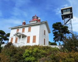
A little further South, we passed the turnoff for Highway 20 which we took into Corvalis on our way home last trip and thus connected to our last trip. We crossed over Yaquina Bay on Yaquina Bay Bridge and entered South Beach only far enough to find a semi safe place to turn around. Back over the bridge, we headed out to Yaquina Bay Lighthouse, which was also closed and a bit disappointing. However, we walked up the steep path nonetheless, and found the most delightful little old lady volunteer docent who seemed pleased/relieved to see people who may be semi-young, semi-intelligent, semi-interested, semi-polite, semi-courteous.
We talked and laughed with her for quite a while and in so doing, learned this was the only lighthouse on the Oregon coast that is made of wood, and that has the living quarters and the light in the same building. Next to it stood an electronic beacon tower that we learned is continuously staffed by the US Coast Guard, the modern day version of our antiquated lighthouse system, although not a whole lot different considering a couple people are still sitting up in a tower on a bluff staring out to sea.
We headed back to the car and ate some lunch while looking out over the entrance to the Bay and watching the people and cars interact in the parking lot. We had a nice break and rest and then felt a little rush to get going. With our southern connection made, we turned back North, just a little giddy to have reached our destination, and knowing in 2 days, we would have completed our journey to explore the entire coast. I had seen a Googly the Neskowin Ghost Forest and it had stuck with me, so I wanted to check it out. Sometimes, it is good to follow your subconscious.
Neskowin turned out to be one of the coolest tiny communities we saw. The entire community was barely 2.5 miles long. Most of the roads led to one house, with the exception of the one “neighborhood” we drove through. These places weren’t as fancy as Carmel, but they were just a cute, well-cared for, neat, and clean. It was like each one had just had a face lift. They were each individual and unique but all really nice. We were blown away. I had the feeling it was a Native American tribal community because they really did their best to discourage any parking, and therefore access to the beach.
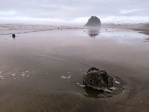
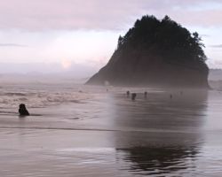
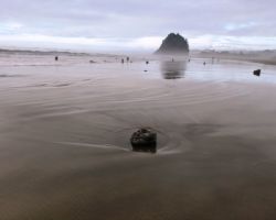
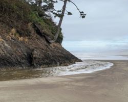
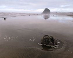
We gave it a good try, but with the day getting pretty long, we just stopped and parked, and walked down the trail and stairs to the sandy strip of Neskowin Beach. Proposal Rock sits on the beach, a very cool and rather different kind of lone island or stack because it is literally on the beach; it isn’t inaccessible out in the water surrounded by waves and surf. Neskowin Creek runs right to it, across the sandy beach but on the surface, nt absorbed into the sand. When it hits Proposal rock, it splits in half, some of the creek going around the North side of the rock and some very equal amount heading around the south apron.
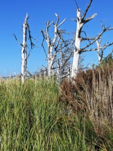
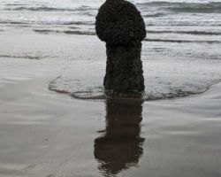
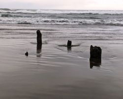
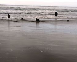
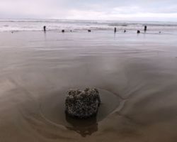
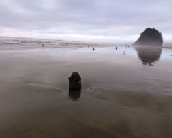
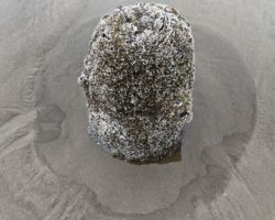
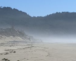
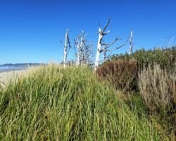
This was reward enough, but we still hadn’t found the “Ghost Forest”. We took our shoes off to cross over Neskowin creek in the middle of the beach and walked South where I recall the ancient tree stumps were. We eventually saw them in the growing dusk of the long day. There were hardly any stumps left, nothing like the picture I saw from some distant time, but it was still very cool, and I was super happy to have found it. We stayed on the beach quite some time, barefoot in the surf, taking lots of pictures, and enjoying another awesome day on the Oregon Coast. This was a special spot.
I was somewhat relieved to find the car still there and unmolested. We headed back and stopped at the deli and market to get some food for tonight and the drive back. It was a sweet little store full of great sandwich and deli fixings, nice chocolates and upscale beachy/tourist treats. There was also a cool café that had a ton of people, a beer house, and a little coffee van. This is a place I could definitely come back to, although my lasting memory was that I had to buy more firewood, this time $6 for 5 sticks. Oh the humanity!
Retracing our steps back to camp, we were only about 20 miles away. We got back just about dusk and got a nice fire going. Having put the pork sandwich on the bottom of the ice chest and only able to use little bags of ice which do melt, we had to give up on the floating sandwich mush, however, we made the best of the slightly wet macaroni with bacon. We heated it up in a foil wrap and it turned out very edible. We had some great sourdough and sharp cheddar cheese from Tillamook and a couple dark chocolates from the Neskowin store. It was already sad to think we would pack up and head North tomorrow.
Sleep was excellent and the rain we expected in the morning proved to barely be a heavy dampness. I had a nice hot shower in the dank, well-used shower house, and we were on our way, past Netarts Bay, into Netarts and the Schooner Restaurant and Lounge. I was looking for breakfast on the water, and this was the perfect place, but often passing up a perfect place for a more perfect place, I passed her by. We drove through what there is of town, and seeing nothing, relented and returned to the Schooner, only to find it closed.
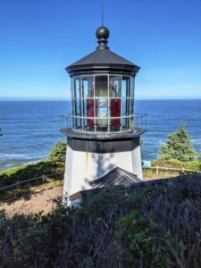
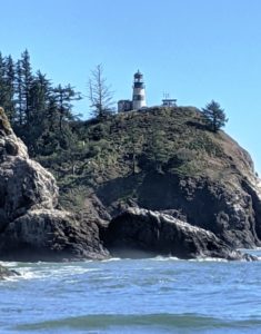
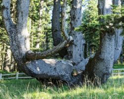
We headed up the coast towards Cape Meares Lighthouse to complete the 3 Capes tour, passing through Oceanside, only to find Roseanna’s café also closed. Onward we persevered, up to the Lighthouse and the Octopus Tree, although this lighthouse was closed also, and an even bigger surprise was that the loop road around the point was also closed and appeared to have been closed permanently some time ago. Backtracking into Tillamook, we hit the Safeway for coffee and biscuits and road food and headed back up 101. It was Lewis and Clark time.
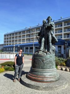
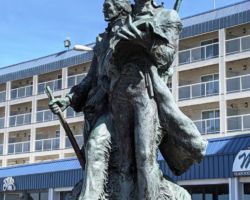
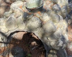
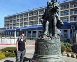
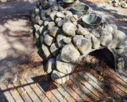
I have read Undaunted Courage and watched my share of movies and documentaries, so I was super excited to get some more historical on-the-ground context. Unfortunately, our first stop was Seaside, the Wally World of the Oregon Coast and ugly American/Euro-trash tourist bus must go. It was harsh. A carnival of crap trinkets and crap food and every form of general crap that could be sold. Allegedly, there was a statue of L&C that I wanted to see, but as with every virtual reality Disney, Studio City, Vegas, Funderland kind of altering of the senses, this statue claimed to be the “End of the Trail”, which, of course, it was not. Making haste out of this realm, we went to the nearby L&C Salt Cairn Historic Monument. It is a weird site surrounded by homes in a modern neighborhood is this 30’x30’ wrought iron fenced off display of a 4’x10’ pile of rocks with 5 copper pots on top.
From Astoria, a few of the boys came 17 miles or so South to meet up with some Indian relatives of the Clatsop and Tillamook tribes that they met in Astoria near their fort. They wanted salt to preserve meat for the trip back and just to flavor the food they had. The Indians helped them find a good spot with plenty of salt water, wood, rocks, and some shelter from the weather so they could boil the hell out of water leaving the salt to collect enough to bring back to the Fort. It took them almost 2 months of non-stop boiling, but they made 28 gallons of pure salt this way.
It is told that Clark heard from the Indians that there was a whale ashore near present day Cannon Beach and he wanted to see it, so he and a few of the Corps walked the additional 7 miles to check it out. Although not much was left by the time they got there, they could still see the skeleton and get an idea of the size of this creature that was as foreign to them as the concept of an individual cell. These guys were incredible in so many aspects of what they did and achieved, one of which, for me, is not losing their minds over all the new and fascinating things they saw, people they met, and new ground they covered, not to mention seeing the Pacific Ocean. I don’t know if my tiny brain could have kept it all in in a rational order and maintained the strength and energy and attention to staying alive needed for everyday life they led.
All this talk of food and salt made me hungry, so rather than picking up my flint rifle and sword to go out and kill something in the woods, we went into Astoria to a fancy bay front restaurant. It seemed to be one of the few decent places to eat in Astoria, which didn’t present to us many options beyond Highway frontage fast food. As I look now on Googly, many more options were past/East of the Megler Bridge crossing over the massive Columbia River. We settled on the Bridgewater Bistro and had a great meal overlooking the river and the base of the bridge. We crossed back over Young’s Bay and the mouth of the Young’s River as it enters the Columbia into Warrenton and out to the Lewis and Clark National Historical Park
This was it; this was the big banana! Not that all the other Oregon Coast trips were leading up to this L&C moment, but this 4th trip sure was, and more and more of my planning became about this day and this place. Astoria; the end of the trail, seeing the Pacific, overwintering at Fort Clatsop. I may have lost my mind a little bit. I kind of rushed across the parking lot and entered the little museum and visitor center, paid our fee, and turned around for the big reveal, and it was all gift shop. More trinkets, beads, and shiny objects.
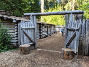
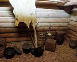
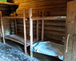
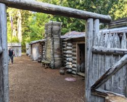
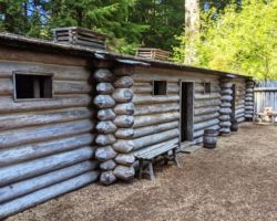
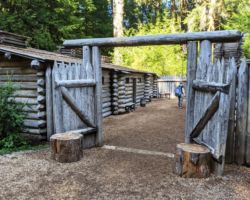
We strolled through the museum area, but I have never been much of a museum display guy, so we made short work of that. We went outside and saw the Fort Clatsop, but again, I was racing for more instead of relaxing and appreciating the moment for everything that it was. I literally raged in the Fort gates, circled around the inner yard, and left, searching for the real interesting stuff. I mean, this was like a kid’s fort in a backyard somewhere. This couldn’t really be all there was?
To make matters worse, they had just covered a third of the roof with blue plastic tarps to hold out the rain and the maintenance guys were there talking about repairs and damage and the work they had to do. It wasn’t exactly helping to place me into the winter of 1806 Corps of Discovery so I could be at one with the setting and history and spirit of the place. Fortunately there was a rangerette sitting alone under a canopy with a bunch of empty benches in front of her as if awaiting her next presentation. I went up to her and she greeted me warmly so I sat down and started to talk with her. She was great. We talked and talked and Kristen joined us and I was feeling better about the whole thing.
I slowly re-entered the Fort and wandered into each room. Then we walked down the trail to their canoe landing spot and I noticed, as the rangerette had mentioned, that the Fort was at the top of a hill and it was a decent down to the river’s edge. We could imagine the canoes being pulled up onto shore and the supplies being hauled up the hill. It was a real nice scene.
We went back in the museum and caught a good portion of the video they play about the history. It was cool because much of it was from the Indians perspective. I went through the gift shop trying to find a shirt to buy, but nothing caught me eye. I guess we were done here. The timing was actually a gift because in addition to Clatsop, I really wanted to spend some time at the furthest most N’Western tip of Oregon covered by Fort Stevens State Park.
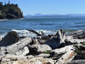
I had seen on Googly what a massive park this is at the tip of the Pacific and the Columbia and wanted to check it out. It has military history from the Civil War to WWII, a shipwreck, campgrounds, lakes, cemetery, numerous gun emplacements, disk golf, miles of hiking trails, and the South jetty that creates the entrance to the Columbia from the Pacific. I knew there was a lot to see going in, and we allotted a fair amount of time, but, of course, not nearly enough. This could be another trip all by itself.
We drove out to the farthest tip, a fishing hook shaped point of the peninsula to find it closed for construction. We tried to hike beyond the cyclone fencing, but it was too much. We happened upon another spot that was exactly what we were looking for and drove out on the sandy spit near some guys that were surf fishing and watched the birdies and ships and fishers do their thing while we enjoyed a beverage in the car.
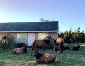
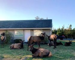
It was getting late and we had to cross over the Columbia into Washington for the night. We cruised a few campgrounds, but missed pretty much all of the historic Fort. Nonetheless, it was very beautiful and green and wet. I wondered if moose ever come this far South, but I knew it must be Elk country. I just mentioned to Kristen that I would love to see some elk, but we had left the park and entered the residential neighborhood of Warrenton. As we were cruising down main street starting to look for signage to get back on 101 and head to Washington, like a natural history display not 10 feet from the road is a group of 10 or so elk.
I slowed dangerous fast and pulled off to the side, deciding how big of a nuisance I dared to be. Deciding on maximum nuisance, we turned around and turned onto the little dirt road between the houses, literally through the small herd of Elk. They hardly budged or stopped eating grass, or resting, or thinking about the stupid humans. Another 6 were on the other side of the road, and another 4 in another houses front yard, and another 4 in a field down the road. It was so cool to get to see them so natural and so close, literally on the porches of these little houses. What a treat.
Absolutely and completely satisfied with the day’s discoveries, and sights, and sounds, we got back onto 101 and into Astoria. Just across Youngs Bay, we hit traffic. As we later learned from fellow Long Beach visitors later that night, there was an accident on the Megler Bridge, and that held us up for a good hour before we crossed over into Washington and headed West into Long Beach for the night.
It was a little surreal as we entered town and drove past the hotel I had check out on line on Googly to check out the side streets and parking and proximity to food and such. It turned out not to be the place we were staying. Flying totally blind now, I was super uneasy to discover the place we were staying, now knowing nothing about it. Fortunately, it turned out to be a nice place, very recently renovated, and equally close to food options. Or so we thought.
We were apparently far enough after peak season, or because it was midweek, or we also heard of a recent storm, but whatever the reason, at 8:00 pm this Thursday night, we had a choice of the crowded local bar that allegedly served food, or the off main street Mexican place. We opted for Mexican, and although they were shutting down and we couldn’t eat there, they would make something for us that we could take back with us. Good enough. While we waited in the beautiful evening air of the courtyard, we talked with a younger couple that had been coming out to Long Beach and Cape Disappointment just to the South along the north side of the Columbia for years. They were the ones just ahead of us on the Megler Bridge that told us about the accident.
We got our grub on in the motel room and watched TV for a bit before crashing hard for the night. It was a fantastic day, but I was up early and eager for another full day of L&C stuff. We found a killer restaurant right on the beach on the third floor of a hotel. Very few people were there, and after a short wait, the nice lady gave us the best seat in the house. The food was great and the cute local waitress began to share more and more of a budding new relationship she is having with her old high school beau. She has 3 kids, although she was tiny and petite, and had a kind of old hippy flare.
She said she was one of the awkward kids and he was a popular kid, athlete, all the cool friends, wealthy, and his current friends are all the business owners and movers and shakers in town. It was like she was back in high school all over again. It was adorable how she just opened up to us. She told us about their recent date and how her kids teased her so much because of how she was acting. It got us in a great mood and really set a good tone for the day.
We walked along the elevated wooden boardwalk they had built above the dunes and read the informative signs about the wildlife, birds, whales, and dunes. It was a sweet little walk. Then we headed South along back roads looking at all the beautiful homes. It seems to me Washingtonians really take care of their places. We hardly saw any run-down, trashy places, very little junk all over the property, no old car, truck, or equipment collections. I think of it in much higher terms than Oregon in that sense. Plus, the people generally seem nicer to me than the general Oregonian.
We missed the Cranberry Museum, but we drove around the tiny town of Ilwaco to check out 2 places I had considered staying because they were right on the marina. Glad we didn’t. We drove through the Port to the end of the harbor and saw the fuel port, and fish processing docks and the boat launch and crane. It was a very cool spot. From there, we headed further South into Cape Disappointment State Park, our final destination.
It is unfortunate they named this place Cape Disappointment because it is anything but. The name is derived from Captain John Meares, an Irish born British sailor, adventurer, and West coast fur trader who explored the coast of Canada and Washington in 1788. He thought the Columbia River was a bay and missed out on discovering the mouth and the river. Hence, the Disappointment. However, this irrelevant British fun fact giving this negative name to such an otherwise overwhelmingly American positive, exciting, rewarding, beneficial, and beautiful place is very disappointing.
First of all, this was the ending place for L&C and the Corps of Discovery, one of the most important events in American history. Second, it is the mouth of the Columbia River, one of the largest, most important and historically significant rivers in the country. And third, why are we letting an insignificant Britain give this area such a crappy name when it should reflect its significance to the formation of our country, or the indigenous people who were here first. It deserves a way better name. And way better parking and access.
We drove to the end of the road to find a small unassuming parking with no signing at all. I felt like I was at a trailhead and had missed the turn for the L&C Interpretive Center that was supposed to be here. I turned around and drove up another road that ended adjacent to the Interpretive Center, where you would imagine the parking lot, but it only had about 6 Handiman spaces and 6 employee spaces. It was ridiculous. We went down to the first lot, parked, and passed a single metal post with a sign on it at the far end of the lot, at the beginning of a long, steep path up to the Center. With the average age of visitors being 69, surely the park could do better.
Nearly needed resuscitation at the top, we had to help several seniors find their partners, having dropped one off at the top, the other driving back down to park and having to manage coming up the cliff alone. I guess a lot of things in California make a bigger splash or louder announcement, or maybe we are just a little dull and need more obvious help, but the signage and directions in Washington appear to me to be a tad understated. Or maybe the view of the ocean from high on this bluff was so breathtaking, that is where my attention went.
Finally noting the entrance to the museum, we went inside, where again, you’d think they could do better. The poor volunteers had to explain to every single visitor that the upstairs was a free maritime museum and the downstairs was the L&C part that cost $5. Not only was it incredibly tedious to have to say that 500 times a day all day long, but it was very distracting to have to hear it the entire time you were going through the museum.
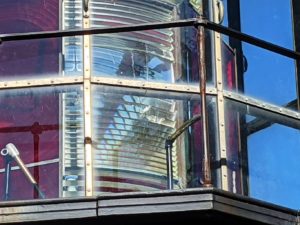
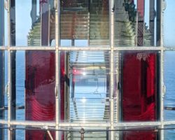
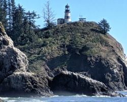
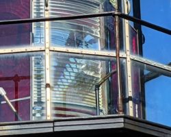
However, the museum was very cool, and nearly empty, so you could take your time reading and seeing all the exhibits. The upstairs had an old wooden Coast Guard rescue boat and pictures and stories of ships that had sunk in the treacherous currents, tides, rocks, and sand bars that mangled up the entrance to the river and the rescues that took place. They had a cool first-order Fresnel lens from the Cape Disappointment Lighthouse on display.
As you walk down the circular ramp to the lower L&C exhibit, you are walking through time with the beginnings of the journey. When President Jefferson announced plans to send and expedition West in 1803 and selecting Meriwether Lewis, who in turn asked his friend and former commanding officer William Clark to come with him. They started on the Missouri river on May 14, 1804.
After 5 months and 1600 miles on the Missouri, they wintered at Fort Mandan, where they met Toussaint Charbonneau and his tasty young Shoshone wife, Sacagawea. In April, 1805, they left the Mandan Village and arrived at Cape Disappointment in November 1805. After 10 days of exploring on the North side of the Columbia, they headed to the South side and built Fort Clatsop on a sheltered knoll, a few miles inland, above what is now Lewis and Clark River, just downstream from Youngs Bay. They built the fort in about 3 weeks and stayed for about 3 months. They returned home on March 23, 1806 and were back in 6 months, a third of the time it took them to get here.
It was a great exhibit, and at the end we watched another movie, focusing mostly on the Native American experience. We were the only people in the theatre. Back outside, we saw the WWII gun emplacements that the L&C museum is literally built upon. We walked through the bunkers and tunnels and read those displays about the old Fort Canby. It was quite a contrast to the L&C stuff, but equally interesting.
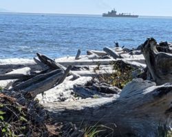
We drove back down the hill to a boat launch and wondered how far we would get if we went down the road to the Coast guard Station. We drove through the campground and along O’Neil Lake. We ended up having a beverage and sitting in the warm sun at the North jetty, looking across the vast mouth of the Columbia, back at where we had been at Fort Stevens. Just to our left was Waikiki Beach and it had quite a few people playing in the surf and dogs running about splashing in the waves. It was a great spot.
About 3:00, we turned the rig North and headed for Bonney Lake. Back through Ilwacki, North on 101 alongside Willapa Bay, I was getting hungry and we passed a place called Clark’s that was exactly what I was looking for. But no, I didn’t stop because there may be a place even more exactly what I was looking for, but not this time. We got all the way into Montesano, and ate at a place called Gepeto’s. I had hopes, but the food was rough and on our way out we noticed all the crazy Trump and Covid conspiracy signs covering the lot next door. Good luck.
We passed through Olympia and Joint Base Lewis-McChord and the county fair, and on to Bonney Lake, getting there just at dark, with a little help from Sharidi. It was great to see them, and the doggy, and their new house, and beautiful neighborhood with the awesome views of 14, 410’ Mount Rainier. We slept a little in sweet Molina’s bedroom, then took a great walk on their neighborhood trails through the woods to a killer coffee house with an astounding view of Mt. Rainier.
We chatted with some people and petted friendly dogs, then headed back to the house. Sharidi took us on a great bike ride along an old train right of way, from South Prairie along the Foothills Trail to Wally’s Drive-in in Buckley, where we sat outside in their patio and had a great lunch at this old fashioned drive-in diner. Back on our 5 mile return, Molina and I hopped in the creek and were treated to 3 or 4 salmon making their way upstream. It was super cool to see them so clearly and watch them for so long. Back home, Molina and I played catch out in front of their house. She used her Lacrosse stick and was getting much better at catching by the time we were done. Then it was time to see if Shawn and Kristen could figure out how to get the Niners game on Sunday night football. After quite a bit of accessing and signing up for stuff and codes and passwords, they figured it out. Although it resulted in a very disappointing loss to the lowly Packers, it was a real exciting game.
We had pizza and relaxed and talked around the table, until heading off to bed. Sleep was awesome and thankfully, after talking to Shawn, we had an extra early but warranted departure. It was not even 5:30 and dark until we got into Olympia on I-5. There was an accident on Northbound 5 that caused a massive backup of heavy traffic. Not a good Monday morning. However, we cruised along just great, back into Oregon in a steady rain, until we hit the morning commute traffic into Portland. This cost us about an hour sitting in big congestion, but thanks to our early start, we felt good about things, and of course the novelty of seeing, hearing, feeling, and smelling actual rain was entertaining.
Before long, we stopped for a great Mexican lunch in Ashland, returned to California, and were home by 7 or so. It was 14 hours of traveling to bring our trip to an end, and what a great trip it was.
